Tilden in McMullen County, Texas — The American South (West South Central)
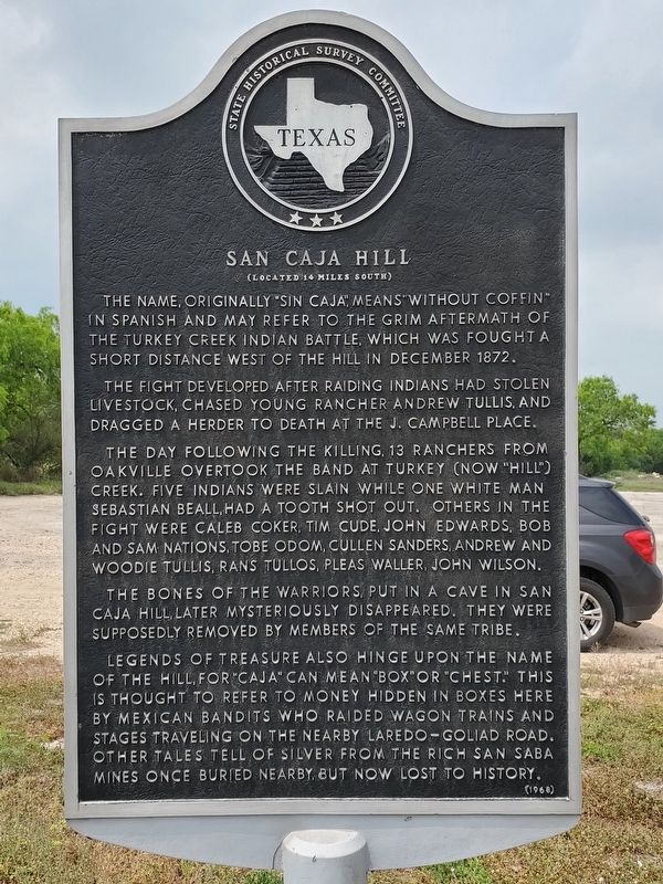
San Caja Hill
(Located 14 Miles South)
The name, originally "Sin Caja", means "without coffin" in Spanish and may refer to the grim aftermath of the Turkey Creek Indian Battle, which was fought a short distance west of the hill in December 1872.
The fight developed after raiding Indians had stolen livestock, chased young rancher Andrew Tullis, and dragged a herder to death at the J. Campbell place.
The day following the killing, 13 ranchers from Oakville overtook the band at Turkey (now "Hill") Creek. Five Indians were slain, while one white man, Sebastian Beall, had a tooth shot out. Others in the fight were Caleb Coker, Tim Cude, John Edwards, Bob and Sam Nations, Tobe Odom, Cullen Sanders, Andrew and Woodie Tullis, Rans Tullos, Pleas Waller, John Wilson.
The bones of the warriors, put in a cave in San Caja Hill, later mysteriously disappeared. They were supposedly removed by members of the same tribe.
Legends of treasure also hinge upon the name of the hill, for "Caja" can mean "box" or "chest." This is thought to refer to money hidden in boxes here by Mexican bandits who raided wagon trains and stages traveling on the nearby Laredo-Goliad Road. Other tales tell of silver from the rich San Saba mines once buried nearby, but now lost to history.
Erected 1968 by State Historical Survey Committee. (Marker Number 4529.)
Topics. This historical marker is listed in this topic list: Landmarks.
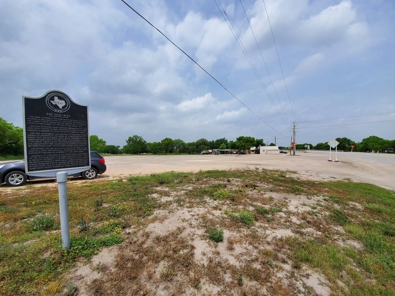
Location. 28° 27.817′ N, 98° 32.875′ W. Marker is in Tilden, Texas, in McMullen County. Marker is on River Street (State Highway 16/72) north of Water Street, on the right when traveling south. Touch for map. Marker is in this post office area: Tilden TX 78072, United States of America. Touch for directions.
Other nearby markers. At least 8 other markers are within walking distance of this marker. Camp Rio Frio, C.S.A. (within shouting distance of this marker); Original Burial Site of Moses William Hindes (about 700 feet away, measured in a direct line); Boot Hill Cemetery, 1858-77 (about 700 feet away); McMullen County (approx. 0.2 miles away); Old Rock Store (approx. 0.2 miles away); Dog Town Jail (approx. 0.2 miles away); Tilden (approx. 0.2 miles away); Old McMullen College (approx. half a mile away). Touch for a list and map of all markers in Tilden.
Also see . . . San Caja Hill - The Handbook of Texas Online. Texas State Historical Association (TSHA) (Submitted on April 9, 2019, by Brian Anderson of Humble, Texas.)
Credits. This page was last revised on November 28, 2020. It was originally submitted on April 9, 2019, by Brian Anderson of Humble, Texas. This page has been viewed 536 times since then and 88 times this year. Photos: 1, 2. submitted on April 9, 2019, by Brian Anderson of Humble, Texas.

