Near Tilden in McMullen County, Texas — The American South (West South Central)
Townsite of Wentz
Five Miles Southeast to
Photographed by Brian Anderson, April 6, 2019
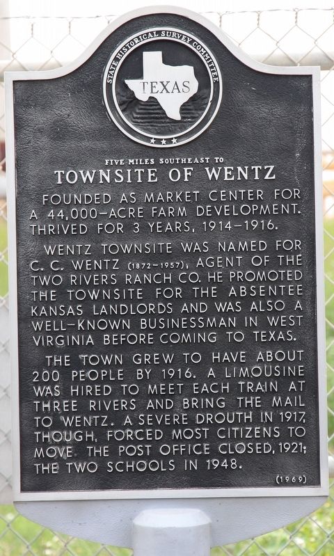
1. Townsite of Wentz Marker
Founded as market center for a 44,000-acre farm development. Thrived for 3 years, 1914-1916.
Wentz townsite was named for C.C. Wentz (1872-1957), agent of the Two Rivers Ranch Co. He promoted the townsite for the absentee Kansas landlords, and was also a well-known businessman in West Virginia before coming to Texas.
The town grew to have about 200 people by 1916. A limousine was hired to meet each train at Three Rivers and bring the mail to Wentz. A severe drouth in 1917, though, forced most citizens to move. The post office closed, 1921; the two schools in 1948.
Erected 1969 by State Historical Survey Committee. (Marker Number 5546.)
Topics. This historical marker is listed in this topic list: Settlements & Settlers. A significant historical year for this entry is 1914.
Location. 28° 27.602′ N, 98° 26.508′ W. Marker is near Tilden, Texas, in McMullen County. It is at the intersection of State Highway 72 and Farm to Market Road 99, on the right when traveling east on State Highway 72. Touch for map. Marker is in this post office area: Tilden TX 78072, United States of America. Touch for directions.

Regionally, this marker is in South Texas. It is also in the American Borderlands. Globally, it is in North America, a Gulf of Mexico state, the Western Hemisphere, the Western World, and the Anglosphere. Historically, it finds itself in what was once New Spain, the Republic of Texas, and one of the Confederate States of America.
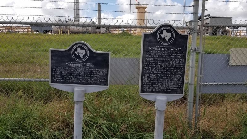
Other nearby markers. At least 8 other markers are within 7 miles of this marker, measured as the crow flies: Yarbrough Bend (here, next to this marker); Calliham (approx. 5.8 miles away); First Producing Gas Well in McMullen County and First Gas Pipeline to San Antonio (approx. 5.8 miles away); Louisa Renshaw Covey (approx. 6.2 miles away); John Swanson Yarbrough
this page online
Also see . . . Wentz, Texas - The Handbook of Texas Online. Texas State Historical Association (TSHA) (Submitted on April 9, 2019, by Brian Anderson of New Albany, Ohio.)
Photographed by James Hulse, August 29, 2021
2. The Townsite of Wentz Marker is the marker on the right of the two markers
Photographed by James Hulse, August 29, 2021
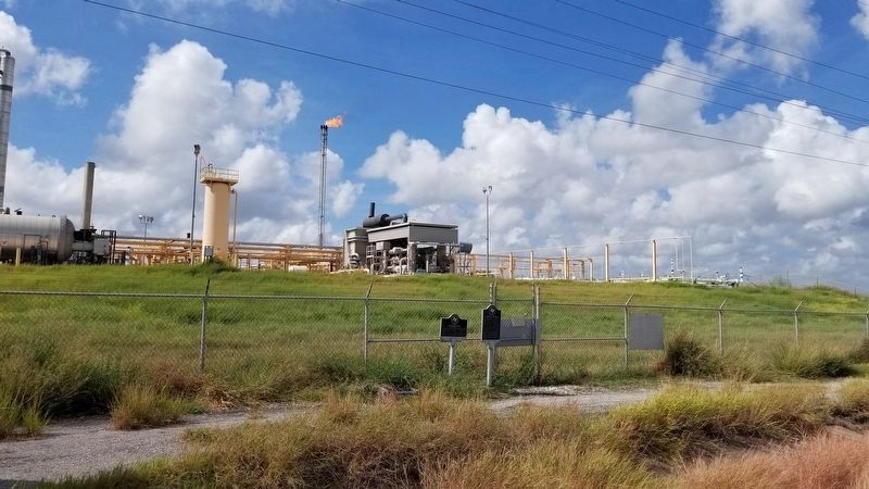
3. The view of the markers from the street

Photographed by Jeff Leichsenring, April 12, 2026
4. Townsite of Wentz Marker
Marker is on the right; Yarbrough Bend (5923) marker is on the left
Credits. This page was last revised on April 14, 2026. It was originally submitted on April 9, 2019, by Brian Anderson of New Albany, Ohio. This page has been viewed 575 times since then and 46 times this year. Photos: 1. submitted on April 13, 2019, by Brian Anderson of New Albany, Ohio. 2, 3. submitted on September 1, 2021, by James Hulse of Medina, Texas. 4. submitted on April 13, 2026, by Jeff Leichsenring of Garland, Texas.
