Outer Richmond in San Francisco City and County, California — The American West (Pacific Coastal)
Ticket to Ride
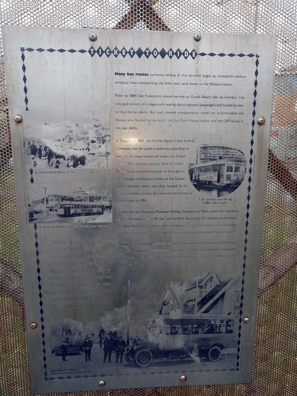
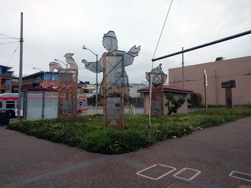
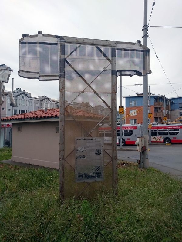
Many bus routes currently ending at this terminal began as nineteenth-century streetcar lines transporting city folks over sand dunes to the Western shore.
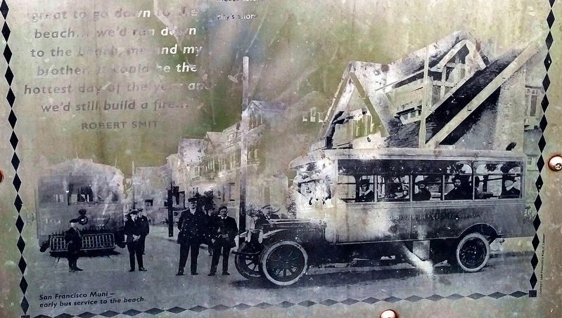
Prior to 1884, San Francisco's transit service to Ocean Beach was via omnibus — an enlarged version of a stagecoach seating about eighteen passengers and hauled by two- or four-horse teams. But such limited transportation could not accomodate the masses who flocked to the beach, the Seal Rock House resort, and the Cliff House in the late 1800s.
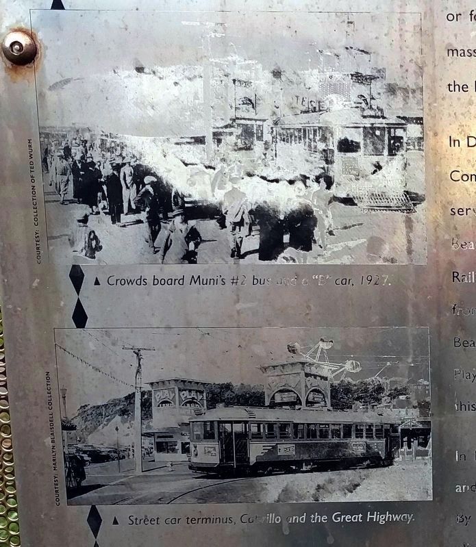
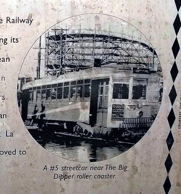
In December 1883, the Market Street Cable Railway Company met the public's needs by extending its service of steam-powered trams to Ocean Beach. The instantly popular Park & Ocean Railroad line carried thousands of beachgoers from Haight and Stanyan streets to the Ocean Beach Terminal, which was then located at La Playa and Balboa streets (the terminal was moved to this location in 1995).
In 1912, the San Francisco Municipal Railway Company, or Muni, came into existence and in 1913 expanded its "B Line" service from Geary and 33rd Avenue to the beach. By 1925, Muni had bought out their competitors' transit franchises and consolidated all public transportation within the city; it continues to provide local service today.
The turn-of-the-century expansion of public transportation to this site couldn't have been more timely. The debut of carnival stands at the beach spawned the amusement mecca later known as Playland and created a demand for mass transporation to the city's shore.
"When we were kids, we were out here all the time and it was always great to go down to the beach... we'd run down to the beach, me and my brother. It could be the hottest day of the year and we'd still build a fire..."
Robert Smit
Erected 1996.
Topics. This historical marker is listed in this topic list: Railroads & Streetcars. A significant historical month for this entry is December 1883.
Location. 37° 46.405′ N, 122° 30.583′ W. Marker is in San Francisco, California, in San Francisco City and County. It is in Outer Richmond. Marker is on Cabrillo Street near La Playa Street, on the right when traveling west. Touch for map. Marker is in this post office area: San Francisco CA 94121, United States of America. Touch for directions.
Other nearby markers. At least 8 other markers are within walking distance of this marker. Turning Sand to Gold (here, next to this marker); Hints of History (a few steps from this marker); The City at Play (a few steps from this marker); A Memorable Muse (a few steps from this marker); Historical Site (within shouting distance of this marker); North Dutch Windmill (approx. 0.2 miles away); Roald Amundsen
(approx. ¼ mile away); The Sutro Home (approx. 0.3 miles away). Touch for a list and map of all markers in San Francisco.
Also see . . .
1. Market Street Railway Company, Past, Present and Future. Article from September 1925 San Francisco News Letter posted on the website of The Virtual Museum of the City of San Francisco. (Submitted on April 10, 2019, by Joel Seewald of Madison Heights, Michigan.)
2. Muni History. (Submitted on April 10, 2019, by Joel Seewald of Madison Heights, Michigan.)
Credits. This page was last revised on February 7, 2023. It was originally submitted on April 10, 2019, by Joel Seewald of Madison Heights, Michigan. This page has been viewed 186 times since then and 9 times this year. Photos: 1, 2, 3, 4, 5, 6. submitted on April 10, 2019, by Joel Seewald of Madison Heights, Michigan.
