Southwark in Greater London, England, United Kingdom — Northwestern Europe (the British Isles)
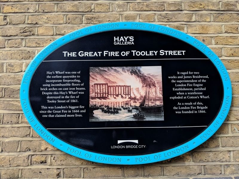
The Great Fire of Tooley Street
Photographed by Mike Wintermantel, April 5, 2019
1. The Great Fire of Tooley Street Marker
Hay's Wharf was one of the earliest quaysides to incorporate fireproofing, using incombustible floors of brick arches on cast iron beams. Despite this Hay's Wharf was destroyed in the fire of Tooley Street of 1861.
This was London's biggest fire since the Great Fire in 1666 and one that claimed more lives.
It raged for two weeks and James Braidwood, the superintendent of the London Fire Engine Establishment, perished when a warehouse exploded at Cotton's Wharf.
As a result of this, the London Fire Brigade was founded in 1866.
Erected by Hay's Galleria, London Bridge City.
Topics. This historical marker is listed in this topic list: Disasters. A significant historical year for this entry is 1861.
Location. 51° 30.303′ N, 0° 5.035′ W. Marker is in Southwark, England, in Greater London. It is at the intersection of Battle Bridge Lane and Tooley Street (England Route A200), on the right when traveling south on Battle Bridge Lane. Touch for map. Marker is in this post office area: Southwark, England SE1 2QN, United Kingdom. Touch for directions.

Regionally, this marker is in the Greater South East. Globally, it
this page online
Other nearby markers. At least 8 other markers are within walking distance of this marker: Hay's Wharf (within shouting distance of this marker); The Church of St. Olave (about 210 meters away, measured in a direct line); Potters Fields Park (approx. 0.4 kilometers away); The Glaziers Hall (approx. 0.4 kilometers away); William Nicholson (approx. 0.4 kilometers away); St. Saviour’s & St. Olaves Girls’ School (approx. 0.4 kilometers away); The George Inn (approx. 0.4 kilometers away); Southwark Cathedral (approx. 0.4 kilometers away). Touch for a list and map of all markers in Southwark.
Also see . . . 1861 Tooley Street Fire. Wikipedia entry (Submitted on May 24, 2025, by Larry Gertner of New York, New York.)
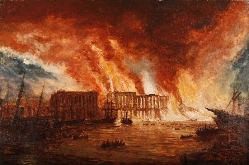
via London Fire Brigade, unknown
2. The Tooley Street Fire
London Fire Brigade website entry
Click for more information.
Click for more information.
Photographed by Mike Wintermantel, April 5, 2019
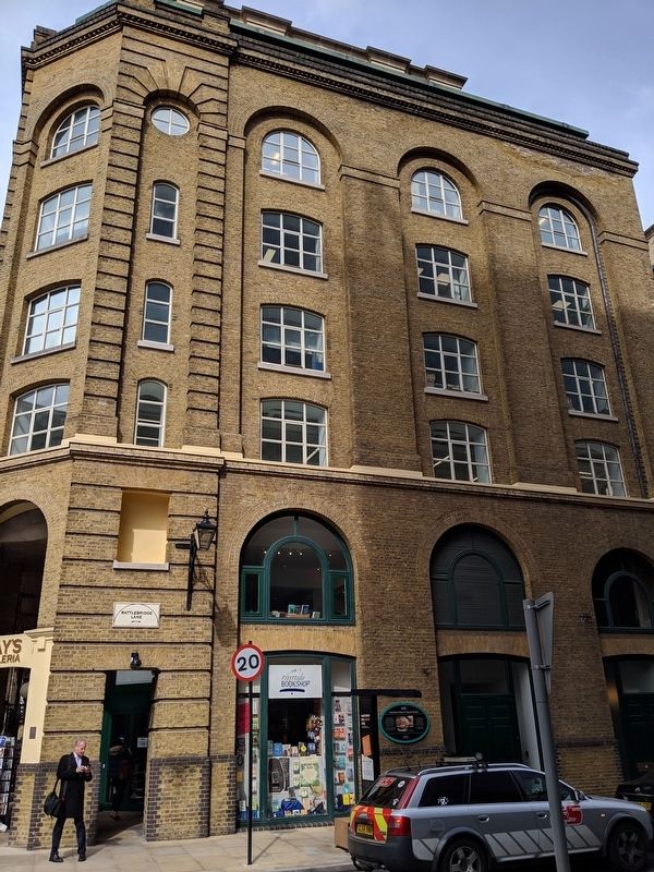
3. The Great Fire of Tooley Street Marker
Credits. This page was last revised on May 24, 2025. It was originally submitted on April 11, 2019, by Mike Wintermantel of Pittsburgh, Pennsylvania. This page has been viewed 390 times since then and 42 times this year. Photos: 1. submitted on April 11, 2019, by Mike Wintermantel of Pittsburgh, Pennsylvania. 2. submitted on May 24, 2025, by Larry Gertner of New York, New York. 3. submitted on April 11, 2019, by Mike Wintermantel of Pittsburgh, Pennsylvania.
