Southwark in Greater London, England, United Kingdom — Northwestern Europe (the British Isles)
The Church of St. Olave
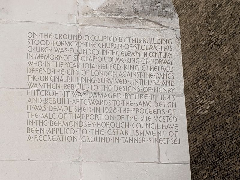
Photographed by Mike Wintermantel, April 5, 2019
1. The Church of St. Olave Marker
Topics. This historical marker is listed in these topic lists: Disasters • Religion & Religious Structures.
Location. 51° 30.373′ N, 0° 5.187′ W. Marker is in Southwark, England, in Greater London. It is at the intersection of Tooley Street (England Route A200) and Bridge Yard, on the right when traveling west on Tooley Street. Touch for map. Marker is in this post office area: Southwark, England 2E1 2PR, United Kingdom. Touch for directions.

Regionally,
this page online
Other nearby markers. At least 8 other markers are within walking distance of this marker: Hay's Wharf (about 150 meters away, measured in a direct line); The Glaziers Hall (about 150 meters away); William Nicholson (about 180 meters away); St. Saviour’s & St. Olaves Girls’ School (about 210 meters away); The Great Fire of Tooley Street (about 210 meters away); Southwark Cathedral (approx. 0.2 kilometers away); St. Saviour’s Southwark Private Property (approx. 0.3 kilometers away); St. Mary Overie’s Dock (approx. 0.3 kilometers away). Touch for a list and map of all markers in Southwark.
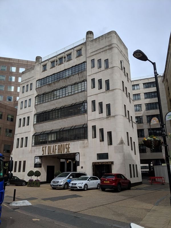
Photographed by Mike Wintermantel, April 5, 2019
2. The Church of St. Olave Marker
Credits. This page was last revised on January 27, 2022. It was originally submitted on April 11, 2019, by Mike Wintermantel of Pittsburgh, Pennsylvania. This page has been viewed 344 times since then and 29 times this year. Photos: 1, 2. submitted on April 11, 2019, by Mike Wintermantel of Pittsburgh, Pennsylvania.
