Palmyra in Lenawee County, Michigan — The American Midwest (Great Lakes)
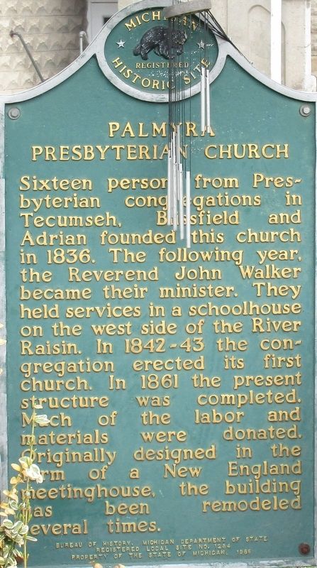
Palmyra Presbyterian Church
Photographed by Rev. Ronald Irick, April 11, 2019
1. Palmyra Presbyterian Church Marker
close up
Erected 1986 by Michigan Historical Society. (Marker Number 1284.)
Topics and series. This historical marker is listed in this topic list: Religion & Religious Structures. In addition, it is included in the Michigan Historical Commission series list. A significant historical year for this entry is 1836.
Location. 41° 51.742′ N, 83° 56.099′ W. Marker is in Palmyra, Michigan, in Lenawee County. It is at the intersection of Palmyra Road and Rouget Road, on the right when traveling north on Palmyra Road. marker is across the street from U.S. Post Office. Touch for map. Marker is at or near this postal address: 6370 Palmyra Road, Palmyra MI 49268, United States of America. Touch for directions.

Regionally, this marker is in the American Midwest. Globally, it is in North America, the Western Hemisphere, the Western World, and the Anglosphere. Historically, it finds itself in what was once the Northwest Territory.
Other nearby markers. At least 8 other markers are within 4 miles of this marker, measured as the crow flies: G.A.R. Civil War Memorial (approx. 3.4 miles away); Erie & Kalamazoo Railroad (approx. 3.7 miles away); Erie and Kalamazoo Rail Road / Rail Road (approx. 3.8 miles away); Carpenter House (approx. 3.8 miles away); Veterans Memorial (approx. 3.8 miles away); F-105G Thunderchief (approx.
this page online
Photographed by Rev. Ronald Irick, April 11, 2019
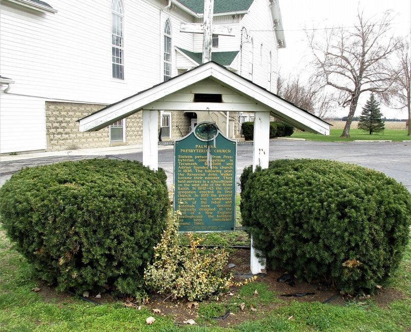
2. Palmyra Presbyterian Church Marker
full view of marker
Photographed by Rev. Ronald Irick, April 11, 2019
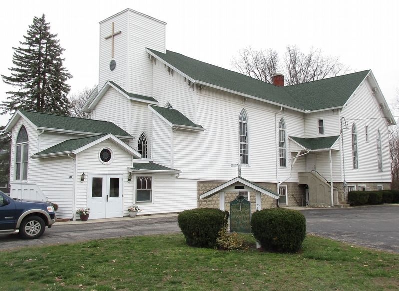
3. Palmyra Presbyterian Church Marker
marker as seen from the road, full view of church
Photographed by Rev. Ronald Irick, April 11, 2019
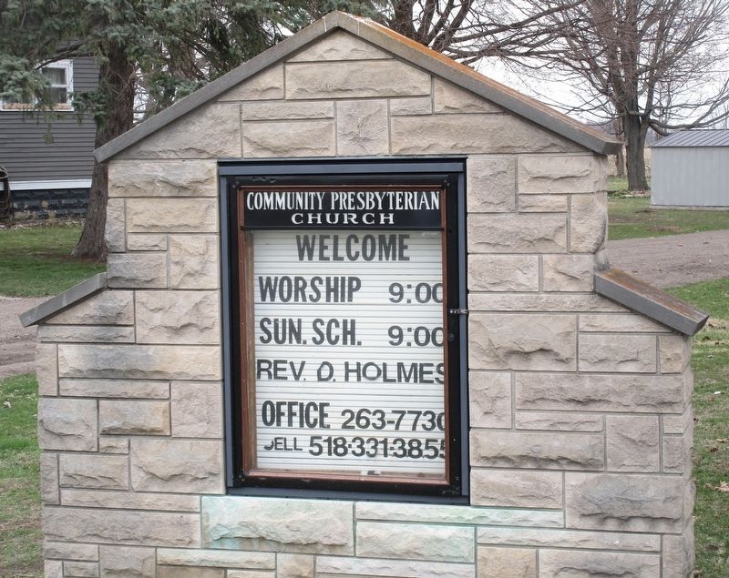
4. Palmyra Presbyterian Church Marker
church marquee, on north side of church
Credits. This page was last revised on April 21, 2019. It was originally submitted on April 12, 2019, by Rev. Ronald Irick of West Liberty, Ohio. This page has been viewed 425 times since then and 28 times this year. Photos: 1, 2, 3, 4. submitted on April 12, 2019, by Rev. Ronald Irick of West Liberty, Ohio. • Bill Pfingsten was the editor who published this page.
