Outer Richmond in San Francisco City and County, California — The American West (Pacific Coastal)
Historical Site
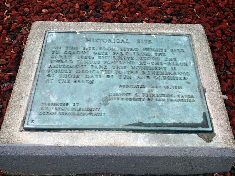
On this site, from Sutro Heights Park to Golden Gate Park, from the early 1920s until 1972, stood the world famous Playland-at-the-Beach amusement park. This monument is fondly dedicated to the remembrance of those days of fun and laughter at the beach.
Dedicated May 19, 1981
by
Dianne G. Feinstein, Mayor
City & County of San Francisco
Presented by
T. K. Kutay, President
Ocean Beach Associates
Erected 1981.
Topics. This historical marker is listed in this topic list: Entertainment. A significant historical date for this entry is May 19, 1981.
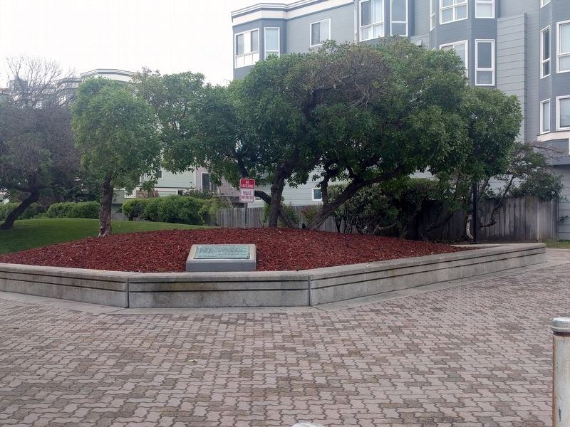
Location. 37° 46.392′ N, 122° 30.612′ W. Marker is in San Francisco, California, in San Francisco City and County. It is in Outer Richmond. Marker is at the intersection of La Playa Street and Cabrillo Street, on the left when traveling north on La Playa Street. Touch for map. Marker is in this post office area: San Francisco CA 94121, United States of America. Touch for directions.
Other nearby markers. At least 8 other markers are within walking distance of this marker. A Memorable Muse (within shouting distance of this marker); The City at Play (within shouting distance of this marker); Hints of History (within shouting distance of this marker); Turning Sand to Gold (within shouting distance of this marker); Ticket to Ride (within shouting distance of this marker); North Dutch Windmill (approx. 0.2 miles away); Roald Amundsen (approx. ¼ mile away); The Sutro Home (approx. 0.3 miles away). Touch for a list and map of all markers in San Francisco.
Also see . . . Playland (San Francisco). Wikipedia entry (Submitted on April 12, 2019, by Joel Seewald of Madison Heights, Michigan.)
Credits. This page was last revised on February 7, 2023. It was originally submitted on April 12, 2019, by Joel Seewald of Madison Heights, Michigan. This page has been viewed 249 times since then and 11 times this year. Photos: 1, 2. submitted on April 12, 2019, by Joel Seewald of Madison Heights, Michigan.

