Providence Township near Grand Rapids in Lucas County, Ohio — The American Midwest (Great Lakes)
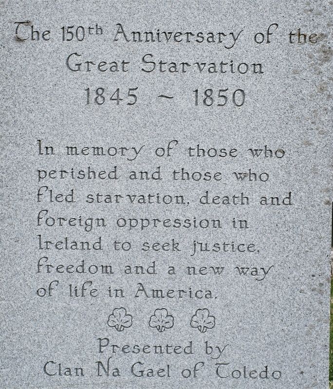
The 150th Anniversary of the Great Starvation
1845- 1850
| — | St. Patrick's Church | — |
Photographed by Rev. Ronald Irick, April 11, 2019
1. The 150th Anniversary of the Great Starvation Marker
close up of text
Erected 1995 by Clan Na Gael of Toledo.
Topics. This historical marker is listed in these topic lists: Disasters • Religion & Religious Structures.
Location. 41° 25.159′ N, 83° 52.376′ W. Marker is near Grand Rapids, Ohio, in Lucas County. It is in Providence Township. It is at the intersection of Providence Neapolis Swanton Road (County Route 109) and South River Road (U.S. 24), on the right when traveling south on Providence Neapolis Swanton Road. marker is on the east side of St. Patrick's Church. Touch for map. Marker is at or near this postal address: 14010 US-24 Grand Rapids OH 43522, Grand Rapids OH 43522, United States of America. Touch for directions.

Regionally, this marker is on the Lake Erie Shore and in the Toledo Metropolitan Area. It is also in the American Midwest and in the Corn
this page online
Other nearby markers. At least 8 other markers are within walking distance of this marker: St. Patrick Church (within shouting distance of this marker); Providence Historical District (about 400 feet away, measured in a direct line); Tempers Explode As Dams Get Built (approx. ¼ mile away); Foundations From The Past (approx. ¼ mile away); Water's Ways: Flood And Ice (approx. ¼ mile away); The Towpath Trail (approx. ¼ mile away); Sugar Maple (approx. half a mile away); M. J. Wright Pavillion (approx. half a mile away). Touch for a list and map of all markers in Grand Rapids.
Photographed by Rev. Ronald Irick, April 11, 2019
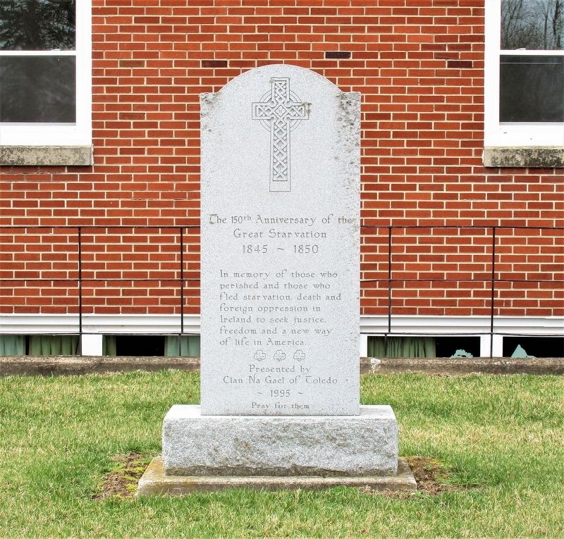
2. The 150th Anniversary of the Great Starvation Marker
full view of marker
Photographed by Rev. Ronald Irick, April 11, 2019
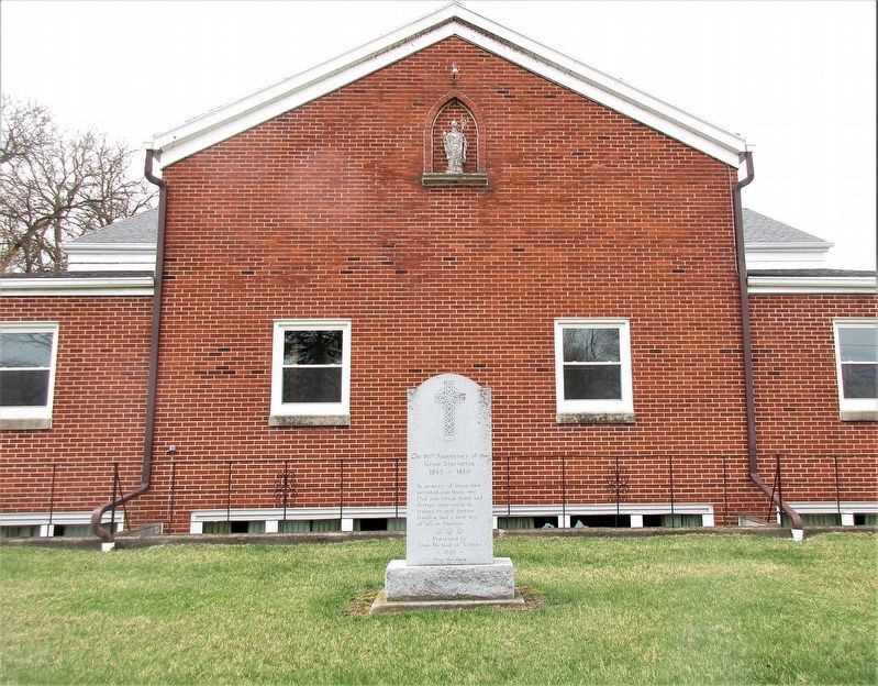
3. The 150th Anniversary of the Great Starvation Marker
marker as seen from a distance, on the east elevation of St. Patrick's Church
Photographed by Rev. Ronald Irick, April 11, 2019
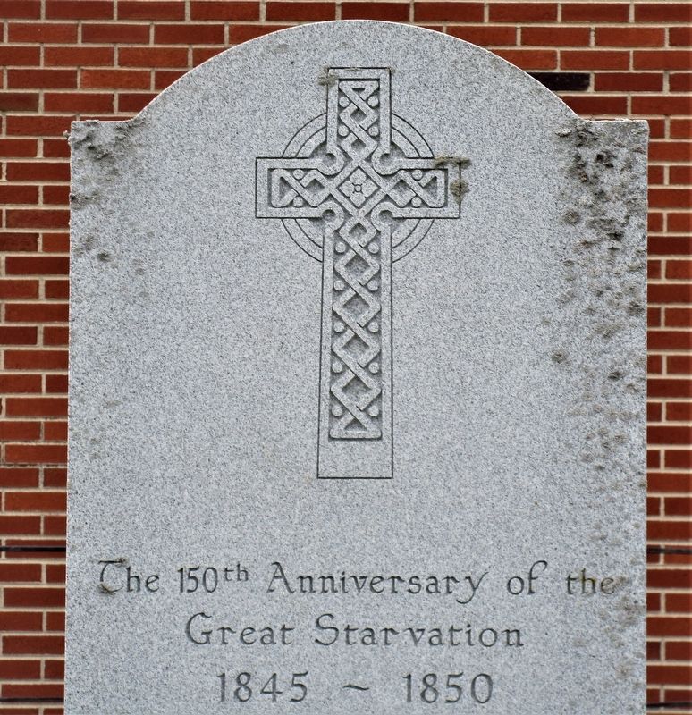
4. The 150th Anniversary of the Great Starvation Marker
artwork on marker
Credits. This page was last revised on February 6, 2023. It was originally submitted on April 12, 2019, by Rev. Ronald Irick of West Liberty, Ohio. This page has been viewed 446 times since then and 58 times this year. Photos: 1, 2. submitted on April 12, 2019, by Rev. Ronald Irick of West Liberty, Ohio. 3, 4. submitted on April 13, 2019, by Rev. Ronald Irick of West Liberty, Ohio. • Bill Pfingsten was the editor who published this page.
