Westfield in Chautauqua County, New York — The American Northeast (Mid-Atlantic)
First Presbyterian Church and Society

Photographed by Mark Parker, July 15, 2026
1. Full front shot of First Presbyterian Church and Society Marker
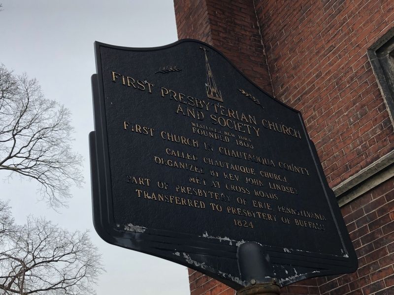
Founded 1808
First Church in Chautauqua County
Called Chautauqua Church
Organized by Rev. John Lindsey
Met at cross roads
Part of Presbytery of Erie, Pennsylvania
Transferred to Presbytery of Buffalo
1824
Topics. This historical marker is listed in this topic list: Religion & Religious Structures. A significant historical year for this entry is 1808.
Location. 42° 19.258′ N, 79° 34.645′ W. Marker is in Westfield, New York, in Chautauqua County. It is on South Portage Street (Route 394) north of McClurg Street, on the right when traveling north. Touch for map. Marker is at or near this postal address: 49 South Portage Street, Westfield NY 14787, United States of America. Touch for directions.

Regionally, this marker is in Upstate New York, specifically in Western New York, and in the Southern Tier. It is also in the American Northeast, in the Mid-Atlantic, in Appalachia, and specifically in Northern Appalachia. Globally, it is in North America, on the Great Lakes, in the Western Hemisphere, in the Western World, and in the Anglosphere. Historically, it finds itself in what
this page online
Other nearby markers. At least 8 other markers are within walking distance of this marker: McClurg Park (within shouting distance of this marker); Vincent M. Powers (within shouting distance of this marker); In Memory (about 400 feet away, measured in a direct line); Concord Grape Vines (about 400 feet away); In Memoriam (about 400 feet away); The Lincoln-Bedell Statue Park (about 500 feet away); Chautauqua County Civil War Memorial (about 500 feet away); Lincoln in Westfield (about 500 feet away). Touch for a list and map of all markers in Westfield.
Photographed by Devry Becker Jones (CC0), April 12, 2019
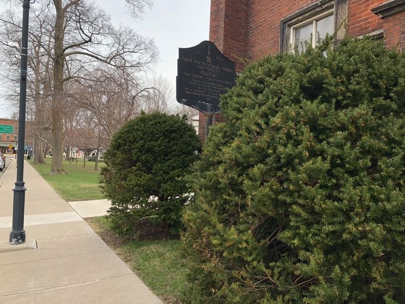
2. First Presbyterian Church and Society Marker
Photographed by Devry Becker Jones (CC0), April 12, 2019
3. First Presbyterian Church and Society Marker
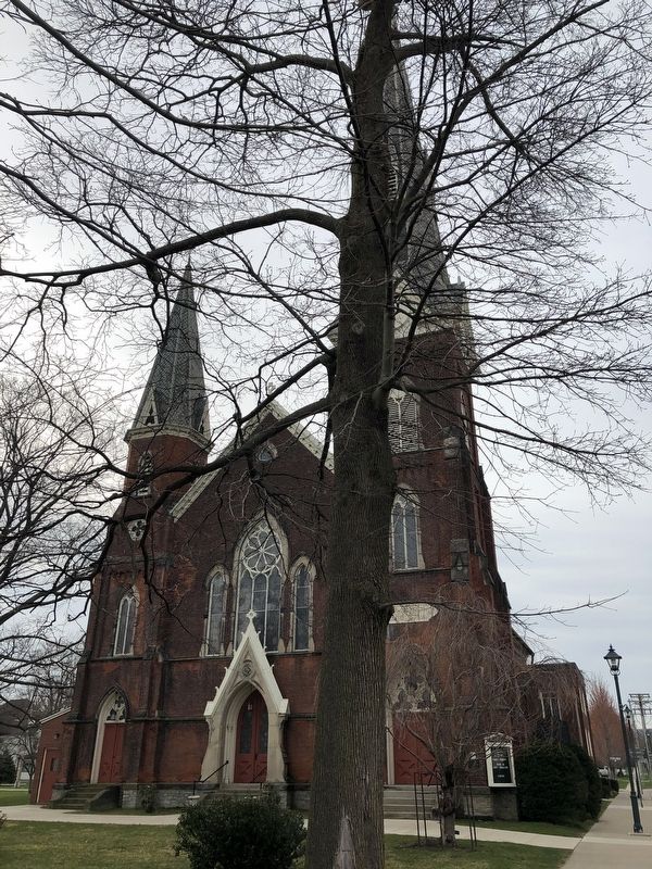
Photographed by Devry Becker Jones (CC0), April 12, 2019
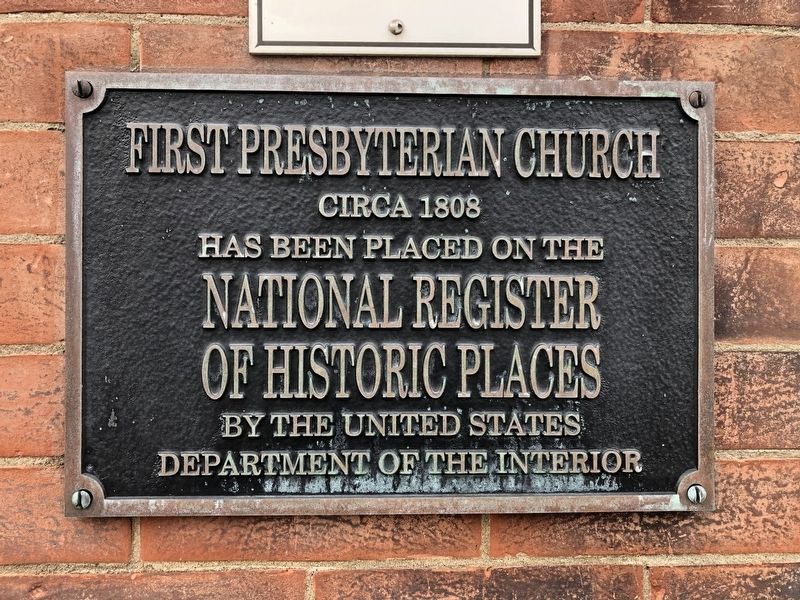
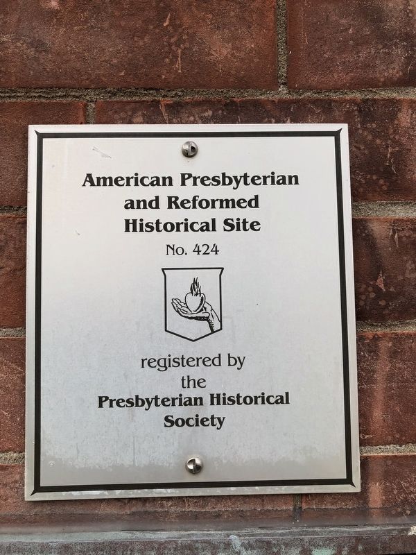
5. National Register of Historic Places plaque on the church
Credits. This page was last revised on July 16, 2026. It was originally submitted on April 15, 2019, by Devry Becker Jones of Washington, District of Columbia. This page has been viewed 368 times since then and 23 times this year. Photos: 1. submitted on July 15, 2026, by Mark Parker of Hickory, North Carolina. 2, 3, 4, 5, 6. submitted on April 15, 2019, by Devry Becker Jones of Washington, District of Columbia.
