
Waikiki in Honolulu in Honolulu County, Hawaii — Hawaiian Island Archipelago (Pacific Ocean)
Fort DeRussy
| — | Waikīkī Historic Trail | — |
Photographed by J. J. Prats, October 23, 2008
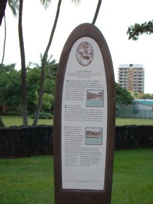
1. Fort DeRussy Marker
If you turn toward the mountains, all the land you see before you extending to the foothills of Mānoa Valley was planted in taro for many centuries. But, as the number of Hawaiian farmers in Waikīkī died off and the demand for poi decreased, by the 1870’s taro production praotically ceased. Successful rice planting experiments led to a kind of “rice fever” which swept of the islands.
Chinese rice planters took over abandoned taro patches and turned Waikīkī into a vast rice plantation. For a few years, rice not sugar, was king in Hawai’i. The disappearance of taro from Waikīkī not only marked
this page online
The coconut grove near this historical marker is the oldest and last of its kind in Waikīkī today.
Erected by the Vision Team of Kapahulu, Diamond Head and Waikīkī. (Marker Number 20.)
Topics. This historical marker is listed in this topic list: Military. A significant historical year for this entry is 1812.
Location. 21° 17.13′ N, 157° 49.998′ W. Marker is in Honolulu, Hawaii, in Honolulu County. It is in Waikiki. It is at the intersection of Ala Moana Boulevard and Kalakaua Avenue and Pau Street, on the right when traveling west on Ala Moana Boulevard. Touch for map. Marker is in this post office area: Honolulu HI 96815, United States
Photographed by J. J. Prats, October 23, 2008
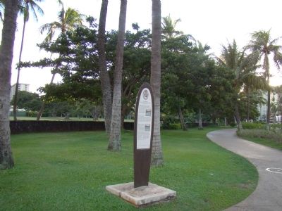
2. Fort DeRussy Park and Marker

Regionally, it is in North America, Polynesia, the Pacific Ocean, North Pacific, the Pacific Rim, the Western Hemisphere, the Western World, and the Anglosphere.
Other nearby markers. At least 8 other markers are within walking distance of this marker: King David Kalākaua (approx. 0.2 miles away); Kaha ha ʻlo me nā Makani (approx. 0.2 miles away); The Story of Kālia (approx. 0.2 miles away); Kuroda Field (approx. 0.2 miles away); “Brothers in Valor” Memorial (approx. ¼ mile away); The Ala Wai Canal (approx. ¼ mile away); Kãlia Fishponds (approx. 0.3 miles away); Rainbow Mural (approx. 0.3 miles away). Touch for a list and map of all markers in Honolulu.
More about this marker. Three photos reproduced on the marker have the following captions, “Between 1942 and 1945, an estimated 1 million civilian and military personnel passed through Hawai‘i. Ft. DeRussy was a hub of activity.” “Expansive rice paddies blanketed the wetlands of Waikiki in the early 20th
Photographed by J. J. Prats, October 23, 2008
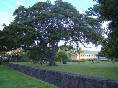
3. A Small Corner of Fort DeRussy Park
Additional keywords. Waikiki, Haloa
Photographed by J. J. Prats, October 23, 2008
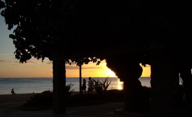
4. Sunset on Waikiki Beach at Fort DeRussy

Photographed by Kayla Harper, December 29, 2023
5. View of Fort DeRussy Park from the DoubleTree by Hilton Alana hotel
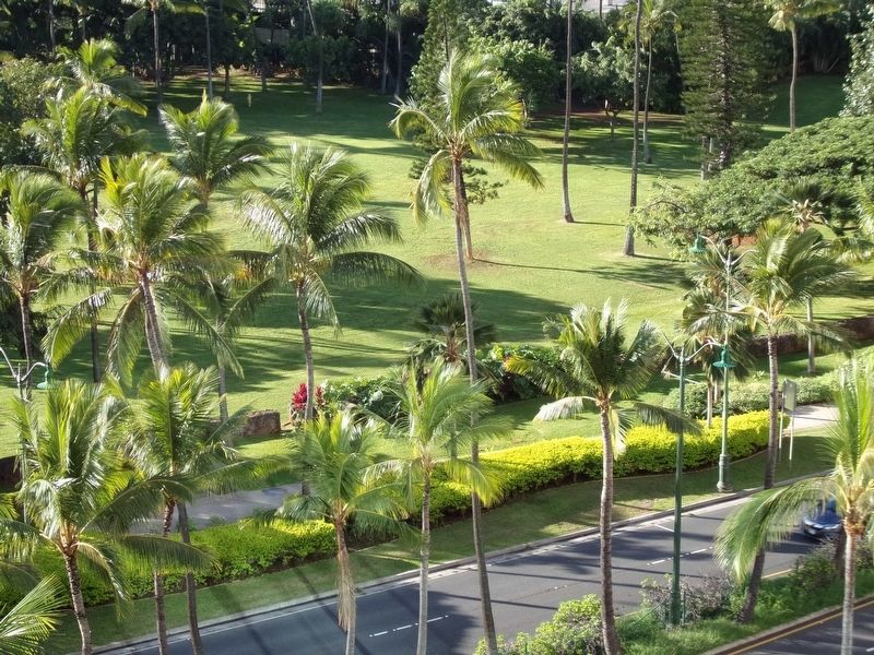
Photographed by Kayla Harper, December 29, 2023
6. View of Fort DeRussy Park from the DoubleTree by Hilton Alana hotel
Credits. This page was last revised on September 21, 2024. It was originally submitted on November 1, 2008, by J. J. Prats of Powell, Ohio. This page has been viewed 2,780 times since then and 63 times this year. Photos: 1, 2, 3, 4. submitted on November 1, 2008, by J. J. Prats of Powell, Ohio. 5, 6. submitted on September 15, 2024, by Kayla Harper of Dallas, Texas.
Editor’s want-list for this marker. Photos of the Hale Koa Hotel • Can you help?
