Near Monticello in San Juan County, Utah — The American Mountains (Southwest)
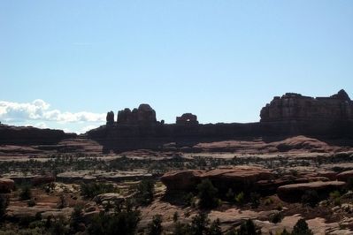
Wooden Shoe Arch
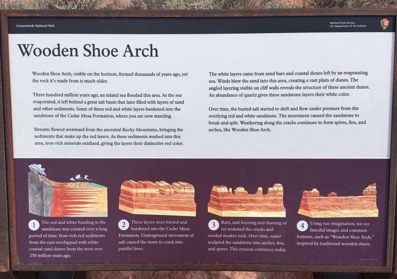
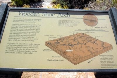
Three hundred million years ago, an inland sea flooded this area. As the sea evaporated, it left behind a great salt basin that later filled with layers of sand and other sediments. Some of these red and white layers hardened into the sandstone of the Cedar Mesa Formation, where you are now standing.
Streams flowed westward from the ancestral Rocky Mountains, bringing the sediments that make up the red layers. As these sediments washed into this area, iron-rich minerals oxidized, giving the layers their distinctive red color.
The white layers came from sand bars and coastal dunes left by an evaporating sea. Winds blew the sand into this area, creating a vast plain of dunes. The angled layering visible on cliff walls reveals the structure of these ancient dunes. An abundance of quartz gives these sandstone layers their white color.
Over time, the buried salt started to shift and flow under pressure from the overlying red and white sandstone. The movement caused the sandstone to break and split. Weathering along the cracks continues to form spires, fins, and arches, like Wooden Shoe Arch.
1. The red and white banding in the sandstone was created over a long period of time. Iron-rich red sediments from the east overlapped with white coastal sand dunes from the west over 250 million years ago.
2. These layers were buried and hardened into the Cedar Mesa Formation. Underground movement of salt caused the stone to crack into parallel lines.
3. Rain, and freezing and thawing of ice widened the cracks and eroded weaker rock. Over time, water sculpted the sandstone into arches, fins, and spires. This erosion continues today.
4. Using our imagination, we see fanciful images and common features, such as "Wooden Shoe Arch," inspired by traditional wooden shoes.
Erected by Canyonlands National Park.
Topics. This historical marker is listed in this topic list: Natural Features.
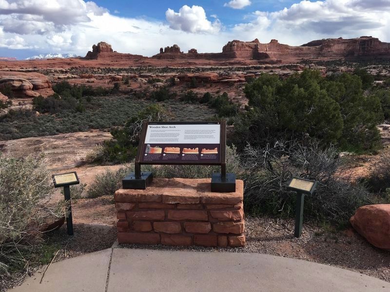
Location. 38° 9.025′ N, 109° 46.898′ W. Marker is near Monticello, Utah, in San Juan County. Marker is on Utah Route 211, 36 miles west of U.S. 191, on the left when traveling west. Marker is located in The Needles District of Canyonlands National Park, approximately two miles west of the Visitor Center. Touch for map. Marker is at or near this postal address: Canyonlands National Park, Monticello UT 84535, United States of America. Touch for directions.
Other nearby markers. At least 2 other markers are within 15 miles of this marker, measured as the crow flies. Protecting Wilderness (approx. 12 miles away); Tracks in the Canyon (approx. 14.2 miles away).
Also see . . . Canyonlands National Park - National Park Service. (Submitted on October 2, 2013.)
Credits. This page was last revised on April 17, 2019. It was originally submitted on October 2, 2013, by Duane Hall of Abilene, Texas. This page has been viewed 529 times since then and 24 times this year. Last updated on April 16, 2019, by Craig Baker of Sylmar, California. Photos: 1, 2. submitted on April 16, 2019, by Craig Baker of Sylmar, California. 3. submitted on March 16, 2016, by Duane Hall of Abilene, Texas. 4, 5. submitted on October 2, 2013, by Duane Hall of Abilene, Texas. • Bill Pfingsten was the editor who published this page.
