
Weare in Hillsborough County, New Hampshire — The American Northeast (New England)
Piscataquog River Mill Sites
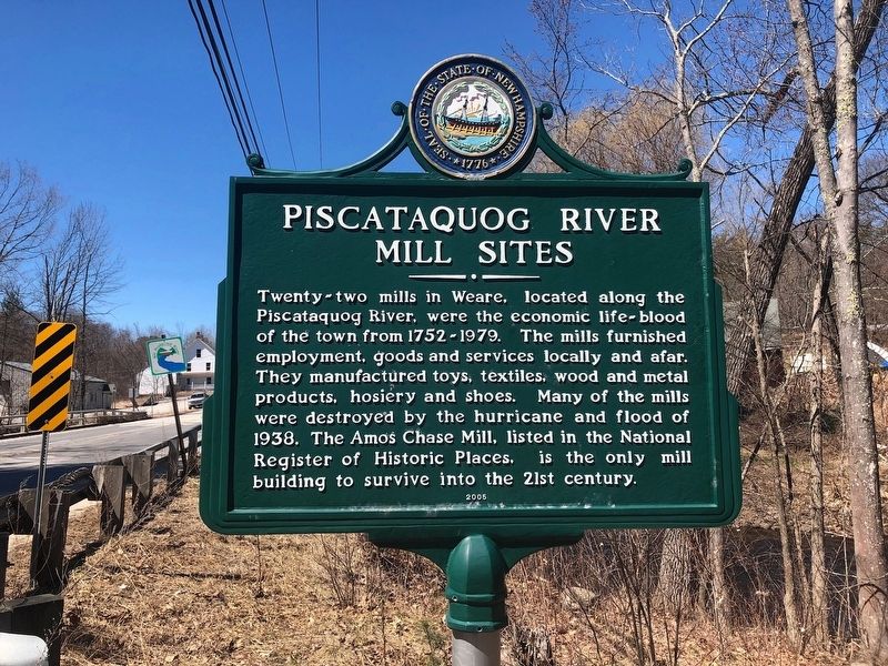
Photographed by Douglas Finney, April 17, 2019
1. Piscataquog River Mill Sites Marker
Erected 2005 by NH Dept. of Natural & Cultural Resources - Div. of Historical Resources. (Marker Number 0192.)
Topics. This historical marker is listed in this topic list: Industry & Commerce. A significant historical year for this entry is 1752.
Location. 43° 6.567′ N, 71° 45.008′ W. Marker is in Weare, New Hampshire, in Hillsborough County. It is on North Stark Highway (New Hampshire Route 114), on the right when traveling north. Located 1/10th of a mile south of the NH 114 junction with NH 77 at the south side of the bridge over the Piscataquog River. Touch for map. Marker is in this post office area: Weare NH 03281, United States of America.
this page online

Regionally, this marker is in Greater Manchester. It is also in the American Northeast and in New England. Globally, it is in North America, the Western Hemisphere, the Western World, and the Anglosphere. Historically, it finds itself in what was once one of the original Thirteen Colonies.
Other nearby markers. At least 8 other markers are within 6 miles of this marker, measured as the crow flies: East Weare Village (approx. 3.8 miles away); Site of First Church in Weare (approx. 4½ miles away); Pine Tree Riot (approx. 4½ miles away); Site of Pine Tree Tavern (approx. 4½ miles away); World War Memorial (approx. 5.4 miles away); War Memorial (approx. 5.4 miles away); Deering Veterans (approx. 5.4 miles away); New England College Covered Bridge (approx. 6 miles away). Touch for a list and map of all markers in Weare.
Also see . . . Amos Chase House and Mill. (Submitted on April 17, 2019, by Douglas Finney of Concord, New Hampshire, USA.)
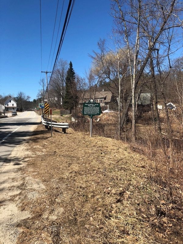
Photographed by Douglas Finney, April 17, 2019
2. Piscataquog River Mill Sites Marker
Looking northerly along N Stark Hwy
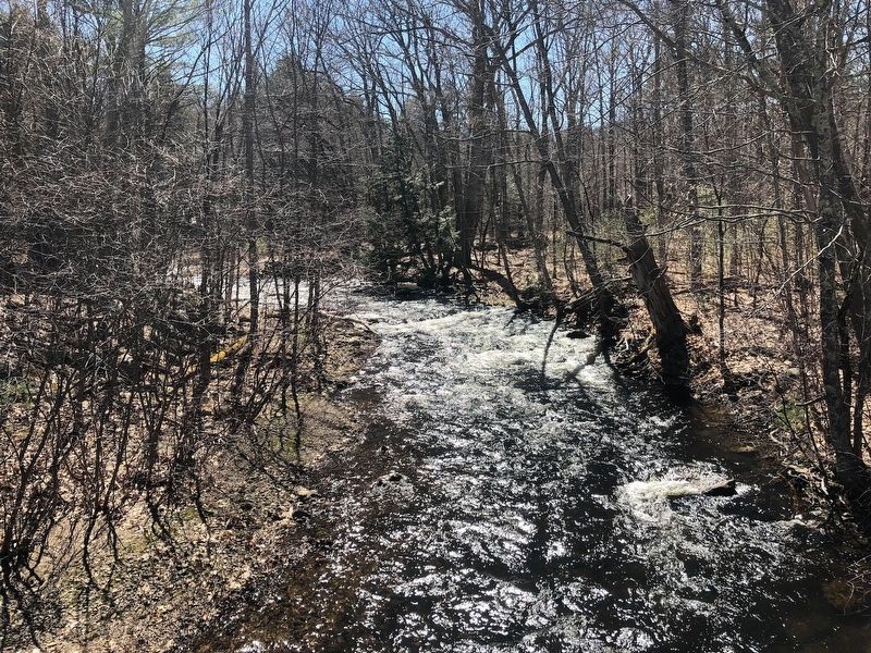
Photographed by Douglas Finney, April 17, 2019
3. Looking upstream at the Piscataquog River
Credits. This page was last revised on April 18, 2019. It was originally submitted on April 17, 2019, by Douglas Finney of Concord, New Hampshire, USA. This page has been viewed 773 times since then and 68 times this year. Photos: 1, 2, 3. submitted on April 17, 2019, by Douglas Finney of Concord, New Hampshire, USA. • Andrew Ruppenstein was the editor who published this page.
