Near Kalya in Megilot Council, West Bank, Palestinian Territories — The Middle East (West Asia)
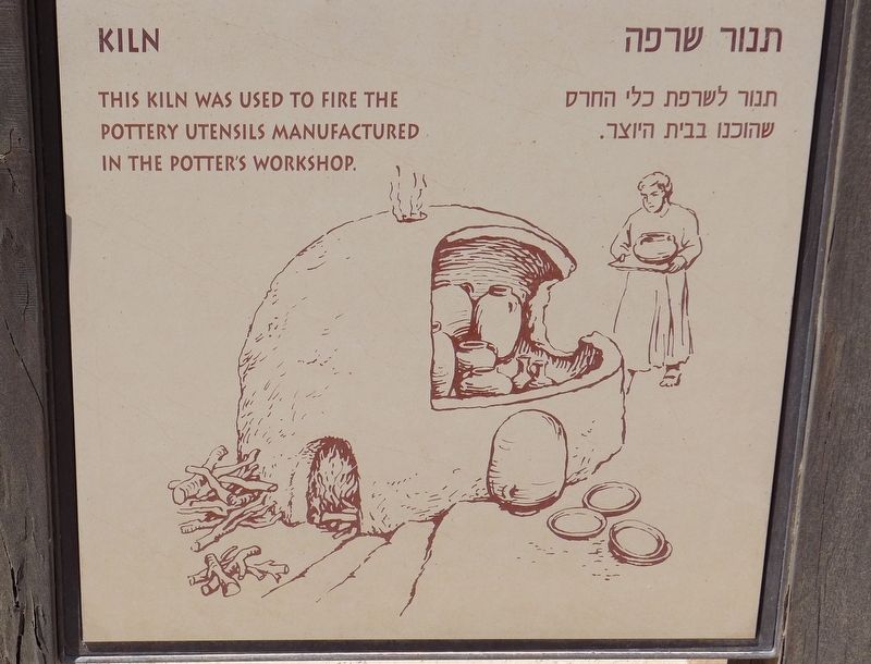
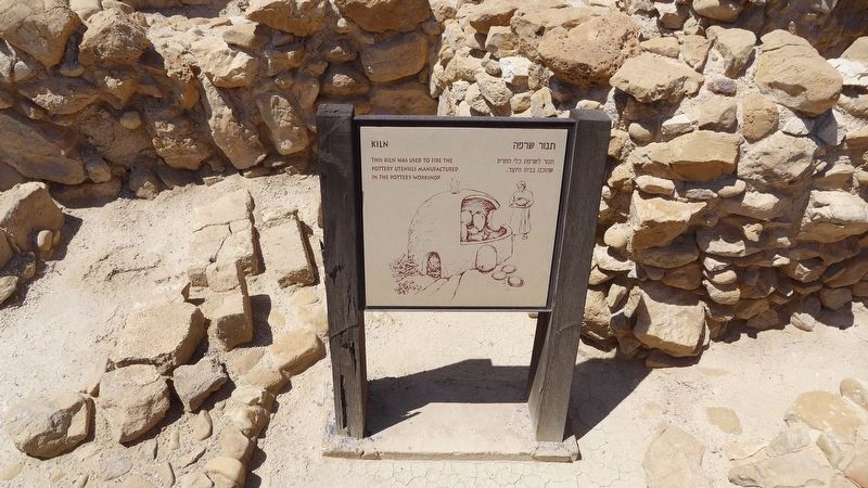
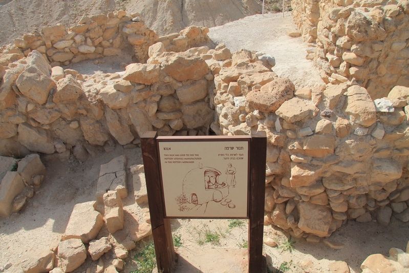
Kiln
Topics. This historical marker is listed in these topic lists: Churches & Religion • Settlements & Settlers.
Location. 31° 44.475′ N, 35° 27.55′ E. Marker is near Kalya, West Bank, in Megilot Council. Marker can be reached from National Route 90, 9 kilometers south of National Route 1, on the right when traveling south. Located near Highway 90 and about 1 kilometer from the western shores of the Dead Sea, in an archaeological site in the West Bank managed by Israel's Qumran National Park. Touch for map. Touch for directions.
Other nearby markers. At least 8 other markers are within walking distance of this marker. The Refectory (here, next to this marker); Pottery Storeroom (here, next to this marker); The Bursar of the Congregation (here, next to this marker); Kitchen (within shouting distance of this marker); Ritual Bath (within shouting distance of this marker); Work Area (within shouting distance of this marker); Qumran / קומראן (within shouting distance of this marker); The Community Rule (within shouting distance of this marker). Touch for a list and map of all markers in Kalya.
More about this marker. In 2019, because I traveled to Israel as part of a tour group, taking pictures of historical markers and recording location information for each marker that I photographed was a difficult assignment. Then too, having two bad knees and walking with a cane made keeping up with my tour group, much less recording location information as well, even more difficult. So I am using my Google Map skills, from at home, to provide the needed location information and map coordinates. Anyone that visits these markers is welcomed, and encouraged, to improve on the provided information.
Credits. This page was last revised on April 18, 2019. It was originally submitted on April 18, 2019, by Dale K. Benington of Toledo, Ohio. This page has been viewed 117 times since then and 7 times this year. Photos: 1, 2, 3, 4. submitted on April 18, 2019, by Dale K. Benington of Toledo, Ohio.


