Purcellville in Loudoun County, Virginia — The American South (Mid-Atlantic)
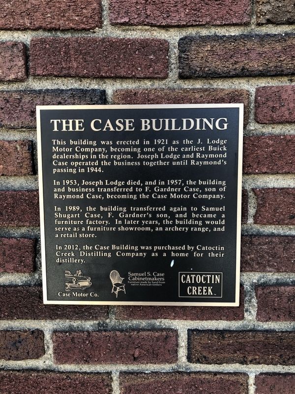
The Case Building
In 1953, Joseph Lodge died, and in 1957, the building and business transferred to F. Gardner Case, son of Raymond Case, becoming the Case Motor Company.
In 1989, the building transferred again to Samuel Shugart Case, F. Garnder's son, and became a furniture factory. In later years, the building would serve as a furniture showroom, an archery range, and a retail store.
In 2012, the Case Building was purchased by Catoctin Creek Distilling Company as a home for their distillery.
Erected by Case Motor Co., Samuel S. Case Cabinetmakers, Catoctin Creek Distilling Company.
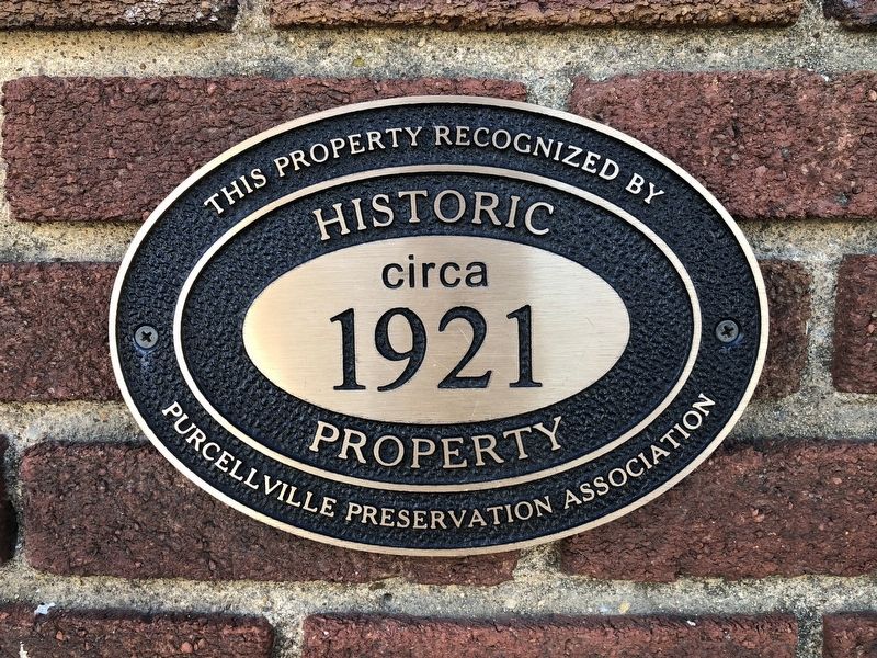
Topics. This historical marker is listed in this topic list: Industry & Commerce. A significant historical year for this entry is 1921.
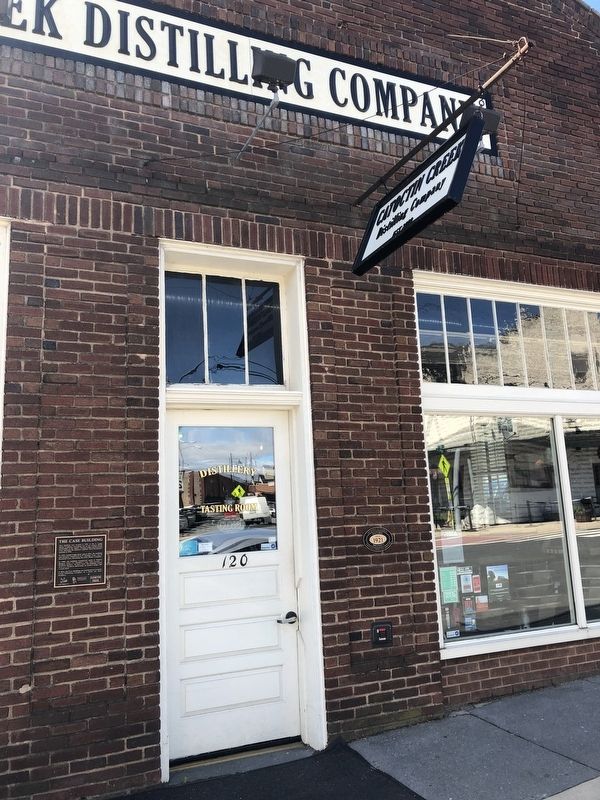
Location. 39° 8.199′ N, 77° 42.9′ W. Marker is in Purcellville, Virginia, in Loudoun County. Marker is at the intersection of West Main Street (Virginia Route 7) and North 21st Street (Virginia Route 1604), on the right when traveling east on West Main Street. Touch for map. Marker is at or near this postal address: 120 West Main Street, Purcellville VA 20132, United States of America. Touch for directions.
Other nearby markers. At least 8 other markers are within walking distance of this marker. Killed in Action Memorial (about 500 feet away, measured in a direct line); Attacked at Purcellville (about 600 feet away); A Little History (about 600 feet away); Washington & Old Dominion Railroad Regional Park (about 700 feet away); Purcellville Station (about 700 feet away); Beyond Purcellville (about 800 feet away); Tracks into History (approx. 0.2 miles away); Loudoun County Emancipation Association Grounds (approx. half a mile away). Touch for a list and map of all markers in Purcellville.
Credits. This page was last revised on April 18, 2019. It was originally submitted on April 18, 2019, by Devry Becker Jones of Washington, District of Columbia. This page has been viewed 317 times since then and 32 times this year. Photos: 1, 2, 3. submitted on April 18, 2019, by Devry Becker Jones of Washington, District of Columbia.


