San Luis Potosí, Mexico — The Northeast (and Central Highlands)
José Nereo Ambrosio Rodríguez Barragán
Photographed by J. Makali Bruton, March 17, 2019
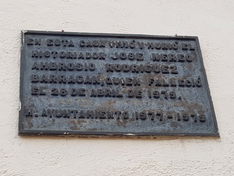
1. José Nereo Ambrosio Rodríguez Barragán Marker

H. Ayuntamiento 1977-1979
In this house lived and died the historian José Nereo Ambrosio Rodríguez Barragán, who died on April 26, 1979.
Honorable City Council of 1977-1979
Erected 1979 by Honorable Ayuntamiento de San Luis Potosí, 1977-1979.
Topics. This historical marker is listed in this topic list: Arts, Letters, Music. A significant historical date for this entry is April 26, 1979.
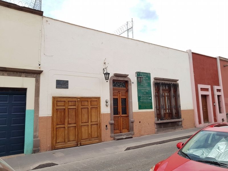
Location. 22° 8.825′ N, 100° 58.595′ W. Marker is in San Luis Potosí. It is on Prolongación Pedro Vallejo just south of Ignacio López Rayón, on the right when traveling south. Touch for map. Marker is at or near this postal address: Prolongación Pedro Vallejo 310, San Luis Potosí 78000, Mexico. Touch for directions.

Regionally, this marker is in Northern Mexico, in the Bajío, and in the Sierra Madre. Globally, it is in North America and the Western Hemisphere. Historically, it finds itself in what was once New Spain and also a Spanish colony.
Other nearby markers. At least 8 other markers are
this page online
Photographed by J. Makali Bruton, March 17, 2019
2. José Nereo Ambrosio Rodríguez Barragán Marker
Credits. This page was last revised on April 19, 2019. It was originally submitted on April 19, 2019, by J. Makali Bruton of Washington, District of Columbia. This page has been viewed 320 times since then and 14 times this year. Photos: 1, 2. submitted on April 19, 2019, by J. Makali Bruton of Washington, District of Columbia.
