Ashkelon, Southern District, Israel — West Asia (the Levant in the Middle East)
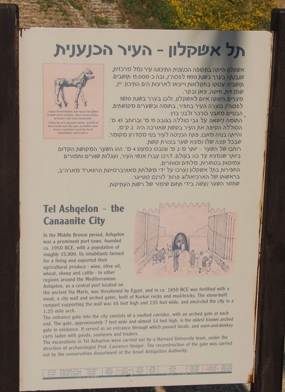
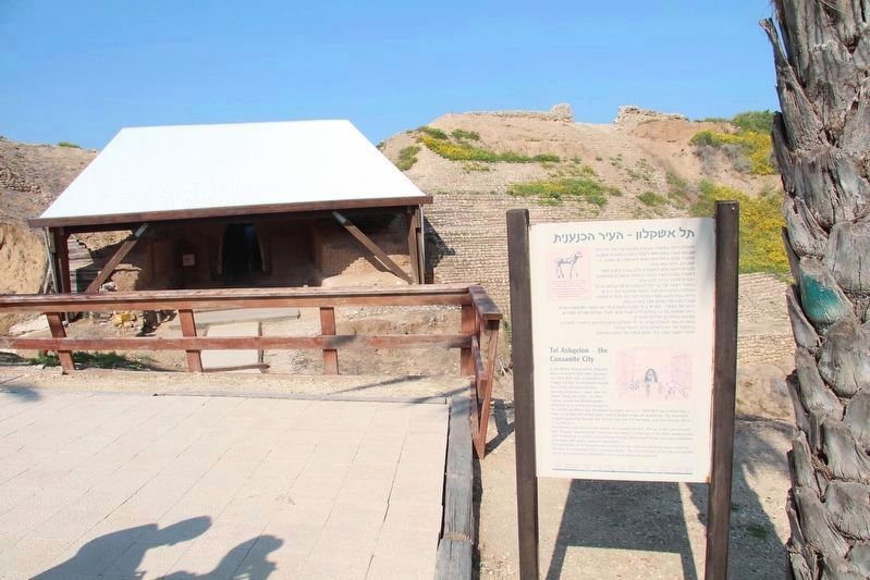
Tel Ashqelon - the Canaanite City
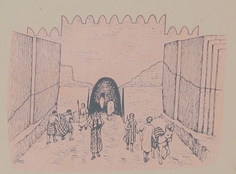
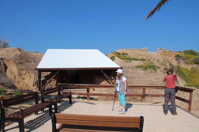
The entrance gate into the city consists of a vaulted corridor, with an arched gate at each end. The gate, approximately 7 feet wide and almost 14 feet high, is the oldest known arched gate in existance. It served as an entrance through which passed locals, and oxen-and-donkey carts laden with goods, seafarers and traders.
The excavations in Tel Ashqelon were carried out by a Harvard University team, under the direction of archaeologist Professor Laurence Steiger. The reconstruction of the gate was carried out by the conservation department of the Israel Antiquities Authority.
Topics. This historical marker is listed in these topic lists: Forts and Castles • Parks & Recreational Areas • Settlements & Settlers.
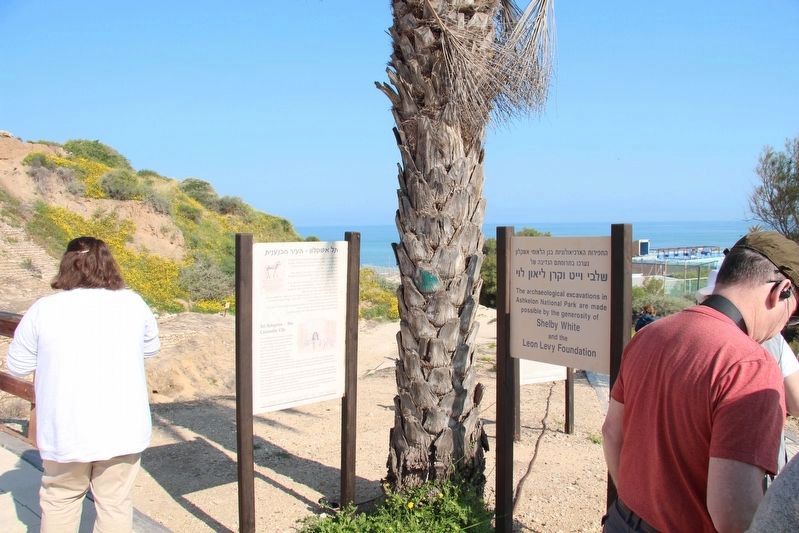
Location. 31° 40.061′ N, 34° 32.952′ E. Marker is in Ashkelon, Southern District. Marker can be reached from T. Ben Amar Street just south of Sderot David Ben Gurion, on the right when traveling south. The marker is located in Ashkelon National Park, along a park walkway, very near the coach bus parking area and to the east of, the Canaanite arched gateway entrance. Touch for map. Touch for directions.
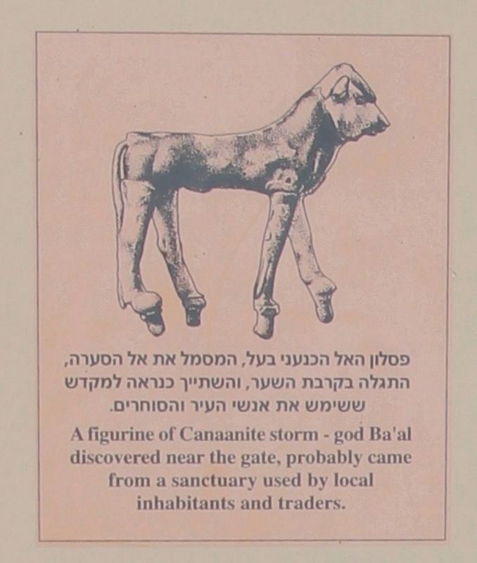
Other nearby markers. At least 6 other markers are within 18 kilometers of this marker, measured as the crow flies. The Canaanite Fortifications of Ashqelon (a few steps from this marker); The Canaanite City Gate (within shouting distance of this marker); The Sanctuary of the Silver Calf (within shouting distance of this marker); Remains of the Muslim City (within shouting distance of this marker); History of Ashqelon (about 90 meters away, measured in a direct line); The Day that Saved Israel (approx. 17.1 kilometers away).
More about this marker. In 2019, because I traveled to Israel as part of a tour group, taking pictures of historical markers and recording location information for each marker that I photographed was a difficult assignment. Then too, having two bad knees and walking with a cane made keeping up with my tour group, much less
recording location information as well, even more difficult. So I am using my Google Map skills, from at home, to provide the needed location information and map coordinates. Anyone that visits these markers is welcomed, and encouraged, to improve on the provided information.
Also see . . .
1. Tel Ashkelon - BibleWalks.com. This is a link to additional information regarding this marker. (Submitted on April 20, 2019, by Dale K. Benington of Toledo, Ohio.)
2. Ashkelon (BiblePlaces.com). This is a link to additional information regarding this marker. (Submitted on April 20, 2019, by Dale K. Benington of Toledo, Ohio.)
3. Ashkelon National Park - Wikipedia. This is a link to additional information regarding this marker. (Submitted on April 20, 2019, by Dale K. Benington of Toledo, Ohio.)
4. Ashkelon & Surroundings - Jewish Virtual Library. This is a link to additional information regarding this marker. (Submitted on April 20, 2019, by Dale K. Benington of Toledo, Ohio.)
Credits. This page was last revised on April 20, 2019. It was originally submitted on April 20, 2019, by Dale K. Benington of Toledo, Ohio. This page has been viewed 142 times since then and 10 times this year. Photos: 1, 2, 3, 4, 5, 6. submitted on April 20, 2019, by Dale K. Benington of Toledo, Ohio.
