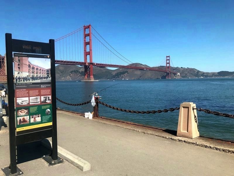
Presidio of San Francisco in San Francisco City and County, California — The American West (Pacific Coastal)
Fort Point National Historic Site
What is Fort Point?
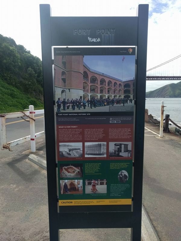
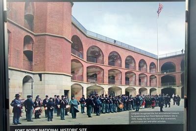
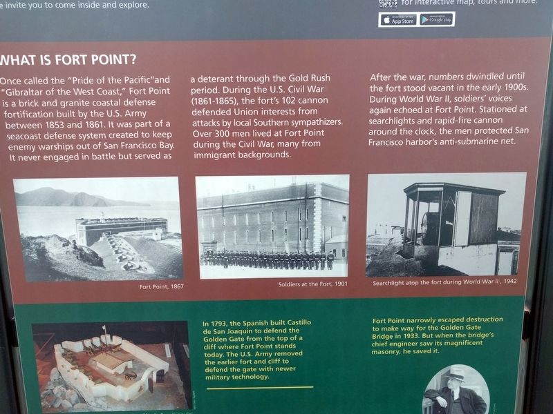
Once called the "Pride of the Pacific" and "Gibraltar of the West Coast," Fort Point is a brick and granite coastal defense fortification built by the U.S. Army between 1853 and 1861. It was part of a seacoast defense system created to keep enemy warships out of San Francisco Bay. It never engaged in battle but served as a deterant through the Gold Rush period. During the U.S. Civil War (1861-1865), the fort's 102 cannon defended Union interests from attacks by local Southern sympathizers. Over 300 men lived at Fort Point during the Civil War, many from immigrant backgrounds.
After the war, numbers dwindled until the fort stood vacant in the early 1900s. During World War II, soldiers' voices again echoed at Fort Point. Stationed at searchlights and rapid-fire cannon around the clock, the men protected San Francisco harbor's anti-submarine net.
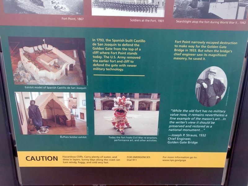
In 1793, the Spanish built Castillo de San Joaquin to defend the Golden Gate from the top of a cliff where Fort Point stands today. The U.S. Army removed the earlier fort and cliff to defend the gate with newer military technology.
Fort Point narrowly escaped destruction to make way for the Golden Gate Bridge in 1933. But when the bridge's chief engineer saw its magnificent masonry, he saved it.
"While the old fort has no military value now, it remains nevertheless a fine example of the mason's art...In the writer's view it should be preserved and restored as a national monument..."
—Joseph P. Strauss, 1932
Chief Engineer, Golden Gate Bridge
Erected by Golden Gate National Recreation Area, National Park Service.
Topics. This historical marker is listed in this topic list: Forts and Castles. A significant historical year for this entry is 1853.
Location. 37° 48.526′ N, 122° 28.313′ W. Marker is in San Francisco, California, in San Francisco City and County. It is in Presidio of San Francisco. Marker is at the intersection of Long Avenue and Marine Drive, on the right when traveling west on Long Avenue. Touch for map. Marker is at or near this postal address: 1989 Long Avenue, San Francisco CA 94129, United States of America. Touch for directions.
Other nearby markers. At least 8 other markers are within walking distance of this marker. Setting A Deadly Obstacle Course (about 400 feet away, measured in a direct line); Crissy Field (about 400 feet away); Resisting the Twisting (about 700 feet away); The Era of Earthworks Batteries (about 700 feet away); The Golden Gate Bridge (approx. 0.2 miles away); Men of Vision (approx. 0.2 miles away); Joseph Strauss Legacy Circle (approx. 0.2 miles away); Types of Bridges (approx. 0.2 miles away). Touch for a list and map of all markers in San Francisco.
