Goliad in Goliad County, Texas — The American South (West South Central)
The Goliad Advance-Guard
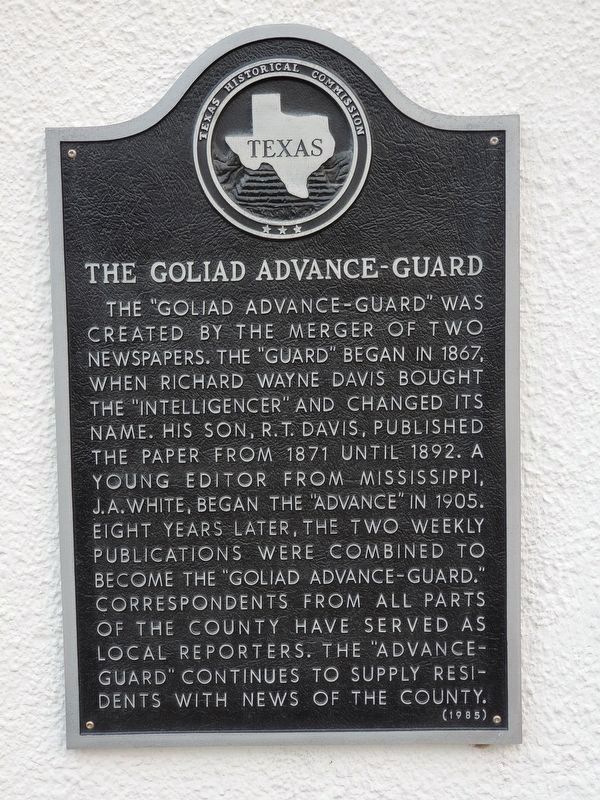
Photographed by Brian Anderson, April 6, 2019
1. The Goliad Advance-Guard Marker
Erected 1985 by Texas Historical Commission. (Marker Number 2202.)
Topics. This historical marker is listed in these topic lists: Communications • Industry & Commerce.
Location. 28° 40.015′ N, 97° 23.566′ W. Marker is in Goliad, Texas, in Goliad County. It is at the intersection of South Commercial Street and East Franklin Street, on the right when traveling south on South Commercial Street. Touch for map. Marker is at or near this postal address: 202 South Commercial Street, Goliad TX 77963, United States
this page online

Regionally, this marker is in South Texas. It is also in the American South. Globally, it is in North America, a Gulf of Mexico state, the Western Hemisphere, the Western World, and the Anglosphere. Historically, it finds itself in what was once New Spain, the Republic of Texas, and one of the Confederate States of America.
Other nearby markers. At least 8 other markers are within walking distance of this marker: Goliad Lodge No. 94 A.F. & A.M. (here, next to this marker); W.A. Pettus Building (within shouting distance of this marker); Goliad Global War Memorial (about 300 feet away, measured in a direct line); Goliad Tornado of 1902 (about 400 feet away); The Hanging Tree (about 400 feet away); Santa Anna's Surrender Ratified (about 400 feet away); Goliad County Courthouse (about 400 feet away); Brooking-Lipscomb-White Home (about 400 feet away). Touch for a list and map of all markers in Goliad.
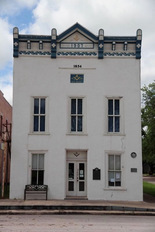
Photographed by Brian Anderson, April 7, 2019
2. The Goliad Advance-Guard Marker
Credits. This page was last revised on April 22, 2019. It was originally submitted on April 22, 2019, by Brian Anderson of New Albany, Ohio. This page has been viewed 602 times since then and 40 times this year. Photos: 1, 2. submitted on April 22, 2019, by Brian Anderson of New Albany, Ohio.
