Near Pipestem in Summers County, West Virginia — The American South (Appalachia)
Mercer County
⎯⎯⎯
Summers County
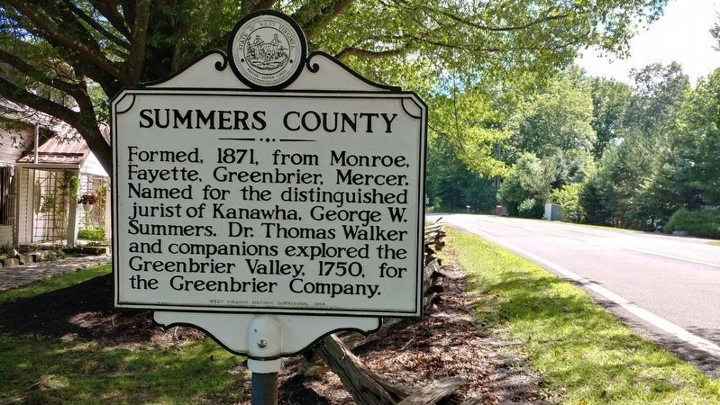
Photographed by Michael C. Wilcox, July 30, 2017
1. Summers County Marker
Erected 1964 by WV Historic Commission.
Topics and series. This historical marker is listed in these topic lists: Exploration • Government & Politics • Industry & Commerce • War, US Revolutionary. In addition, it is included in the West Virginia Archives and History series list. A significant historical year for this entry is 1837.
Location. 37° 30.257′ N, 80° 58.35′ W. Marker is near Pipestem, West Virginia, in Summers County. It is on West Virginia Route 20 ¼ mile north of Mash Fork, on the right when traveling south. Touch for map. Marker is in this post office area: Pipestem WV 25979, United States of
this page online

Regionally, this marker is in the Southern Coalfields. It is also in the American South, specifically in the Upper South, in Appalachia, and specifically in Southern Appalachia. Globally, it is in North America, the Western Hemisphere, the Western World, and the Anglosphere. Historically, it finds itself in what was once the territory of the Mississippian Culture.
Other nearby markers. At least 8 other markers are within 4 miles of this marker, measured as the crow flies: Neely "Plantation" (approx. 0.4 miles away); Pipestem Knob Primitive Baptist Church (approx. 0.7 miles away); Farley's Fort / Thomas Farley (approx. 0.7 miles away); Bluestone River (approx. 2½ miles away); Jordan's Chapel (approx. 2.9 miles away); Bluestone National Scenic River (approx. 3 miles away); a different marker also named Bluestone River (approx. 3.1 miles away); Pipestem Falls (approx. 3.1 miles away). Touch for a list and map of all markers in Pipestem.
Another marker is no longer nearby. Mercer Salt Works (was approx. 0.7 miles away but has been confirmed missing).
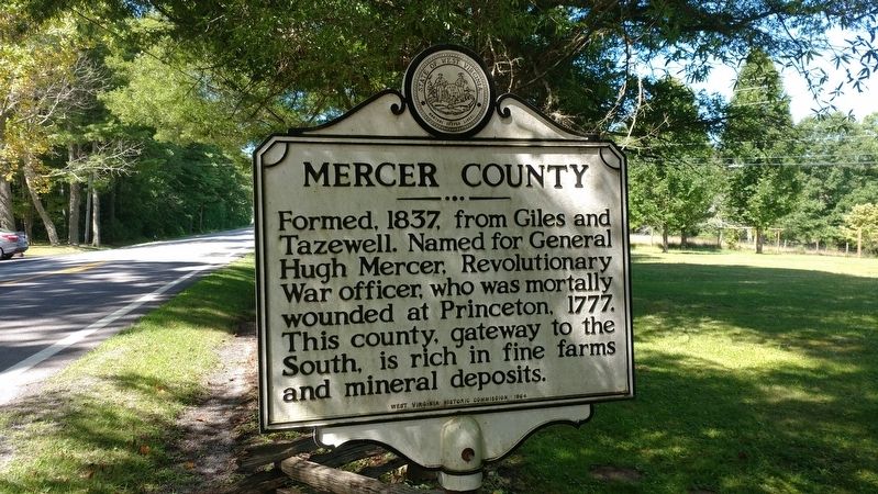
Photographed by Michael C. Wilcox, July 30, 2017
2. Mercer County Marker
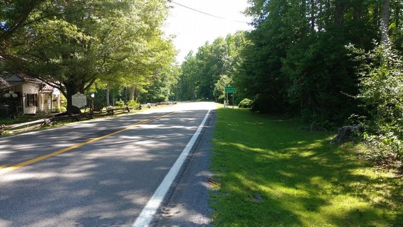
Photographed by Michael C. Wilcox, July 30, 2017
3. Mercer County / Summers County Marker
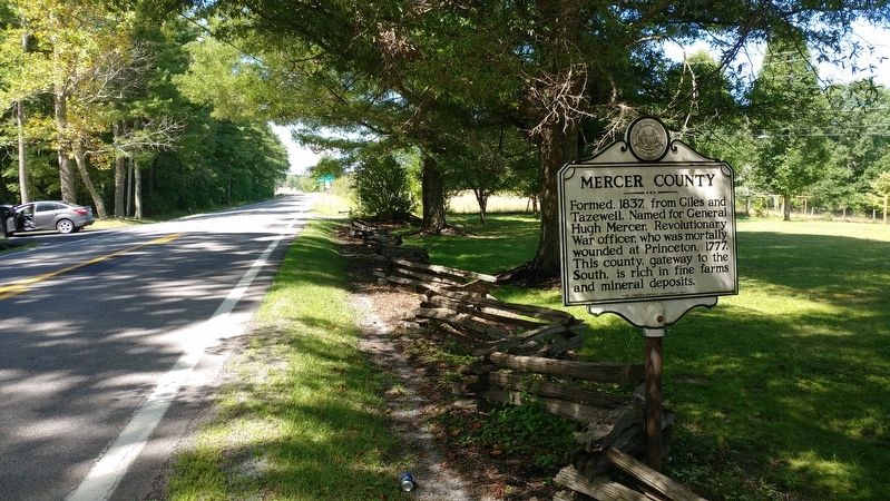
Photographed by Michael C. Wilcox, July 30, 2017
4. Mercer County / Summers County Marker
Credits. This page was last revised on April 22, 2019. It was originally submitted on April 22, 2019, by Michael C. Wilcox of Winston-Salem, North Carolina. This page has been viewed 364 times since then and 30 times this year. Photos: 1, 2, 3, 4. submitted on April 22, 2019, by Michael C. Wilcox of Winston-Salem, North Carolina.
