Near Nogales in Santa Cruz County, Arizona — The American Mountains (Southwest)
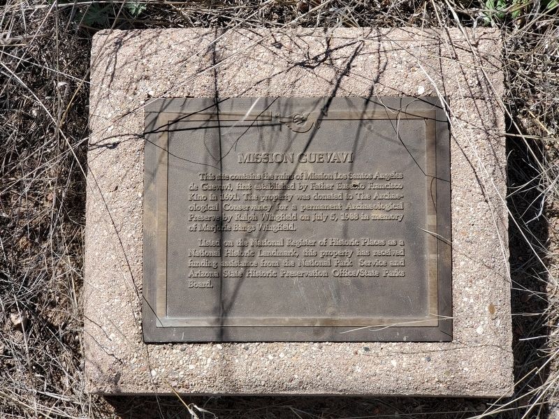
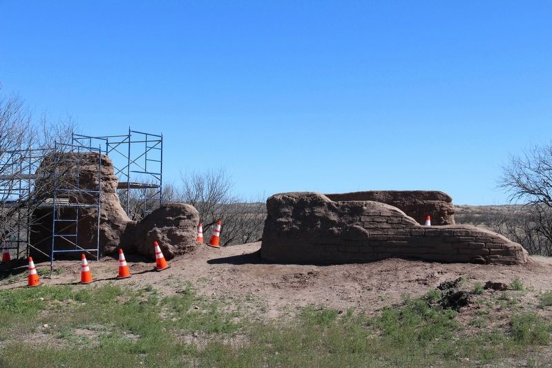
Mission Guevavi
Listed on the National Register of Historic Places as a National Historic Landmark, this property has received funding assistance from the National Park Service and Arizona State Historic Preservation Office/State Parks Board.
Topics. This historical marker is listed in these topic lists: Churches & Religion • Colonial Era. A significant historical year for this entry is 1691.
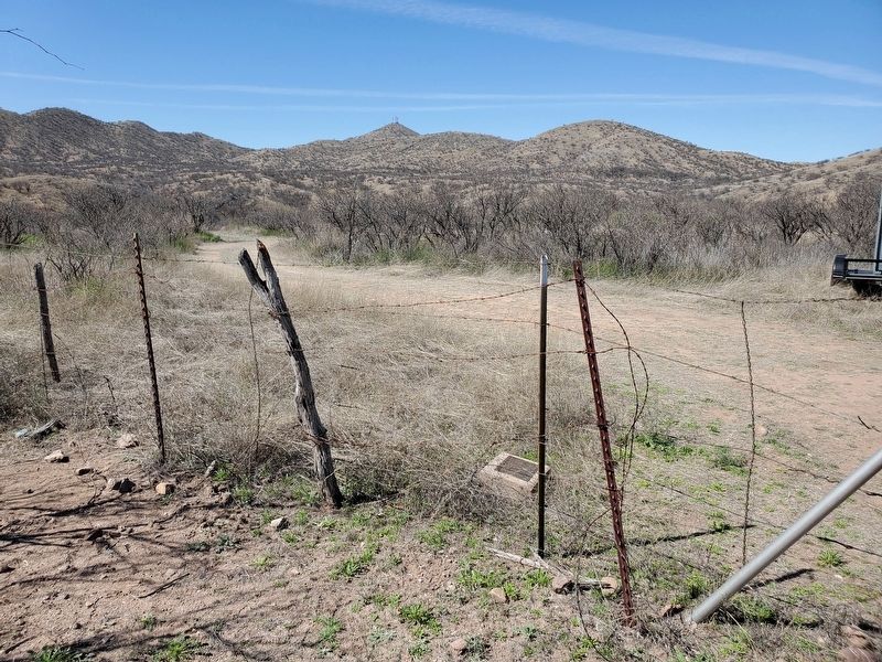
Location. 31° 24.579′ N, 110° 54.052′ W. Marker is near Nogales, Arizona, in Santa Cruz County. Marker can be reached from North River Road, 2.2 miles west of East Patagonia Highway (State Highway 82). Marker is located on the ground next to the entrance gate to the Guevavi sub-unit of Tumacácori National Historical Park. The Guevavi site can only be visited as part of a ranger guided tour. The tours, which, in addition to the Guevavi ruins, also visit the ruins of the Calabazas mission, are offered at various times throughout the year and require a reservation. Touch for map. Marker is in this post office area: Nogales AZ 85621, United States of America. Touch for directions.
Other nearby markers. At least 8 other markers are within 13 miles of this marker, measured as the crow flies. Padre Eusebio Francisco Kino SJ (approx. 4.4 miles away); Grand Ave - Frank Reed School (approx. 4½ miles away); Camp Stephen D. Little (approx. 4.7 miles away); Commemorating Jacob Isaacson (approx. 5.7 miles away); Montezuma Hotel (approx. 5.7 miles away); John Ward's Ranch (approx. 9.3 miles away); Cady Hall (approx. 12.4 miles away); Patagonia Depot (approx. 12.6 miles away). Touch for a list and map of all markers in Nogales.
Also see . . .
1. Kino Heritage Society. (Submitted on December 2, 2019.)
2. NPS: Los Santos Ángeles de Guevavi. (Submitted on December 2, 2019.)
Credits. This page was last revised on December 2, 2019. It was originally submitted on April 24, 2019, by Brian Anderson of Humble, Texas. This page has been viewed 403 times since then and 37 times this year. Photos: 1, 2, 3. submitted on April 24, 2019, by Brian Anderson of Humble, Texas.


