
East St. Louis in St. Clair County, Illinois — The American Midwest (Great Lakes)
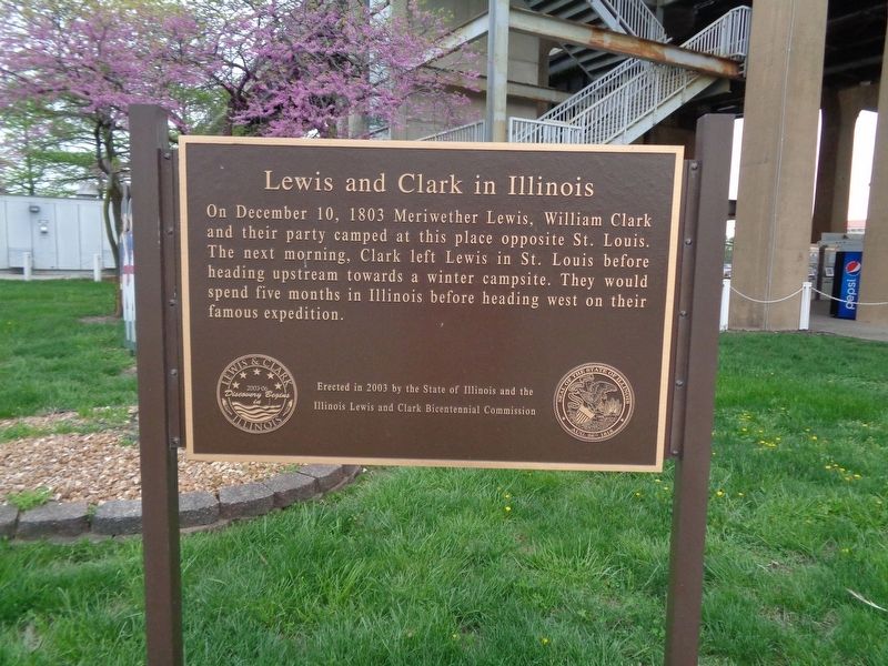
Lewis and Clark in Illinois
Photographed by Jason Voigt, April 23, 2019
1. Lewis and Clark in Illinois Marker
On December 10, 1803 Meriwether Lewis, William Clark and their party camped at this place opposite St. Louis. The next morning, Clark left Lewis in St. Louis before heading upstream towards a winter campsite. They would spend five months in Illinois before heading west on their famous expedition.
Erected 2003 by State of Illinois and the Illinois Lewis and Clark Bicentennial Commission.
Topics and series. This historical marker is listed in this topic list: Exploration. In addition, it is included in the Lewis & Clark Expedition series list. A significant historical date for this entry is December 10, 1803.
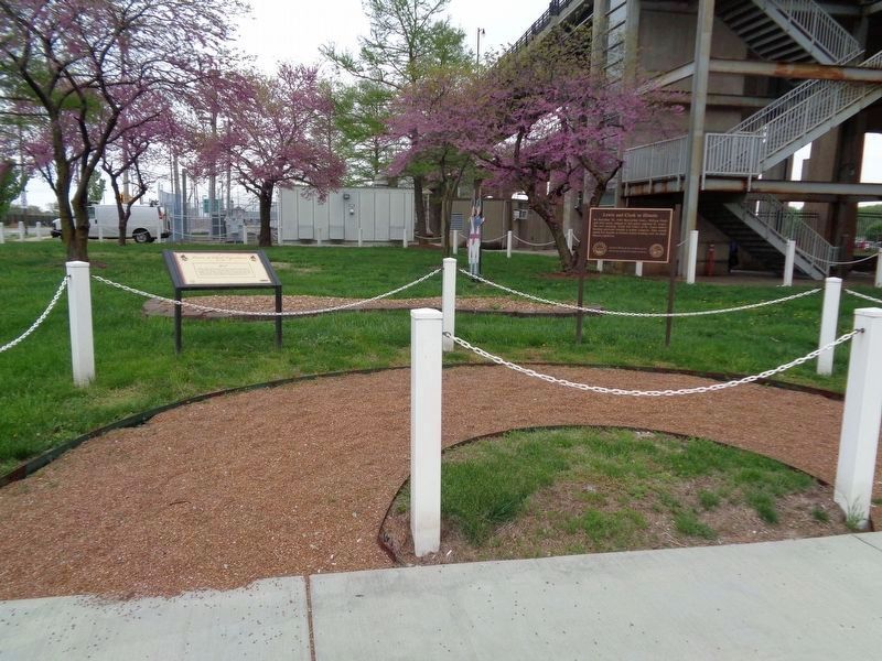
Location. Marker is missing. It was located near 38° 37.723′ N, 90° 10.491′ W. Marker was in East St. Louis, Illinois, in St. Clair County. It was at the intersection of South Front St and Riverpark Drive, on the right when traveling north on South Front St. It was located next to the East Riverfront Metrolink station. Touch for map. Marker was in this post office area: East Saint Louis IL 62201, United States of America. Touch for directions.

Regionally, this marker was in Greater St. Louis. It was also in the American
this page online
Other nearby markers. At least 8 other markers are within walking distance of this location: York (here, next to this marker); Malcolm W. Martin Memorial Park (approx. 0.4 miles away); The James B. Eads Bridge (approx. 0.4 miles away in Missouri); Mississippi River Overlook (approx. 0.4 miles away); About This Place / Black Wealth and Influence (approx. 0.4 miles away in Missouri); The Captains' Return (approx. half a mile away in Missouri); In Memory of Katherine Ward Burg (approx. half a mile away in Missouri); The Eads Bridge (approx. half a mile away in Missouri). Touch for a list and map of all markers in East St. Louis.
Another marker is no longer nearby. Lewis and Clark and St. Louis Riverfront (was approx. 0.4 miles away in Missouri but has been confirmed missing).
Photographed by Jason Voigt, April 23, 2019
2. Lewis and Clark in Illinois Marker
Photographed by Jason Voigt, August 7, 2024
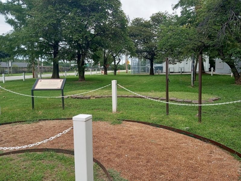
3. Lewis and Clark in Illinois Marker
Marker is now missing.
Credits. This page was last revised on August 25, 2026. It was originally submitted on April 24, 2019, by Jason Voigt of Glen Carbon, Illinois. This page has been viewed 489 times since then and 17 times this year. Photos: 1, 2. submitted on April 24, 2019, by Jason Voigt of Glen Carbon, Illinois. 3. submitted on August 8, 2024, by Jason Voigt of Glen Carbon, Illinois. • Bill Pfingsten was the editor who published this page.
