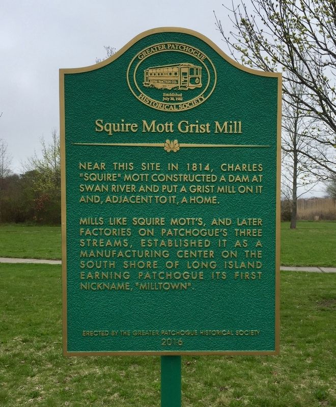
Squire Mott Grist Mill
Mills like Squire Mott's, and later
factories on Patchogue's three
streams, established it as a
manufacturing center on the
south shore of Long Island earning
Patchogue its first nickname, "Milltown".
Erected 2016 by Greater Patchogue Historical Society.
Topics. This historical marker is listed in this topic list: Industry & Commerce. A significant historical year for this entry is 1814.
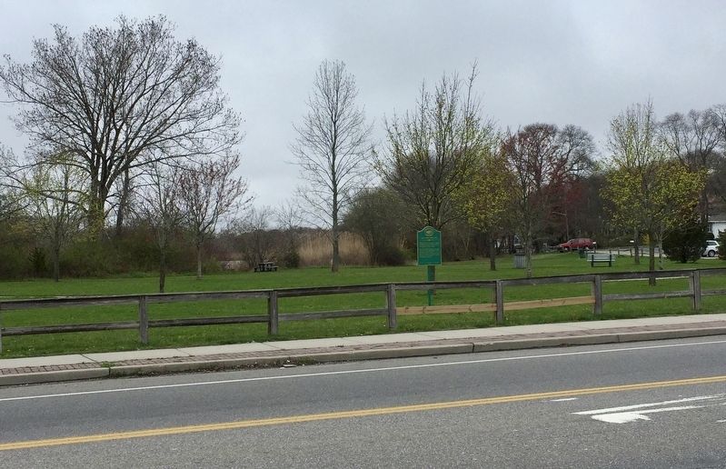
Location. 40° 46.066′ N, 72° 59.588′ W. Marker is in East Patchogue, New York, in Suffolk County. Marker is at the intersection of Montauk Highway (New York State Route 27A) and South Country Road, on the right when traveling west on Montauk Highway. Touch for map. Marker is in this post office area: Patchogue NY 11772, United States of America. Touch for directions.
Other nearby markers. At least 8 other markers are within 2 miles of this marker, measured as the crow flies. The Avery Homestead (about 800 feet away, measured in a direct line); Capt. Austin Roe (approx. 1.1 miles away); Citizen Soldier (approx. 1.1 miles away); Paul the Tailor Building (approx. 1.1 miles away); The Lace Mill (approx. 1.4 miles away); VFW Post 8300 War Memorial (approx.
Credits. This page was last revised on April 26, 2019. It was originally submitted on April 24, 2019, by Andrew Ruppenstein of Lamorinda, California. This page has been viewed 347 times since then and 24 times this year. Photos: 1, 2. submitted on April 26, 2019, by Andrew Ruppenstein of Lamorinda, California.

