San Luis Potosí, Mexico — The Northeast (and Central Highlands)
La Cubana
Photographed by J. Makali Bruton, March 17, 2019
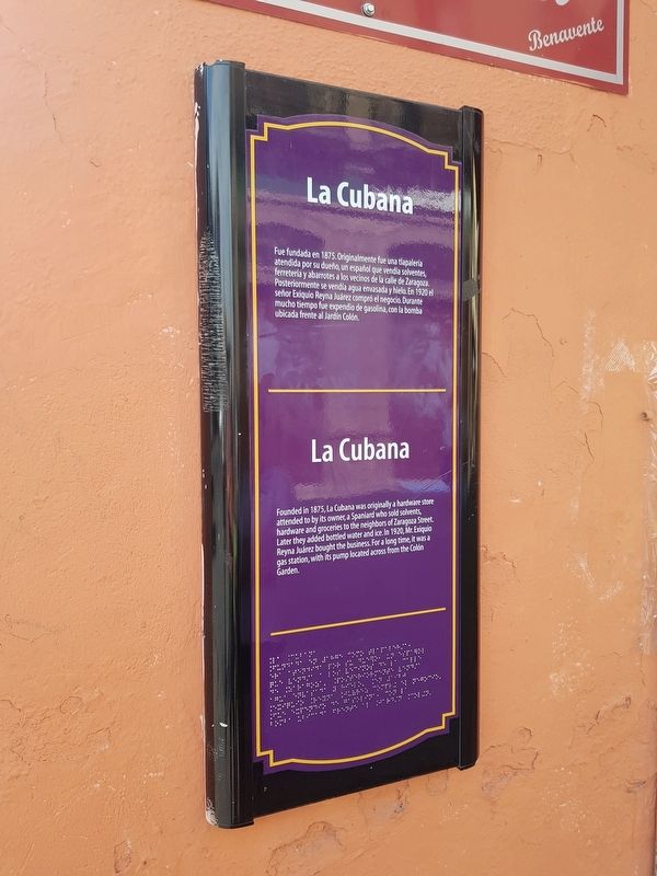
1. La Cubana Marker

Fue fundada en 1875. Originalmente fue una tlapalería atendida por su dueño, un español que vendía solventes, ferretería y abarrotes a los vecinos de la calle de Zaragoza. Posteriormente se vendía agua envasada y hielo. En 1920 el señor Exiquio Reyna Juárez compró el negocio. Durante mucho tiempo fue expendio de gasolina, con la bomba ubicada frente al Jardín Colón.
La Cubana
Founded in 1875, La Cubana was originally a hardware store attended to by its owner, a Spaniard who sold solvents, hardware and groceries to the neighbors of Zaragoza Street. Later they added bottled water and ice. In 1920, Mr. Exiquio Reyna Juárez bought the business. For a long time it was a gas station, with its pump located across from the Colón Garden.
Topics. This historical marker is listed in this topic list: Industry & Commerce. A significant historical year for this entry is 1875.
Location. 22° 8.826′ N, 100° 58.493′ W. Marker is in San Luis Potosí. It is on Ignacio Zaragoza just north of Pascual M. Hernández, on the left when traveling north. Zaragoza is pedestrian-only on this block. Touch for map. Marker is in this
this page online

Regionally, this marker is in Northern Mexico, in the Bajío, and in the Sierra Madre. Globally, it is in North America and the Western Hemisphere. Historically, it finds itself in what was once New Spain and also a Spanish colony.
Other nearby markers. At least 8 other markers are within walking distance of this marker: Colón Garden (within shouting distance of this marker); The 100th Anniversary of Mexican Independence (within shouting distance of this marker); Guadalupe Road (about 120 meters away, measured in a direct line); José Nereo Ambrosio Rodríguez Barragán (about 180 meters away); Water Reservoir (about 180 meters away); José Mariano Jiménez (about 180 meters away); Ramón López Velarde (about 180 meters away); Alarcón Theater (about 180 meters away). Touch for a list and map of all markers in San Luis Potosí.
Photographed by J. Makali Bruton, March 17, 2019
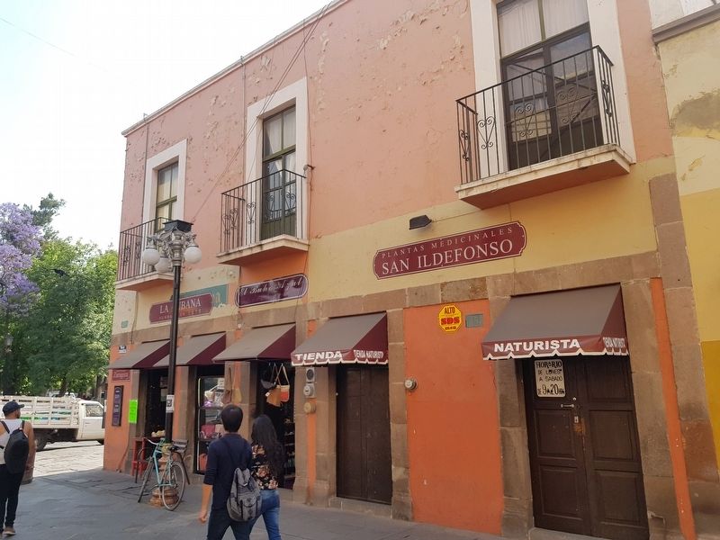
2. La Cubana and Marker
The marker is at the far left on the facade of the La Cubana building.
Credits. This page was last revised on October 13, 2024. It was originally submitted on April 26, 2019, by J. Makali Bruton of Washington, District of Columbia. This page has been viewed 265 times since then and 16 times this year. Photos: 1, 2. submitted on April 26, 2019, by J. Makali Bruton of Washington, District of Columbia.
