Meridian Hills/Williams Creek in Indianapolis in Marion County, Indiana — The American Midwest (Great Lakes)
Town of Meridian Hills
Sherwood Village Neighborhood
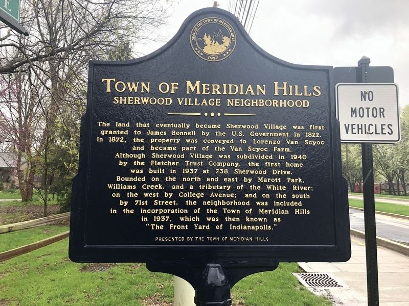
Erected by The Town of Meridian Hills.
Topics. This historical marker is listed in these topic lists: Notable Places • Settlements & Settlers. A significant historical year for this entry is 1822.
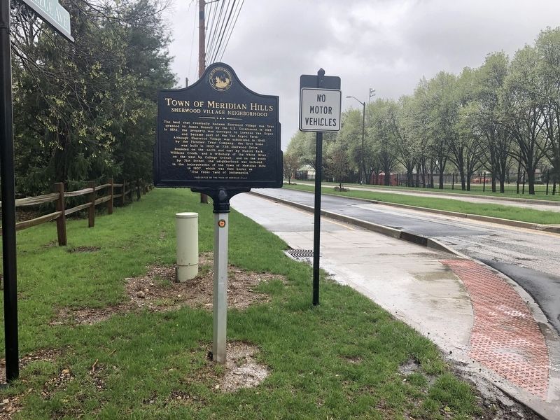
Location. 39° 53.059′ N, 86° 8.742′ W. Marker is in Indianapolis, Indiana, in Marion County. It is in Meridian Hills/Williams Creek. It is at the intersection of Sherwood Drive and North College Avenue, on the left when traveling west on Sherwood Drive. Touch for map. Marker
this page online

Regionally, this marker is in Central Indiana. It is also in the American Midwest and in the Corn Belt. Globally, it is in North America, the Western Hemisphere, the Western World, and the Anglosphere. Historically, it finds itself in what was once the territory of the Mississippian Culture and also the Northwest Territory.
Other nearby markers. At least 8 other markers are within 4 miles of this marker, measured as the crow flies: Indiana School for the Blind (approx. ¾ mile away); a different marker also named Town of Meridian Hills (approx. 1.1 miles away); North Meridian Street Historic District (approx. 2 miles away); The Central Canal (approx. 2.1 miles away); Hinkle Fieldhouse (approx. 3.1 miles away); Central Canal & Towpath (approx. 3.2 miles away); Oliver Johnson House (approx. 3.3 miles away); Booth Tarkington (approx. 3.6 miles away). Touch for a list and map of all markers in Indianapolis.
Credits. This page was last revised on February 4, 2023. It was originally submitted on April 27, 2019, by Devry Becker Jones of Washington, District of Columbia. This page has been viewed 516 times since then and 26 times this year. Photos: 1, 2. submitted on April 27, 2019, by Devry Becker Jones of Washington, District of Columbia.
