East St. Louis in St. Clair County, Illinois — The American Midwest (Great Lakes)
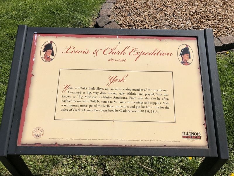
York
Lewis & Clark Expedition
— 1803-1806 —
Erected 2003 by The Illinois Lewis and Clark Bicentennial Commission.
Topics and series. This historical marker is listed in these topic lists: African Americans • Exploration • Waterways & Vessels. In addition, it is included in the Lewis & Clark Expedition series list. A significant historical year for this entry is 1811.
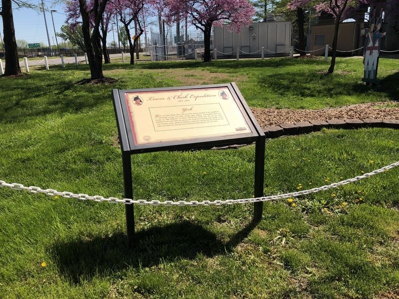
Location. 38° 37.731′ N, 90° 10.492′ W. Marker is in East St. Louis, Illinois, in St. Clair County. Marker is at the intersection of South Front Street and Riverpark Drive, on the right when traveling north on South Front Street. Touch for map. Marker is at or near this postal address: 724 East Broadway, East Saint Louis IL 62201, United States of America. Touch for directions.
Other nearby markers. At least 8 other markers are within walking distance of this marker. Lewis and Clark in Illinois (here, next to this marker); Malcolm W. Martin Memorial Park (approx. 0.4 miles away); The James B. Eads Bridge (approx. 0.4 miles away in Missouri); Mississippi River Overlook (approx. half a mile away); In Memory of Katherine Ward Burg (approx. half a mile away in Missouri); The Captains' Return (approx. half a mile away in Missouri); Rue Royale (approx. half a mile away in Missouri); Old Missouri Hotel (approx. half a mile away in Missouri). Touch for a list and map of all markers in East St. Louis.
Also see . . . An enslaved man was crucial to the Lewis and Clark expedition’s success. Washington Post article about York (Submitted on January 14, 2020, by Devry Becker Jones of Washington, District of Columbia.)
Credits. This page was last revised on January 14, 2020. It was originally submitted on April 27, 2019, by Devry Becker Jones of Washington, District of Columbia. This page has been viewed 180 times since then and 17 times this year. Photos: 1, 2. submitted on April 27, 2019, by Devry Becker Jones of Washington, District of Columbia.

