
National Museum of Transportation near Kirkwood in St. Louis County, Missouri — The American Midwest (Upper Plains)
Douglas Aircraft C-47A Transport
It's plane to see why this is a Museum favorite!
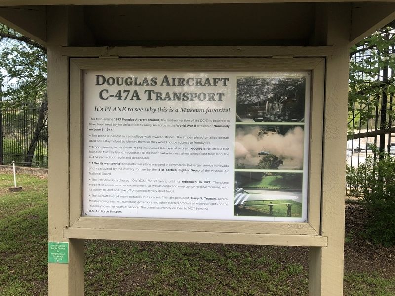
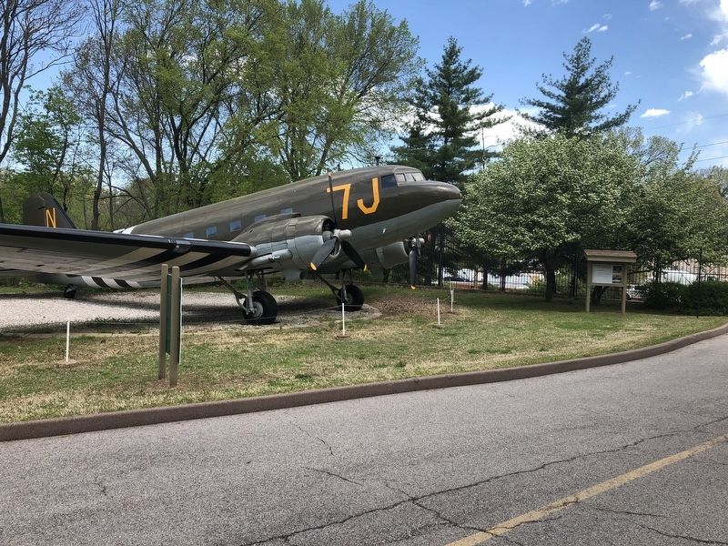
This twin-engine 1943 Douglas Aircraft product, the military version of the DC-3, is believed to have been used by the United States Army Air Force in the World War II invasion of Normandy on June 6, 1944.
• The plane is painted in camouflage with invasion stripes. The stripes placed on allied aircraft used to D-Day helped to identify them so they would not be subject to friendly fire.
• Troops serving in the South Pacific nicknamed this type of aircraft "Gooney Bird" after a bird found on Midway Island. In contrast to the birds' awkwardness when taking flight from land, the C-47A proved both agile and dependable.
• After its war service, this particular plane was used in commercial passenger service in Nevada until reacquired by military for use by the 131st Tactical Fighter Group of the Missouri Air National Guard.
• The National Guard used "Old 635" for 22 years, until its retirement in 1972. The plane supported annual summer encampment, as well as cargo and emergency medical missions, with its ability to land and take off on comparatively short fields.
• The aircraft hosted many notables in its career.
this page online
Erected by Museum of Transportation.
Topics and series. This historical marker is listed in these topic lists: Air & Space • War, World II. In addition, it is included in the Former U.S. Presidents: #33 Harry S. Truman series list. A significant historical date for this entry is June 6, 1944.
Location. 38° 34.364′ N, 90° 27.683′ W. Marker is near Kirkwood, Missouri, in St. Louis County. It is in National Museum of Transportation. It can be reached from Barrett Station Road east of Old Dougherty Ferry Road, on the right when traveling east. Touch for map. Marker is at or near this postal address: 2933 Barrett Station Road, Saint Louis MO 63122, United States of America. Touch for directions.

Regionally, this marker is in Greater St. Louis. It is also in the American Midwest, in the Lewis & Clark Corridor, in the Corn Belt, and in the Great River Road Region. Globally, it is in North
Other nearby markers. At least 8 other markers are within walking distance of this marker: Douglas Aircraft C-47A (a few steps from this marker); The H.T. Pott Towboat (within shouting distance of this marker); Laclede Christy #2 (within shouting distance of this marker); Laclede-Christy Clau Products Company #2 (within shouting distance of this marker); Union Pacific #900081 (within shouting distance of this marker); Union Pacific #6944 (within shouting distance of this marker); Union Pacific "Big Boy" #4006 (within shouting distance of this marker); St. Louis Southwestern Maintenance of Way #95589 (within shouting distance of this marker). Touch for a list and map of all markers in Kirkwood.
Another marker is no longer nearby. Tow Boat H.T. Pott (was within shouting distance of this marker but has been replaced with another marker now near it).
Credits. This page was last revised on November 24, 2025. It was originally submitted on April 27, 2019, by Devry Becker Jones of Washington, District of Columbia. This page has been viewed 263 times since then and 16 times this year. Photos: 1, 2. submitted on April 27, 2019, by Devry Becker Jones of Washington, District of Columbia.
