National Museum of Transportation near Kirkwood in St. Louis County, Missouri — The American Midwest (Upper Plains)
Georgia Railroad #724
—
1896
—
Photographed by Devry Becker Jones (CC0), April 22, 2019
1. Georgia Railroad #724 Marker
Inscription.
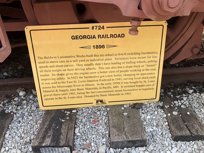
The Baldwin Locomotive Works built this six-wheel or 0-6-0 switching locomotive used to move cars in a rail yard or industrial plant. Switchers were meant for low speeds and sharp curves. They usually didn't have leading or trailing wheels, putting all their weight on their driving wheels. This one also has a slope-back or "fantail" tender. Its shape give the engine crew a better view of people working at the rear, improving safety. In 1923 the locomotive got a new boiler, changing its appearance. It was sold to the East St. Louis Junction Railroad in 1941, serving local stockyards across the Mississippi River in Illinois. In the early 1950s it was bought by St. Louis Material & Supply, later Basic Materials, in Pacific, MO. It switched hopper cars of gravel there until 1963, being the last conventional steam locomotive to regularly operate in the St. Louis area. Donated by Basic Materials in 1963.
Erected 2014 by Museum of Transportation.
Topics. This historical marker is listed in this topic list: Railroads & Streetcars. A significant historical year for this entry is 1896.
Location. 38° 34.263′ N, 90° 27.805′ W. Marker
Click or scan to see this page online
is near Kirkwood, Missouri, in St. Louis County. It is in National Museum of Transportation. It can be reached from Barrett Station Road east of Old Dougherty Ferry Road, on the right when traveling east. Touch for map. Marker is at or near this postal address: 3015 Barrett Station Road, Saint Louis MO 63122, United States of America. Touch for directions.
Regionally, this marker is in Greater St. Louis. It is also in the American Midwest, in the Lewis & Clark Corridor, in the Corn Belt, and in the Great River Road Region. Globally, it is in North America, the Western Hemisphere, the Western World, and the Anglosphere. Historically, it finds itself in what was once the Viceroyalty of New France, the territory of the Mississippian Culture, the Louisiana Purchase, and the Antebellum South.
Photographed by Devry Becker Jones (CC0), April 22, 2019
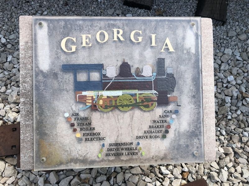
3. Additional sign nearby
Photographed by Devry Becker Jones (CC0), April 22, 2019
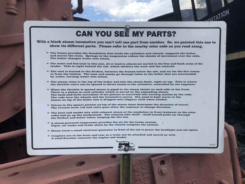
4. Additional sign nearby
Credits. This page was last revised on June 1, 2026. It was originally submitted on April 28, 2019, by Devry Becker Jones of Washington, District of Columbia. This page has been viewed 384 times since then and 38 times this year. Photos:1, 2, 3, 4. submitted on April 28, 2019, by Devry Becker Jones of Washington, District of Columbia.