Zachary in East Baton Rouge Parish, Louisiana — The American South (West South Central)
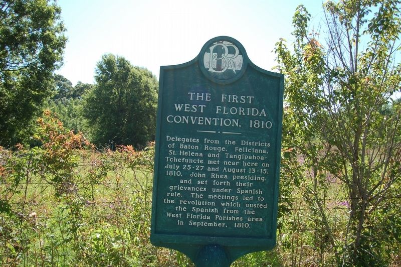
The First West Florida Convention, 1810
Delegates from the Districts of Baton Rouge, Feliciana, St. Helena and Tangipahoa-Tchefuncte met near here on July 25-27 and August 13-15, 1810, John Rhea presiding, and set forth their grievances under Spanish rule. The meeting led to the revolution which ousted the Spanish from the West Florida Parishes area in September, 1810.
Erected by Baton Rouge City-Parish.
Topics. This historical marker is listed in these topic lists: Colonial Era • Political Subdivisions.
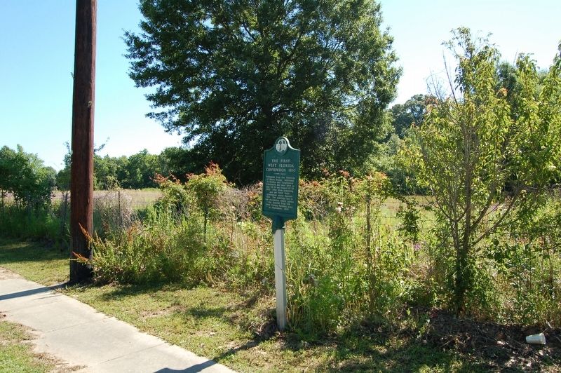
Location. 30° 39.487′ N, 91° 11.554′ W. Marker is in Zachary, Louisiana, in East Baton Rouge Parish. Marker is on Old Scenic Highway (State Highway 964) north of Church Street (Highway 64), on the right when traveling north. Touch for map. Marker is in this post office area: Zachary LA 70791, United States of America. Touch for directions.
Other nearby markers. At least 8 other markers are within 5 miles of this marker, measured as the crow flies. Port Hudson Siege (approx. ¼ mile away); William Bartram Trail (approx. 2.4 miles away); Battle of the Plains Store (approx. 2.4 miles away); Town of Zachary (approx. 2.6 miles away); Purple Heart Memorial (approx. 4.7 miles away); Heroes Of The War On Terrorism (approx. 4.8 miles away); Town Of Baker (approx. 4.8 miles away); Port Hudson National Cemetery (approx. 4.9 miles away). Touch for a list and map of all markers in Zachary.
Credits. This page was last revised on December 27, 2023. It was originally submitted on April 28, 2019, by Cajun Scrambler of Assumption, Louisiana. This page has been viewed 204 times since then and 15 times this year. Photos: 1, 2. submitted on April 28, 2019.

