Sedona in Coconino County, Arizona — The American Mountains (Southwest)
The Sinagua
Historic Sedona
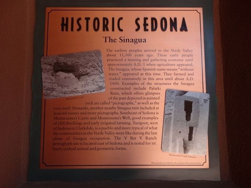
Photographed by Denise Boose, April 26, 2019
1. Historic Sedona Marker
Erected by Sedona Historical Society.
Topics. This historical marker is listed in these topic lists:
this page online
Location. 34° 52.079′ N, 111° 45.741′ W. Marker is in Sedona, Arizona, in Coconino County. It can be reached from State Highway 89A. Located along the walls within the outdoor mall called The Shops at Pinon Pointe. Near the Wildflower Bread Company (A2-3). Touch for map. Marker is at or near this postal address: 101 N Hwy 89A, Sedona AZ 86336, United States of America. Touch for directions.

Regionally, this marker is in Verde Valley and in Hopi. It is also in the American Southwest, in the Mountain West, and at the Four Corners. Globally, it is in North America, the Western Hemisphere, the Western World, and the Anglosphere. Historically, it finds itself in what was once New Spain and also Mexico’s Alta California.
Other nearby markers. At least 8 other markers are within walking distance of this marker: Grasshopper Flat (here, next to this marker); First Settlers (within shouting distance of this marker); Roads (within shouting distance of this marker); Sedona Fire & Police Departments (within shouting distance
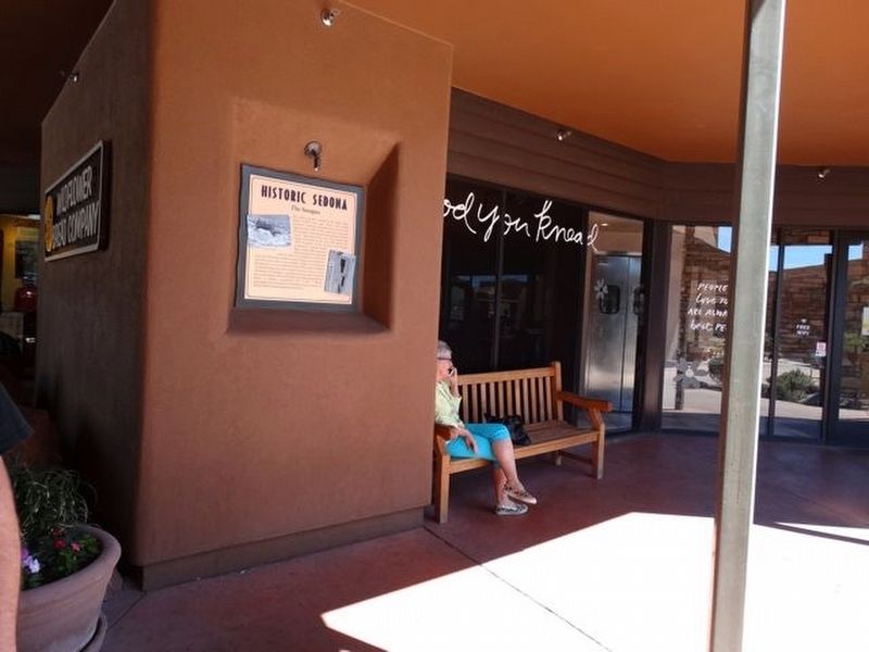
Photographed by Denise Boose, April 26, 2019
2. Historic Sedona Marker
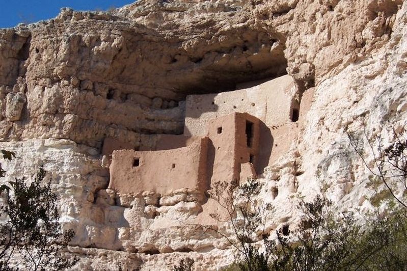
Photographed by Denise Boose, November 11, 2007
3. Historic Sedona Marker
Montezuma's Castle
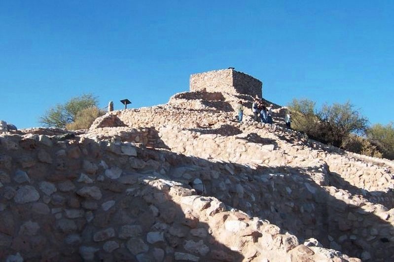
Photographed by Denise Boose, November 11, 2007
4. Historic Sedona Marker
Tuzigoot Pueblo
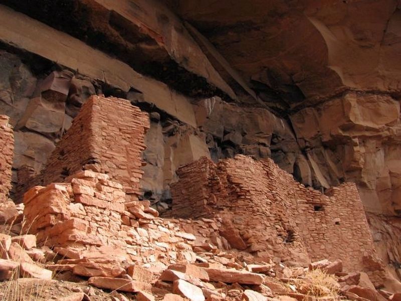
Photographed by Denise Boose, November 3, 2006
5. Historic Sedona Marker
Honanki Pueblo
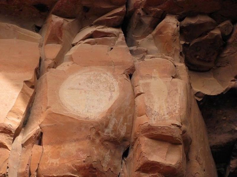
Photographed by Denise Boose, November 3, 2006
6. Historic Sedona Marker
Honanki Petroglyphs. Some of the bodies are drawn with large bellies, its believed the people were malnourished.
Credits. This page was last revised on August 18, 2019. It was originally submitted on April 28, 2019, by Denise Boose of Tehachapi, California. This page has been viewed 713 times since then and 57 times this year. Photos: 1, 2, 3, 4, 5, 6. submitted on April 28, 2019, by Denise Boose of Tehachapi, California. • Andrew Ruppenstein was the editor who published this page.
