Near Ballwin in St. Louis County, Missouri — The American Midwest (Upper Plains)
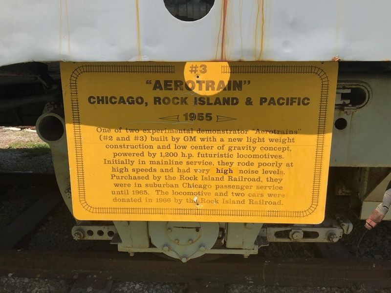
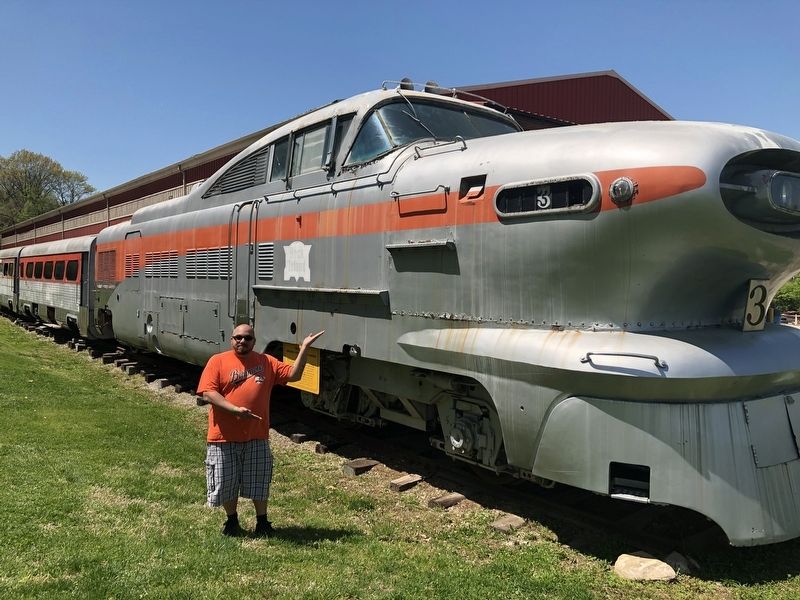
#3 "Aerotrain"
Chicago, Rock Island & Pacific
| — | 1955 | — |
Erected by Museum of Transportation.
Topics and series. This historical marker is listed in this topic list: Railroads & Streetcars. In addition, it is included in the Chicago Rock Island & Pacific Railway series list. A significant historical year for this entry is 1955.
Location. 38° 34.384′ N, 90° 27.888′ W. Marker is near Ballwin, Missouri, in St. Louis County. It can be reached from Barrett Station Road east of Old Dougherty Ferry Road, on the right when traveling east. Touch for map. Marker is at or near this postal address: 2933 Barrett Station Road, Ballwin MO 63021, United States of America. Touch for directions.

Regionally, this marker is in Greater
this page online
Other nearby markers. At least 8 other markers are within walking distance of this marker: Road Rollers (within shouting distance of this marker); #J13218 (within shouting distance of this marker); F/A-18 E1 Super Hornet (within shouting distance of this marker); F/A-18 E/F Super Hornet (within shouting distance of this marker); St. Joe Minerals Corporation Shovel (about 300 feet away, measured in a direct line); St. Joe Mining Corporation Ore Train #5441 (about 300 feet away); Who Is Owney The Dog? (about 400 feet away); Museum of Transportation - A Layout of the Land (about 500 feet away).
Credits. This page was last revised on April 28, 2019. It was originally submitted on April 28, 2019, by Devry Becker Jones of Washington, District of Columbia. This page has been viewed 402 times since then and 39 times this year. Photos: 1, 2. submitted on April 28, 2019, by Devry Becker Jones of Washington, District of Columbia.
