Auburn in Cayuga County, New York — The American Northeast (Mid-Atlantic)
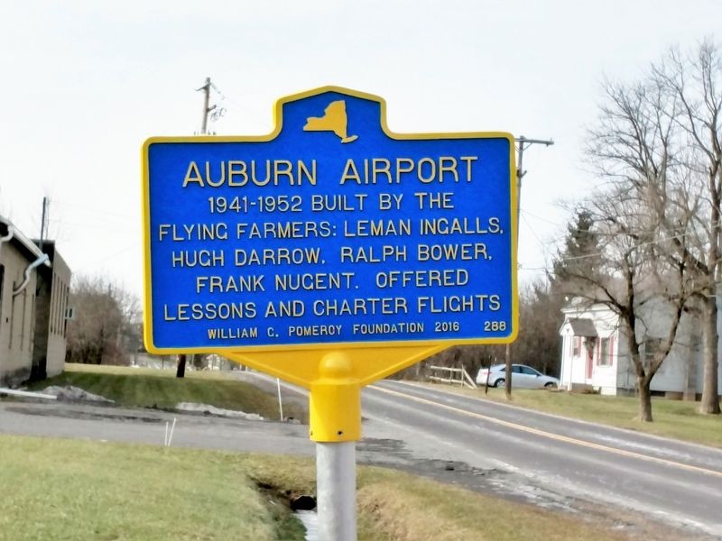
Auburn Airport
Erected 2016 by William G. Pomeroy Foundation. (Marker Number 288.)
Topics and series. This historical marker is listed in this topic list: Air & Space. In addition, it is included in the William G. Pomeroy Foundation series list.
Location. 42° 58.094′ N, 76° 36.178′ W. Marker is in Auburn, New York, in Cayuga County. Marker is at the intersection of North Division Street and Beech Tree Road on North Division Street. Touch for map. Marker is in this post office area: Auburn NY 13021, United States of America. Touch for directions.
Other nearby markers. At least 8 other markers are within 3 miles of this marker, measured as the crow flies. Town of Throop (approx. ¼ mile away); Throop Industry (approx. 0.3 miles away); Home of Gen. John S. Clark (approx. 1½ miles away); Cold Spring Cemetery (approx. 1.6 miles away); North Street Cemetery (approx. 2½ miles away); Christopher Columbus (approx. 2.6 miles away); Water Power in the City of Auburn (approx. 2.7 miles away); Wasco (approx. 2.8 miles away). Touch for a list and map of all markers in Auburn.
Credits. This page was last revised on April 29, 2019. It was originally submitted on April 29, 2019, by Deryn Pomeroy of Syracuse, New York. This page has been viewed 186 times since then and 20 times this year. Photo 1. submitted on April 29, 2019, by Deryn Pomeroy of Syracuse, New York. • Andrew Ruppenstein was the editor who published this page.
