Carthage in Jefferson County, New York — The American Northeast (Mid-Atlantic)
Hubbard Home
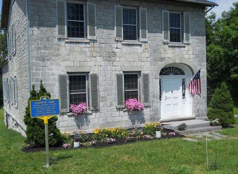
July 26, 2016
1. Hubbard Home Marker
Erected 2016 by William G. Pomeroy Foundation. (Marker Number 296.)
Topics and series. This historical marker is listed in this topic list: Settlements & Settlers. In addition, it is included in the William G. Pomeroy Foundation series list. A significant historical year for this entry is 1820.
Location. 43° 57.955′ N, 75° 41.232′ W. Marker is in Carthage, New York, in Jefferson County. It is on County Road 47. Touch for map. Marker is at or near this postal address: 34237 NY State Route 126, Carthage NY 13619, United States of America. Touch for directions.

Regionally, this marker is in Upstate New York and in the Adirondacks & North Country. It is also in the American Northeast and in the Mid-Atlantic. Globally, it is in North America, on the Great Lakes, in the Western Hemisphere, in the Western World, and in the Anglosphere. Historically, it finds itself in what was once the Viceroyalty of New France, the Haudenosaunee (Iroquois) Confederacy, New Netherland, and one of the
this page online
Other nearby markers. At least 8 other markers are within 8 miles of this marker, measured as the crow flies: Paper Mill Canal (approx. 4½ miles away); World War II (approx. 4.7 miles away); Copenhagen Civil War Memorial (approx. 5.1 miles away); Camp Hughes (1907) (approx. 7.4 miles away); Pine Camp (1908) (approx. 7.4 miles away); Pine Camp Cantonment (1941) (approx. 7.4 miles away); Camp Drum (1951) (approx. 7.4 miles away); Fort Drum (1974) (approx. 7.4 miles away).
Credits. This page was last revised on April 29, 2019. It was originally submitted on April 29, 2019, by Deryn Pomeroy of Syracuse, New York. This page has been viewed 383 times since then and 20 times this year. Photo 1. submitted on April 29, 2019, by Deryn Pomeroy of Syracuse, New York. • Andrew Ruppenstein was the editor who published this page.
Editor’s want-list for this marker. Closeup photo of the marker • Can you help?
