South Otselic in Chenango County, New York — The American Northeast (Mid-Atlantic)
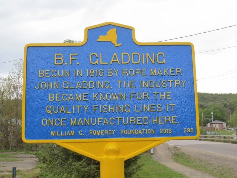
B.F. Gladding
May 21, 2016
1. B.F. Gladding Marker
Erected 2016 by William G. Pomeroy Foundation. (Marker Number 295.)
Topics and series. This historical marker is listed in this topic list: Industry & Commerce. In addition, it is included in the William G. Pomeroy Foundation series list.
Location. 42° 38.863′ N, 75° 46.998′ W. Marker is in South Otselic, New York, in Chenango County. It is on County Route 13 west of New York State Route 26, on the right when traveling west. Touch for map. Marker is at or near this postal address: One Gladding Street, South Otselic NY 13155, United States of America. Touch for directions.

Regionally, this marker is in Upstate New York and in the Southern Tier. It is also in the American Northeast, in the Mid-Atlantic, in Appalachia, and specifically in Northern Appalachia. Globally, it is in North America, the Western Hemisphere, the Western World, and the Anglosphere. Historically, it finds itself in what was once New Netherland and also
this page online
Other nearby markers. At least 8 other markers are within 6 miles of this marker, measured as the crow flies: Gladding (a few steps from this marker); Union School (about 400 feet away, measured in a direct line); South Otselic Historic District (about 700 feet away); Grace Brown (about 700 feet away); Union Valley Congregational Church (approx. 5.2 miles away); First Store (approx. 5.2 miles away); Early Tavern (approx. 5.2 miles away); Former Hotel (approx. 5.3 miles away). Touch for a list and map of all markers in South Otselic.
Photographed by Steve Stoessel, March 14, 2020
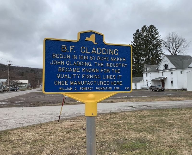
2. Another View of Marker
Photographed by Steve Stoessel
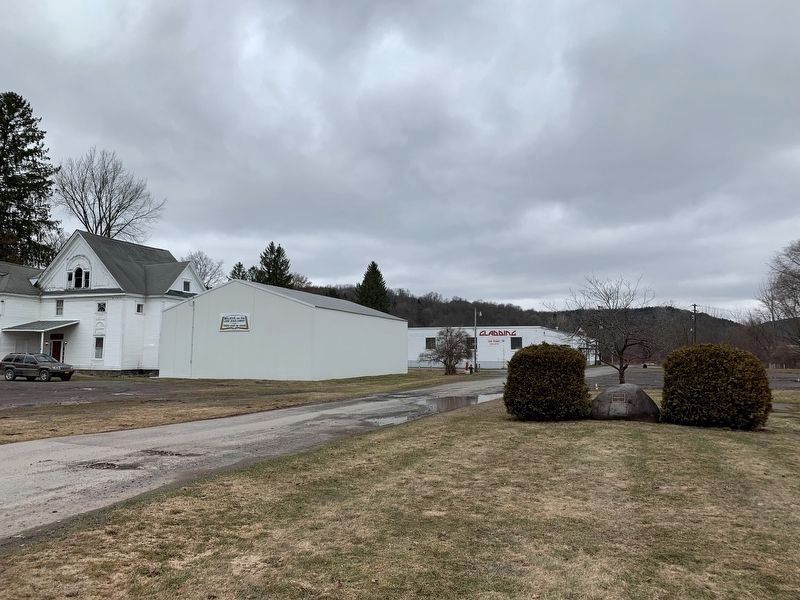
3. B.F. Gladding Plant
Photographed by Steve Stoessel, March 14, 2020
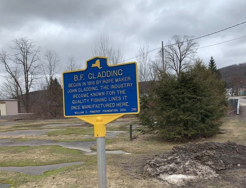
4. B.F. Gladding Marker
Credits. This page was last revised on March 17, 2020. It was originally submitted on April 29, 2019, by Deryn Pomeroy of Syracuse, New York. This page has been viewed 415 times since then and 24 times this year. Photos: 1. submitted on April 29, 2019, by Deryn Pomeroy of Syracuse, New York. 2, 3, 4. submitted on March 15, 2020, by Steve Stoessel of Niskayuna, New York. • Andrew Ruppenstein was the editor who published this page.
