Crash of TWA Flight 694
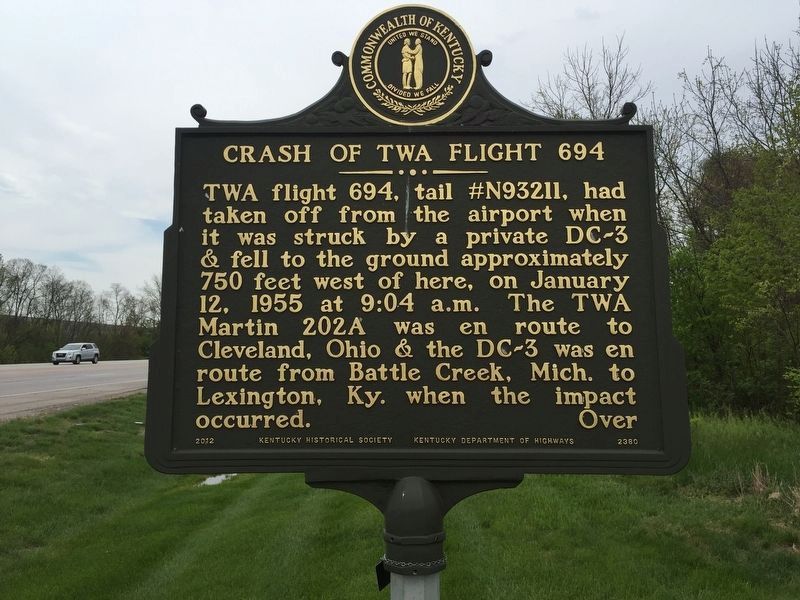
TWA flight 694, tail #N93211, had taken off from the airport when it was struck by a private DC-3 & fell to the ground approximately 750 feet west of here, on January 12, 1955 at 9:04 a.m. The TWA Martin 202A was en route to Cleveland, Ohio & the DC-3 was en route from Battle Creek, Mich. to Lexington, Ky. when the impact occurred.
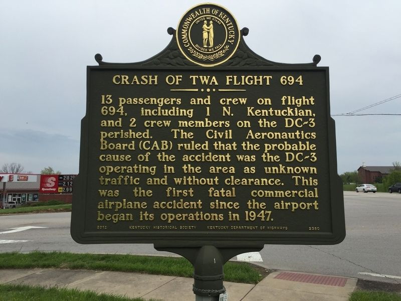
13 passengers and crew on flight 694, including 1 N. Kentuckian, and 2 crew members on the DC-3 perished. The Civil Aeronautics Board (CAB) ruled that the probable cause of the accident was the DC-3 operating in the area as unknown traffic and without clearance. This was the first fatal commercial airplane accident since the airport began its operations in 1947.
Erected 2012 by Kentucky Historical Society and Kentucky Department of Transportation. (Marker Number 2380.)
Topics and series. This historical marker is listed in these topic lists: Air & Space • Disasters. In addition, it is included in the Kentucky Historical Society series list. A significant historical date for this entry is January 12, 1955.
Location. 39° 3.408′ N, 84° 42.289′ W. Marker is in Hebron, Kentucky, in Boone County. Marker is at the intersection of North Bend Road (Kentucky Route 237) and Wright Boulevard, on the right when
Other nearby markers. At least 8 other markers are within 3 miles of this marker, measured as the crow flies. Old Burlington Cemetery (approx. 2 miles away); Hogan House (approx. 2.1 miles away); Duncan House (approx. 2.2 miles away); Burlington Methodist Church (approx. 2.2 miles away); James Runyan House (approx. 2.2 miles away); Historic Burlington, KY (approx. 2.2 miles away); Erastus Tousey House (approx. 2.2 miles away); Senator S. Walker Tolin House (approx. 2.2 miles away).
Also see . . . 1955 Cincinnati Mid-air Crash. (Submitted on April 29, 2019, by Steve Stoessel of Niskayuna, New York.)
Credits. This page was last revised on July 27, 2021. It was originally submitted on April 29, 2019, by Steve Stoessel of Niskayuna, New York. This page has been viewed 962 times since then and 108 times this year. Photos: 1, 2. submitted on April 29, 2019, by Steve Stoessel of Niskayuna, New York. • Andrew Ruppenstein was the editor who published this page.

