Historic District - North in Savannah in Chatham County, Georgia — The American South (South Atlantic)
Cisterns
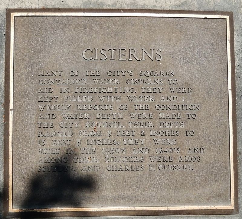
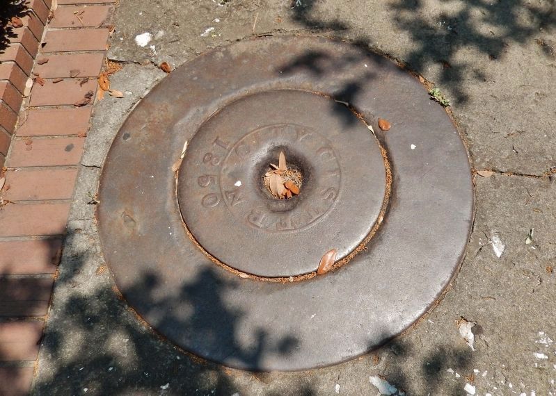
Many of the city’s squares contained water cisterns to aid in firefighting. They were kept filled with water and weekly reports of the condition and water depth were made to the City Council. Their depth ranged from 9 feet 2 inches to 13 feet 5 inches. They were built in the 1830’s and 1840’s and among their builders were Amos Scudder and Charles B. Cluskey.
Topics. This historical marker is listed in these topic lists: Architecture • Charity & Public Work.
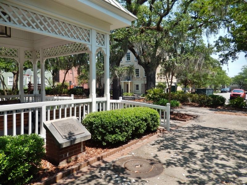
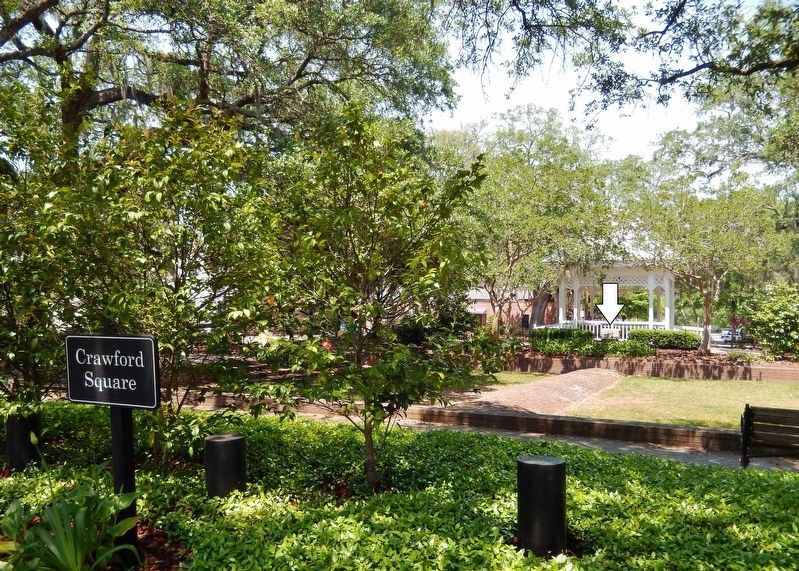
Location. 32° 4.449′ N, 81° 5.216′ W. Marker is in Savannah, Georgia, in Chatham County. It is in the Historic District - North. Marker can be reached from the intersection of Houston Street and East Mc Donough Street, on the left when traveling south. Marker is located near the center of Savannah's Crawford Square, on the south side of the gazebo. Touch for map. Marker is in this post office area: Savannah GA 31401, United States of America. Touch for directions.
Other nearby markers. At least 8 other markers are within walking distance of this marker. Recreation on Crawford Square (a few steps from this marker); Houstoun Street/York Street (about 700 feet away, measured in a direct line); Beach Institute (about 800 feet away); Police Station Steps (about 800 feet away); Police Officers Monument (approx. 0.2 miles away); Second Baptist Church (approx. 0.2 miles away); Nathanael Greene, Maj. Gen., Continental Army (approx. 0.2 miles away); Great Yellow Fever Epidemic of 1820 (approx. 0.2 miles away). Touch for a list and map of all markers in Savannah.
Photographed By Cosmos Mariner, April 28, 2019
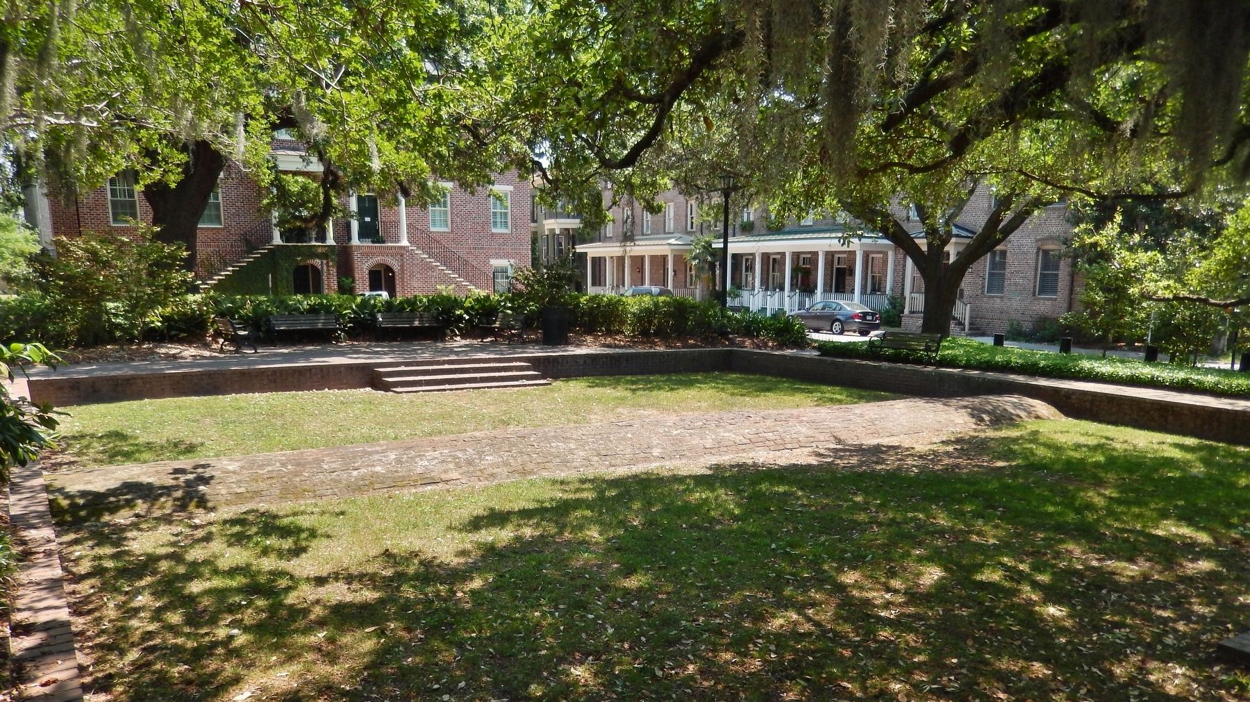
4. Crawford Square (view north from E. Perry St.; Gazebo and Cistern Marker in background)
Welcome to Savannah website entry
Click for more information.
Click for more information.
Credits. This page was last revised on February 8, 2023. It was originally submitted on April 29, 2019, by Cosmos Mariner of Cape Canaveral, Florida. This page has been viewed 375 times since then and 33 times this year. Photos: 1, 2, 3, 4, 5. submitted on April 29, 2019, by Cosmos Mariner of Cape Canaveral, Florida.
