Walton in Boone County, Kentucky — The American South (East South Central)
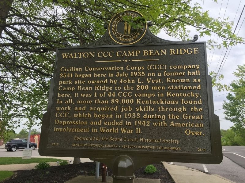
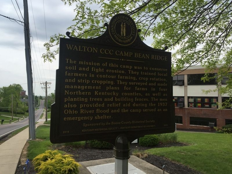
Walton CCC Camp Bean Ridge
Civilian Conservation Corps (CCC) company 3541 began here in July 1935 on a former ball park site owned by John L. Vest. Known as Camp Bean Ridge to the 200 men stationed here, it was 1 of 44 CCC camps in Kentucky In all, more than 89,000 Kentuckians found work and acquired job skills through the CCC, which began in 1933 during the Great Depression and ended in 1942 with American involvement in World War II. Over.
The mission of this camp was to conserve soil and fight erosion. They trained local farmers in contour farming, crop rotation and strip cropping. They surveyed and made management plans for farms in four Northern Kentucky counties, as well as planting trees and building fences. The men also provided relief aid during the 1937 Ohio River flood and the camp served as an emergency shelter.
Erected 2016 by Boone County Historical Society, Kentucky Historical Society and Kentucky Department of Highways. (Marker Number 2510.)
Topics and series. This historical marker is listed in this topic list: Charity & Public Work. In addition, it is included in the Civilian Conservation Corps (CCC), and the Kentucky Historical Society series lists. A significant historical month for this entry is July 1935.
Location. 38° 51.825′ N, 84° 37.085′ W. Marker is in Walton, Kentucky, in Boone County. Marker is at the intersection of School Road and Alta Vista Drive, on the right when traveling south on School Road. Touch for map. Marker is in this post office area: Walton KY 41094, United States of America. Touch for directions.
Other nearby markers. At least 8 other markers are within 7 miles of this marker, measured as the crow flies. Walton-Verona Veterans Memorial (approx. 0.4 miles away); Walton Vernona Purple Heart Monument (approx. 0.4 miles away); Skirmish at Snow’s Pond (approx. 2.8 miles away); Richwood Presbyterian Church (approx. 3.1 miles away); Major John P. Gaines (approx. 3.3 miles away); An Indian Massacre (approx. 5.2 miles away); Boone County, 1798 (approx. 5.2 miles away); County Named, 1840 (approx. 6.8 miles away). Touch for a list and map of all markers in Walton.
Additional keywords. New Deal
Credits. This page was last revised on June 3, 2021. It was originally submitted on May 1, 2019, by Steve Stoessel of Niskayuna, New York. This page has been viewed 430 times since then and 23 times this year. Photos: 1, 2. submitted on May 1, 2019, by Steve Stoessel of Niskayuna, New York. • Bill Pfingsten was the editor who published this page.

