Turpin Hills near Cincinnati in Hamilton County, Ohio — The American Midwest (Great Lakes)
Clark Stone House
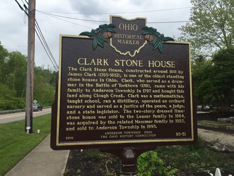
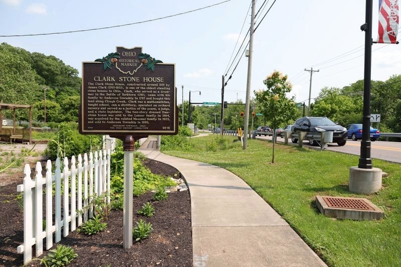
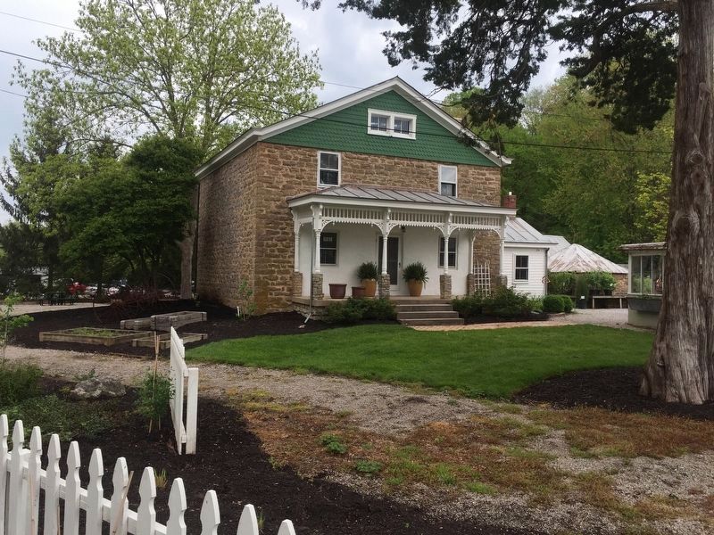
The Clark Stone House, constructed around 1801 by James Clark (1765-1852), is one of the oldest standing stone houses in Ohio. Clark, who served as a drummer in the Battle of Yorktown (1781), came with his family to Anderson Township in 1797 and bought this land along Clough Creek. Clark was a mathematician, taught school, ran a distillery, operated an orchard nursery and served as a justice of the peace, a judge, and a state legislator. The two-story dressed lime stone house was sold to the Leuser family in 1864, was acquired by the related Messmer family in 1923, and sold to Anderson Township in 1995.
Erected 2018 by Anderson Township, Ohio; The Ohio History Connection. (Marker Number 90-31.)
Topics and series. This historical marker is listed in this topic list: Settlements & Settlers. In addition, it is included in the Ohio Historical Society / The Ohio History Connection series list. A significant historical year for this entry is 1801.
Location. 39° 5.788′ N, 84° 22.084′ W. Marker is near Cincinnati, Ohio, in Hamilton County. It is in Turpin Hills. Marker is at the intersection of Clough Pike and Huntley Road, on the left when traveling east on Clough Pike. Touch for map. Marker is in this post office area: Cincinnati OH 45244, United States of America. Touch for directions.
Other nearby markers. At least 8 other markers are within 4 miles of this marker, measured as the crow flies. Clough Pike (within shouting distance of this marker); The Clough Baptist Cemetery (approx. ¼ mile away); Miller - Leuser Log House (approx. 0.4 miles away); Blockhouse (approx. 1.9 miles away); The Church / The Founder (approx. 1.9 miles away); Garard / Martin Station, 1790 (approx. 2.3 miles away); The Madisonville Site (approx. 3.1 miles away); Columbia Baptist Cemetery / Columbia (approx. 3.3 miles away). Touch for a list and map of all markers in Cincinnati.
Credits. This page was last revised on February 4, 2023. It was originally submitted on May 2, 2019, by Steve Stoessel of Niskayuna, New York. This page has been viewed 673 times since then and 79 times this year. Photos: 1. submitted on May 2, 2019, by Steve Stoessel of Niskayuna, New York. 2. submitted on June 7, 2019, by J. J. Prats of Powell, Ohio. 3. submitted on May 2, 2019, by Steve Stoessel of Niskayuna, New York. • Andrew Ruppenstein was the editor who published this page.


