Bethpage in Nassau County, New York — The American Northeast (Mid-Atlantic)
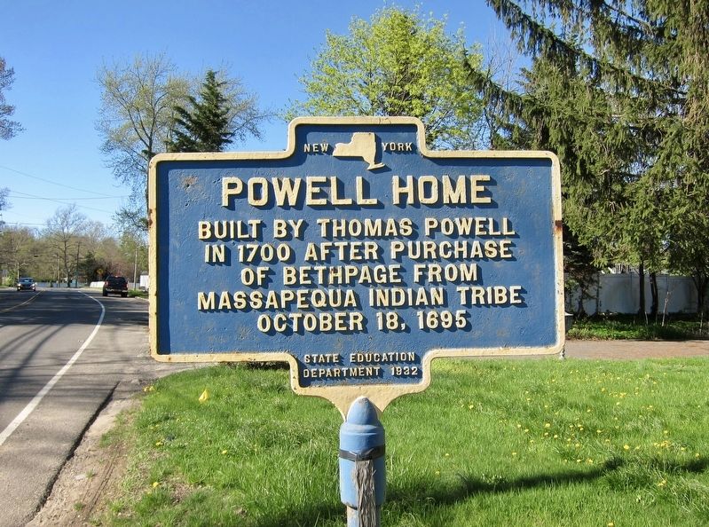
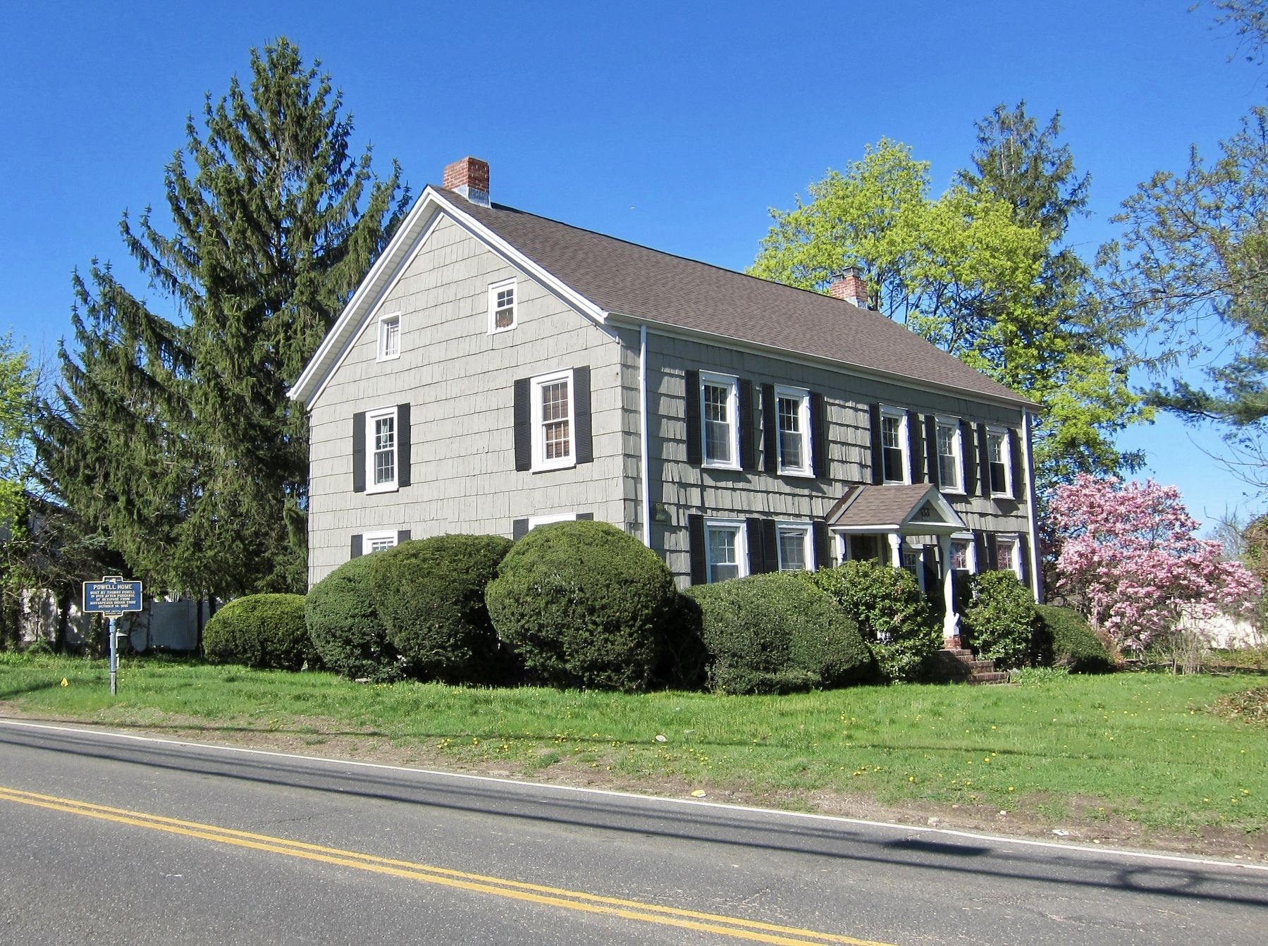
Powell Home
in 1700 after purchase
of Bethpage from
Massapequa Indian Tribe
October 18, 1695
Erected 1932 by State Education Department.
Topics. This historical marker is listed in these topic lists: Native Americans • Settlements & Settlers. A significant historical date for this entry is October 18, 1695.
Location. 40° 43.991′ N, 73° 27.594′ W. Marker is in Bethpage, New York, in Nassau County. Marker is on Merritts Road, 0.1 miles north of Conklin Street, on the right when traveling north. Touch for map. Marker is at or near this postal address: 33 Merritts Road, Bethpage NY 11714, United States of America. Touch for directions.
Other nearby markers. At least 8 other markers are within walking distance of this marker. Broad Spring (about 700 feet away, measured in a direct line); Quaker Meeting House (approx. half a mile away); Farmingdale Korea and Vietnam War Memorial (approx. 0.8 miles away); Farmingdale Civil War Memorial (approx. 0.8 miles away); Farmingdale Honor Roll World War 1917-1918 (approx. 0.8 miles away); Farmingdale World War II Memorial (approx. 0.8 miles away); Farmingdale War Memorial (approx. 0.8 miles away); L.I. Motor Pkwy (approx. 0.9 miles away). Touch for a list and map of all markers in Bethpage.
Also see . . . Bethpage Purchase (Wikipedia). "The Bethpage Purchase was a 1687 land transaction in which Thomas Powell, Sr, bought more than 15 square miles (39 km2; 9,600 acres) in central Long Island, New York for £140 (English pounds sterling) from local Indian tribes, including the Marsapeque, Matinecoc, and Sacatogue. This land, which includes present day Bethpage, East Farmingdale, Farmingdale, Old Bethpage, Plainedge, Plainview, South Farmingdale, and part of Melville, is approximately 3.5 miles (5.6 km) east to west and 5 mi (8.0 km) north to south, covering land on both sides of the present-day border between Nassau and Suffolk counties....On October 18, 1695, Mawmee (alias Serewanos), William Chepy, Seurushung, and Wamussum made their marks on the sheepskin deed. The deed, which recognizes Powell had already been in possession of part of the land for more than seven years, is recorded in the Queens County Clerks office, and in it, the Indians reserved the right to pick berries and hunt on the property sold...." (Submitted on May 4, 2019.)
Credits. This page was last revised on May 4, 2019. It was originally submitted on May 4, 2019, by Andrew Ruppenstein of Lamorinda, California. This page has been viewed 1,458 times since then and 204 times this year. Photos: 1, 2. submitted on May 4, 2019, by Andrew Ruppenstein of Lamorinda, California.

