Dubuque in Dubuque County, Iowa — The American Midwest (Upper Plains)
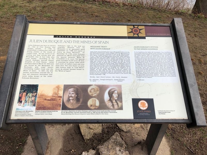
Julien Dubuque and the Mines of Spain
Photographed by Ruth VanSteenwyk, April 23, 2019
1. Julien Dubuque and the Mines of Spain Marker
Julien Dubuque was born on January 10, 1762 at Trios Rivieres near Quebec, Canada. In 1788, he established a trading post and lead mining smelter at the mouth of Catfish Creek. He was active in fur trading and lead mining with the Mesquakie (Sac & Fox) tribe who lived nearby. According to the legend, Dubuque married Potosa, daughter of Chief Peosta. Julien Dubuque died on March 24, 1810 and was buried by the Mesquakie (or Meskwaki) with tribal honors overlooking Catfish Creek and the Mines of Spain. In 1897, the Old Settlers Association erected the 25 foot tall limestone monument that exists today known as the Julien Dubuque Monument.
Dubuque's right to the land was originally obtained from the Mesquakie in an agreement dated September 22, 1788 and singed at Prairie du Chien, Wisconsin. On November 10, 1796, Julien Dubuque obtained an official land grant from the Spanish Governor, Baron de Carondelet in St. Louis. The Spanish grant included 73,324 acres of land. It stretched for eleven miles notrh and south of Catfish Creek and nine miles west. This area shown on early 18th Century maps as "Lead Mines" (mine de plomb)
this page online
Photographed by Ruth VanSteenwyk, April 23, 2019
2. Julien Dubuque and the Mines of Spain Marker
Blondau . Bazil + Teser(?) witness - Ala + Austin . Blondeau
Of + Quisneau His signet - Anloque (Antaya??) - Joseph Fontigny witness
Picture Captions
Dubuque with Mesquakie, National Mississippi River Museum & Aquarium Captain William D. Bowell Sr. River Library.
Remains of original Dubuque burial site, Photo contributed by Center for Dubuque History, Loras College.
An artist's depiction of Julien Dubuque and Potosa; burial vault possibly erected by the Mesquakie; and the monument built in 1897 by the Old Settlers' Association. National Mississippi River Museum & Aquarium Captain William D. Bowell Sr. River library.
Erected by Friends of the Mines of Spain, City of Dubuque.
Topics. This historical marker is listed in these topic lists: Indigenous Peoples and Communities • Industry & Commerce • Settlements & Settlers. A significant historical date for this entry is January 10, 1762.
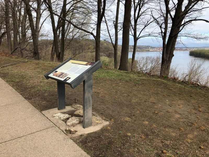
Location. 42° 28.133′ N, 90° 38.797′ W. Marker is in Dubuque, Iowa, in Dubuque County. It is on Monument Drive. Located at the end of Monument Drive. Touch for map. Marker is in this post office area: Dubuque IA 52003, United States of America. Touch for directions.

Regionally, this marker is in Eastern Iowa. It is also in the American Midwest, in the Corn Belt, and in the Great River Road Region. Globally, it is in North America, the Western Hemisphere, the Western World, and the Anglosphere. Historically, it finds itself in what was once the territory of the Mississippian Culture and also the Louisiana Purchase.
Other nearby markers. At least 8 other markers are within 2 miles of this marker, measured as the crow flies: Julien Dubuque (a few steps from this marker); The Native Americans at the Mines of Spain (within shouting distance of this marker); Historic Dubuque (about 500 feet away, measured in a direct line); The Canoe (approx. 0.2 miles away); Dubuque's Mines of Spain / New Melleray Abbey (approx. 0.6 miles away); Dubuque's Mines of Spain / Historic Dubuque (approx. 1.1 miles away); East Dubuque Veterans' Memorial (approx. 1.6 miles away in Illinois); Eleazor and Diadamia Frentress (approx. 1.6 miles away in Illinois). Touch for a list and map of all markers in Dubuque.
Credits. This page was last revised on May 6, 2019. It was originally submitted on May 4, 2019, by Ruth VanSteenwyk of Aberdeen, South Dakota. This page has been viewed 665 times since then and 54 times this year. Photos: 1, 2. submitted on May 4, 2019, by Ruth VanSteenwyk of Aberdeen, South Dakota. • Andrew Ruppenstein was the editor who published this page.
