Rochelle in Ogle County, Illinois — The American Midwest (Great Lakes)
City of Rochelle
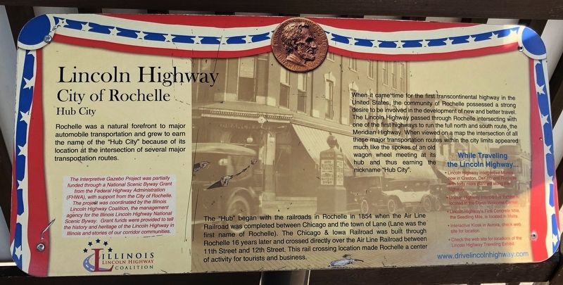
Lincoln Highway
— Hub City —
Rochelle was a natural forefront to major automobile transportation and grew to earn the name of the "Hub City" because of its location at the intersection of several major transportation routes.
The "Hub" began with the railroads in Rochelle in 1854 when the Air Line Railroad was completed between Chicago and the town of Lane (Lane was the first name of Rochelle). The Chicago & Iowa Railroad was built through Rochelle 16 years later and crossed directly over the Air Line Railroad between 11th Street and 12th Street. This rail crossing location made Rochelle a center of activity for tourists and business.
When it came time for the first transcontinental highway in the United States the community of Rochelle possessed a strong desire to be involved in the development of new and better travel. The Lincoln Highway passed through Rochelle intersecting with one of the first highways to run the full north and south route the Meridian High way. When viewed on a map the intersection of all these major transportation routes within the city limits appeared much like the spokes and an old wagon wheel meeting at its hub and thus earning the nickname "Hub City".
Topics and series. This historical marker is listed in these topic lists: Railroads & Streetcars • Roads & Vehicles. In addition, it is included in the Lincoln Highway series list. A significant historical year for this entry is 1854.
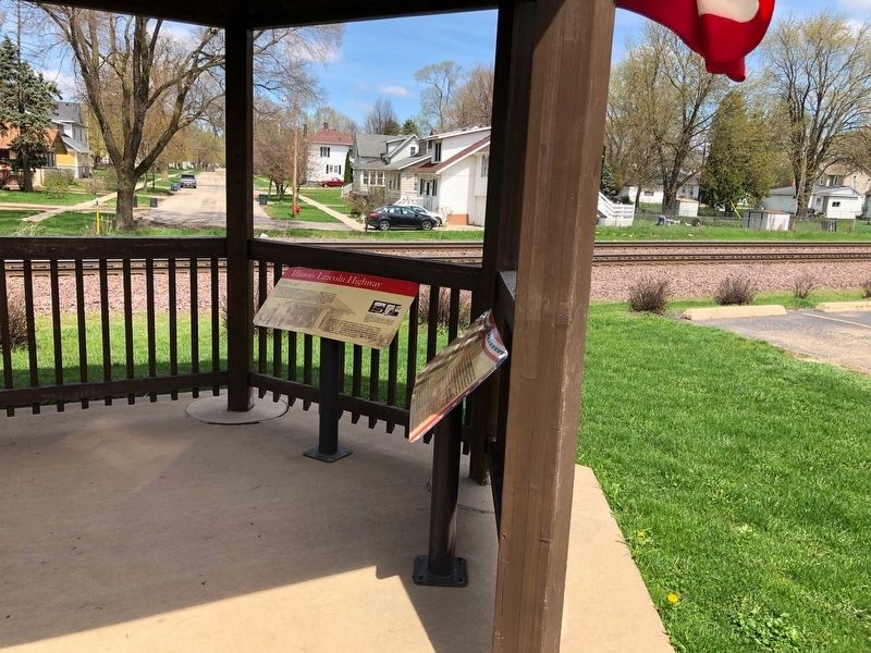
Location. 41° 55.219′ N, 89° 4.345′ W. Marker is in Rochelle, Illinois, in Ogle County. Located at the Rochelle Railroad Park. Touch for map. Marker is at or near this postal address: 206 N 10th St, Rochelle IL 61068, United States of America. Touch for directions.
Other nearby markers. At least 8 other markers are within 10 miles of this marker, measured as the crow flies. The Lincoln Highway - The nation's first coast-to-coast highway! (here, next to this marker); "Fill 'er up!" (here, next to this marker); Better Roads for a Bright Future (here, next to this marker); Creston (approx. 5.6 miles away); Gross Saw Mill (approx. 7.1 miles away); Morgan Grist Mill (approx. 7.9 miles away); Aikens Saw Mill (approx. 10 miles away); Lincoln Highway Seedling Mile (approx. 10.1 miles away). Touch for a list and map of all markers in Rochelle.
Credits. This page was last revised on May 6, 2019. It was originally submitted on May 5, 2019, by Ruth VanSteenwyk of Aberdeen, South Dakota. This page has been viewed 793 times since then and 119 times this year. Photos: 1, 2. submitted on May 5, 2019, by Ruth VanSteenwyk of Aberdeen, South Dakota. • Andrew Ruppenstein was the editor who published this page.

