Clinton in Rock County, Wisconsin — The American Midwest (Great Lakes)
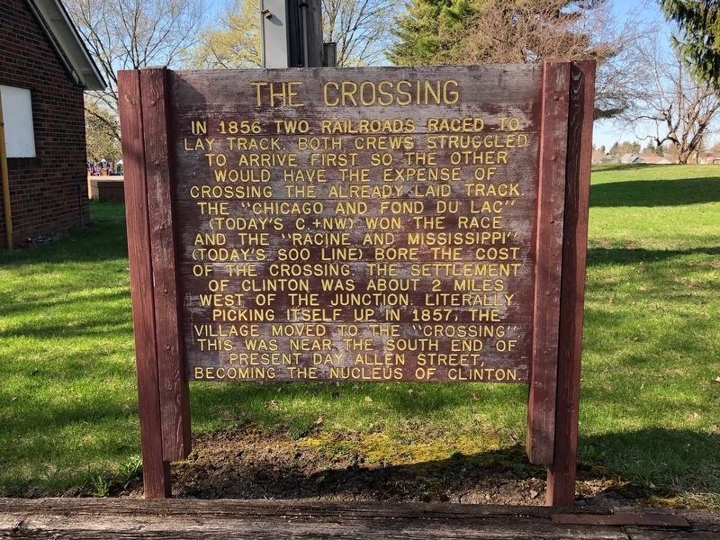
The Crossing
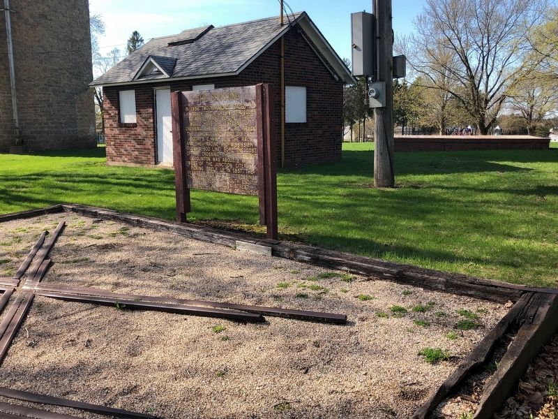
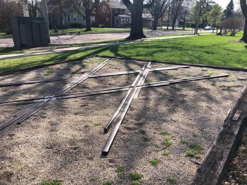
In 1856 two railroads raced to lay track. Both crews struggled to arrive first so the other would have the expense of crossing the already laid track. The "Chicago and Fond du Lac" (today's C&NW) won the race and the "Racine and Mississippi" (today's Soo Line) bore the cost of the crossing. The settlement of Clinton was about 2 miles west of the junction . Literally picking itself up in 1857, the village moved to the "Crossing". This was near the south end of present day Allen street, becoming the nucleus of Clinton.
Topics. This historical marker is listed in this topic list: Railroads & Streetcars. A significant historical year for this entry is 1856.
Location. 42° 33.653′ N, 88° 51.799′ W. Marker is in Clinton, Wisconsin, in Rock County. Marker is at the intersection of High St and Allen St on High St. Located at Herb Reffue Park. Touch for map. Marker is at or near this postal address: 502 High St, Clinton WI 53525, United States of America. Touch for directions.
Other nearby markers. At least 8 other markers are within 7 miles of this marker, measured as the crow flies. The Old Clinton Water Tower (a few steps from this marker); The Skavlem–Williams Log Cabin (approx. 0.6 miles away); Home of Governor Harvey (approx. 4 miles away); Soldier of The American Revolution (approx. 4.2 miles away); In the Name of God. Amen. (approx. 4.6 miles away); Jefferson Prairie Settlement (approx. 4.7 miles away); Allen Family (approx. 5.3 miles away); La Prairie Grange Hall (approx. 6½ miles away). Touch for a list and map of all markers in Clinton.
Credits. This page was last revised on May 6, 2019. It was originally submitted on May 5, 2019, by Ruth VanSteenwyk of Aberdeen, South Dakota. This page has been viewed 277 times since then and 41 times this year. Photos: 1, 2, 3. submitted on May 5, 2019, by Ruth VanSteenwyk of Aberdeen, South Dakota. • Bill Pfingsten was the editor who published this page.


