Milford in Clermont County, Ohio — The American Midwest (Great Lakes)
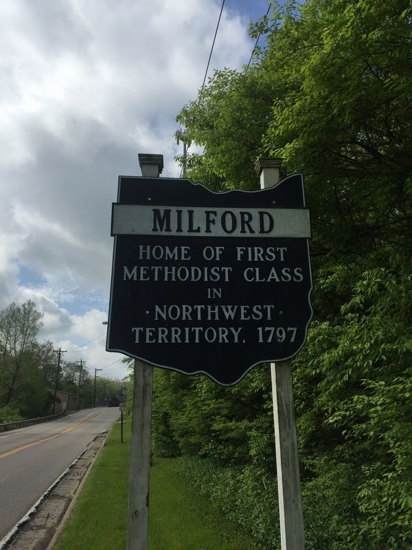
Milford
Erected by The Ohio Historical Society, Ohio Department of Transportation, Ohio Bicentennial Commission.
Topics. This historical marker is listed in these topic lists: Churches & Religion • Settlements & Settlers. A significant historical year for this entry is 1797.
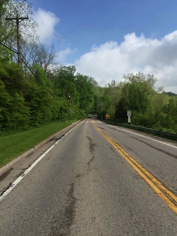
Location. 39° 10.402′ N, 84° 17.997′ W. Marker is in Milford, Ohio, in Clermont County. Marker is on Glendale Milford Road north of U.S. 50, on the left when traveling north. Touch for map. Marker is in this post office area: Milford OH 45150, United States of America. Touch for directions.
Other nearby markers. At least 8 other markers are within 2 miles of this marker, measured as the crow flies. Milford Bridge (about 700 feet away, measured in a direct line); Covalt Station (approx. half a mile away); First Methodist Church (approx. half a mile away); Promont (approx. 1.1 miles away); Camp Dennison (approx. 1.2 miles away); Dr. Alfred Buckingham (approx. 1.2 miles away); a different marker also named Camp Dennison (approx. 1.2 miles away); a different marker also named Camp Dennison (approx. 1.2 miles away). Touch for a list and map of all markers in Milford.
Credits. This page was last revised on May 10, 2019. It was originally submitted on May 9, 2019, by Steve Stoessel of Niskayuna, New York. This page has been viewed 266 times since then and 16 times this year. Photos: 1, 2. submitted on May 9, 2019, by Steve Stoessel of Niskayuna, New York. • Andrew Ruppenstein was the editor who published this page.

