Hebron in Boone County, Kentucky — The American South (East South Central)
1937 Flood at Constance / Anderson Ferry
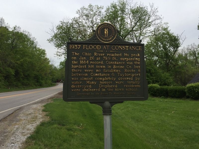
1937 Flood at Constance
The Ohio River reached its peak on Jan. 26 at 79.9 ft. surpassing the 1884 record. Constance was the hardest hit town in Boone Co. but there were no fatalities. Route 8 between Constance & Taylorsport was almost completely covered by water. Many houses were totally destroyed. Displaced residents were sheltered in the town school
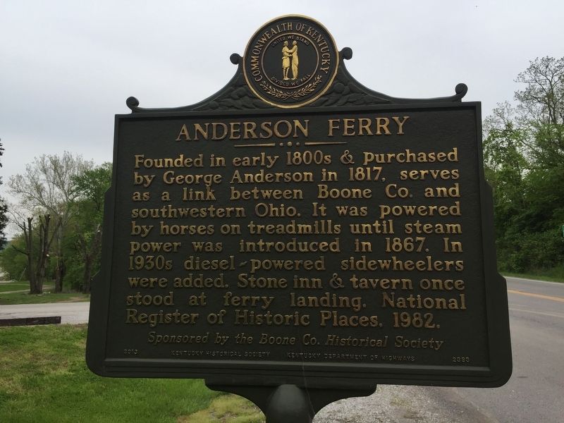
Anderson Ferry
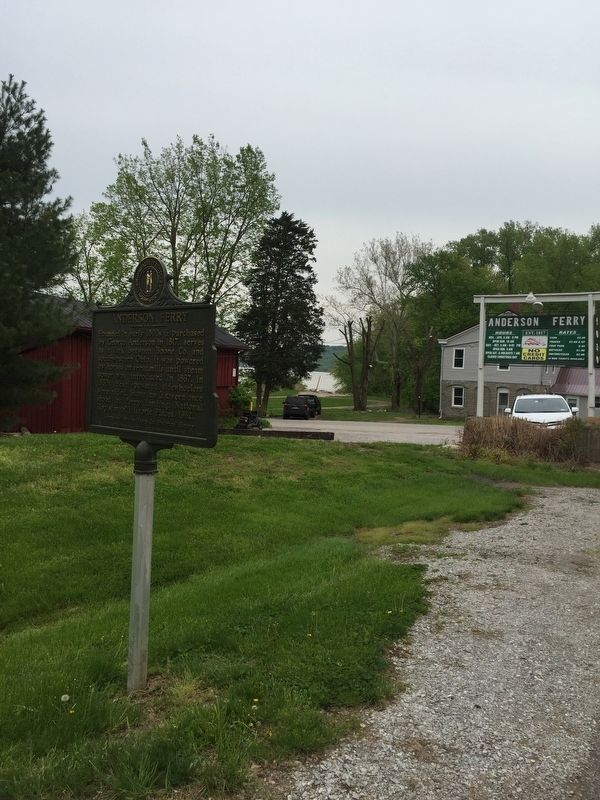
Founded in early 1800s & purchased by George Anderson in 1817, serves as a link between Boone Co. and southwestern Ohio. It was powered by horses on treadmills until steam power was introduced in 1867. In 1930s diesel powered sidewheelers were added. Stone inn tavern once stood at ferry landing. National Register of Historic Places. 1982.
Sponsored by the Boone County Historical Society
Erected 2010 by Kentucky Historical Society and Kentucky Department of Transportation. (Marker Number 2393.)
Topics and series. This historical marker is listed in these topic lists: Disasters • Industry & Commerce • Waterways & Vessels. In addition, it is included in the Kentucky Historical Society series list. A significant historical date for this entry is January 26, 1884.
Location. 39° 4.229′ N, 84° 37.641′ W. Marker is in Hebron, Kentucky, in Boone County. Marker is on Kentucky Route 8, on the left when traveling east. Touch for map. Marker is in this post office area: Hebron KY 41048, United States of America. Touch for directions.
Other nearby markers. At least 8 other markers are within 4 miles of this marker, measured as the crow flies. Sgt. Ronald L. Niewahner (approx. 1.8 miles away); Center of Population of U.S. in 1880 (approx. 1.9 miles away); Sisters of Charity of Cincinnati (approx. 2 miles away in Ohio); Crash of TWA Flight 128 (approx. 2.2 miles away); Crash of AA 383 (approx. 2.3 miles away); Revolutionary War Patriots (approx. 2.4 miles away); Powhatan Beaty / Union Baptist Cemetery (approx. 3˝ miles away in Ohio); Gen. Ormsby MacKnight Mitchel (approx. 3.6 miles away). Touch for a list and map of all markers in Hebron.
Also see . . . Kentucky History Site. (Submitted on May 9, 2019, by Steve Stoessel of Niskayuna, New York.)
Credits. This page was last revised on June 3, 2021. It was originally submitted on May 9, 2019, by Steve Stoessel of Niskayuna, New York. This page has been viewed 377 times since then and 41 times this year. Photos: 1, 2, 3. submitted on May 9, 2019, by Steve Stoessel of Niskayuna, New York. • Andrew Ruppenstein was the editor who published this page.


