Wraggborough in Charleston in Charleston County, South Carolina — The American South (South Atlantic)
Charleston Public Water System
Inscription.
(side 1)
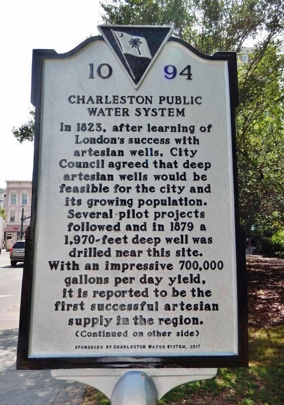
In 1823, after learning of London's success with artesian wells, City Council agreed that deep artesian wells would be feasible for the city and its growing population. Several pilot projects followed and in 1879 a 1,970-feet deep well was drilled near this site. With an impressive 700,000 gallons per day yield, it is reported to be the first successful artesian supply in the region.
(side 2)
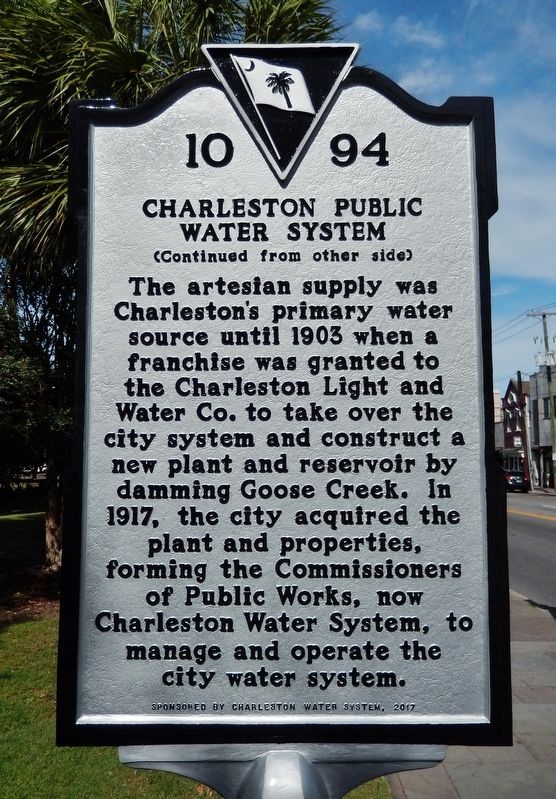
The artesian supply was Charleston's primary water source until 1903 when a franchise was granted to the Charleston Light and Water Co. to take over the city system and construct a new plant and reservoir by damming Goose Creek. In 1917, the city acquired the plant and properties, forming the Commissioners of Public Works, now Charleston Water System, to manage and operate the city water system.
Erected 2017 by Charleston Water System. (Marker Number 10-94.)
Topics. This historical marker is listed in this topic list: Natural Resources. A significant historical year for this entry is 1879.
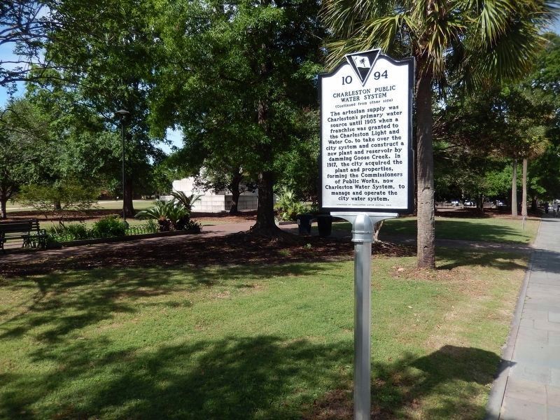
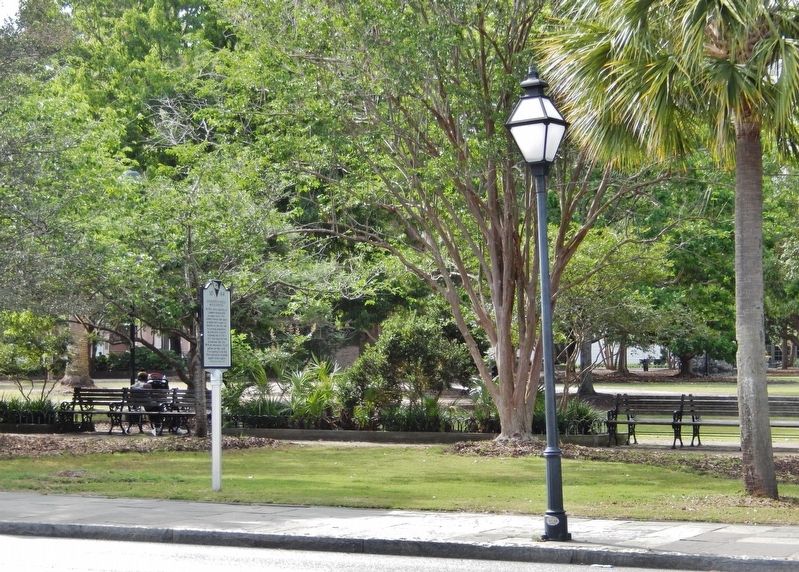
Location. 32° 47.172′ N, 79° 56.145′ W. Marker is in Charleston, South Carolina, in Charleston County. It is in Wraggborough. Marker is on Calhoun Street west of Meeting Street, on the right when traveling west. Marker is located near the sidewalk, on the south side of Charleston's Marion Square, between Meeting Street and King Street. Touch for map. Marker is at or near this postal address: 329 Meeting Street, Charleston SC 29403, United States of America. Touch for directions.
Other nearby markers. At least 8 other markers are within walking distance of this marker. Marion Square (within shouting distance of this marker); Calhoun (within shouting distance of this marker); Reclaiming Charleston’s History (within shouting distance of this marker); Charleston’s Horn Work (within shouting distance of this marker); A Tabby Defense (within shouting distance of this marker); a different marker also named Marion Square (about 300 feet away, measured in a direct line); Remnant of Horn Work (about 300 feet away); The Liberty Trail (about 300 feet away). Touch for a list and map of all markers in Charleston.
Also see . . .
1. Charleston Water System History. The original Hanahan Steam Pumping Station, built in 1903, is now the site of Charleston Water's Hanahan Water Treatment Plant. The building pictured here was refurbished in the 1980s to house the plant's administrative offices and laboratory staff. (Submitted on May 10, 2019, by Cosmos Mariner of Cape Canaveral, Florida.)
2. The History of Water and Sewer Service in Charleston. This site presents numerous historic photographs of water distribution
facilities around Charleston, as well as a detailed timeline of the city's water service milestones. (Submitted on May 10, 2019, by Cosmos Mariner of Cape Canaveral, Florida.)
Credits. This page was last revised on February 16, 2023. It was originally submitted on May 10, 2019, by Cosmos Mariner of Cape Canaveral, Florida. This page has been viewed 374 times since then and 25 times this year. Photos: 1, 2, 3, 4. submitted on May 10, 2019, by Cosmos Mariner of Cape Canaveral, Florida.


