Canyon Country near Santa Clarita in Los Angeles County, California — The American West (Pacific Coastal)
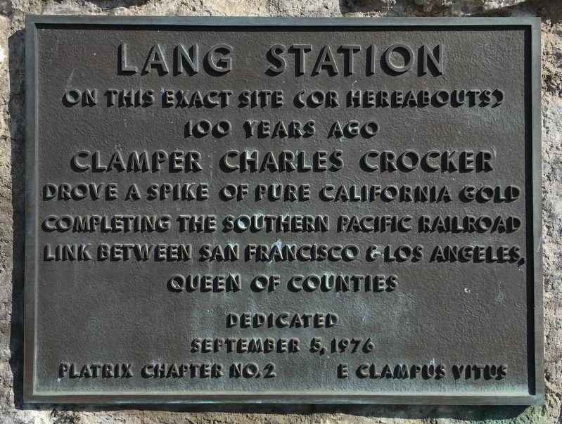
Lang Station
Photographed by Craig Baker, May 11, 2019
1. Lang Station Marker
On this exact site (or hereabouts) 100 years ago, Clamper Charles Crocker drove a spike of pure California gold, completing the Southern Pacific Railroad link between San Francisco & Los Angeles, Queen of Counties.
Erected 1976 by E Clampus Vitus Platrix Chapter No. 2.
Topics and series. This historical marker is listed in this topic list: Railroads & Streetcars. In addition, it is included in the Chinese Heritage Sites of the American West, the E Clampus Vitus, and the Southern Pacific Railroad series lists.
Location. 34° 24.777′ N, 118° 26.061′ W. Marker is near Santa Clarita, California, in Los Angeles County. It is in Canyon Country. It can be reached from the intersection of Vista Canyon Road and Mitchell Drive. Located at the Vista Canyon Metrolink Station. Touch for map. Marker is at or near this postal address: 27550½ Vista Canyon Rd, Canyon Country CA 91387, United States of America. Touch for directions.

Regionally, this marker is in Greater Los Angeles and in the Transverse Ranges. It is also on the American Pacific Coast. Globally, it is in North
this page online
Other nearby markers. At least 10 other markers are within 4 miles of this marker, measured as the crow flies: Chinese Railroad Workers (here, next to this marker); In Honor of All Chinese Railroad Workers (here, next to this marker); Union at the End of the Tunnel (a few steps from this marker); Mitchell River House (approx. 0.4 miles away); Walker Ranch (approx. 2.6 miles away); White Oil Seep (approx. 2.7 miles away); The Walker Cabin (approx. 3.1 miles away); Oil in Placerita Canyon (approx. 3.2 miles away); Oak of the Golden Dream (approx. 3.3 miles away); a different marker also named Oak of the Golden Dream (approx. 3.3 miles away). Touch for a list and map of all markers in Santa Clarita.
Regarding Lang Station. This plaque was originally installed at the site of Lang Station. It took the place of the California Historical Landmark - Lang Southern Pacific Station plaque after it was relocated from the
Photographed by Craig Baker, October 19, 2023
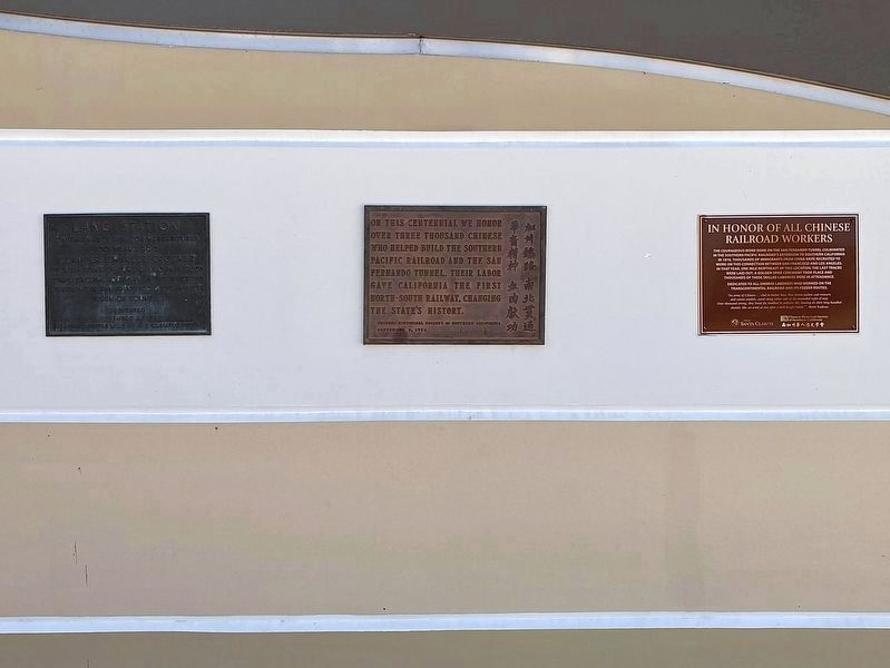
2. Lang Station Marker - at left
In 2023 this plaque was relocated to the new Vista Canyon Metrolink Station.
The Santa Clarita Valley Historical Society was formed in part because of the demolition of Lang Station.
Related marker. Click here for another marker that is related to this marker. - Site of Lang Southern Pacific Station, the original location of this marker.
Photographed by Craig Baker, October 19, 2023
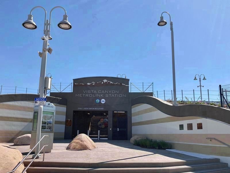
3. Lang Station Markers
Relocated in 2023 to the new Vista Canyon Metrolink Station, 3½ miles west of Lang.
Photographed by Craig Baker, October 19, 2023
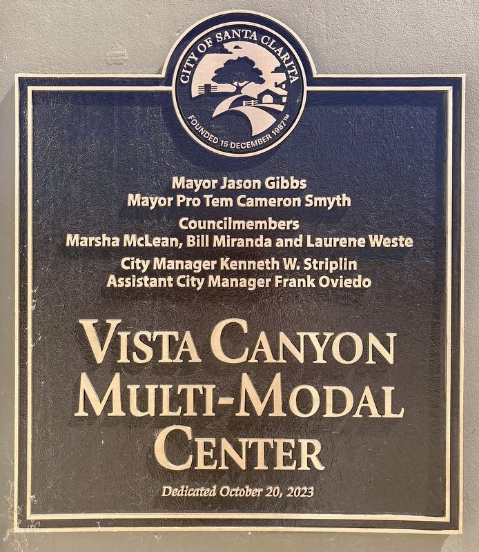
4. Dedicated October 20, 2023
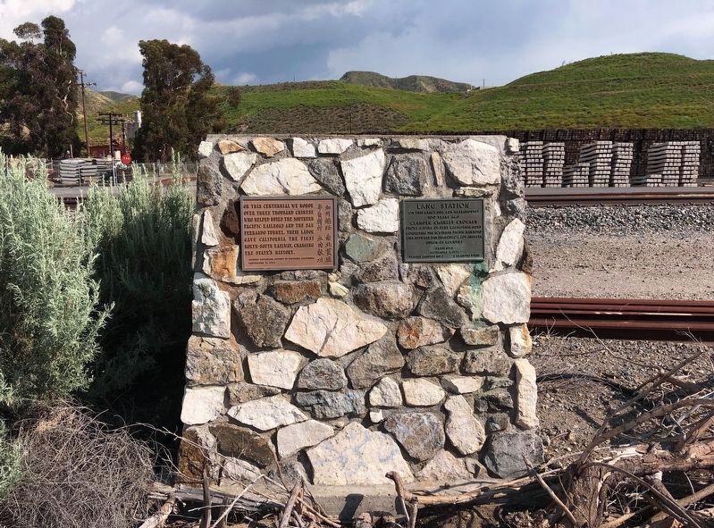
Photographed by Craig Baker, May 11, 2019
5. Original Location
The marker is on the right. On the left is a tribute to Chinese Railroad Workers. This was the site of Lang Station.
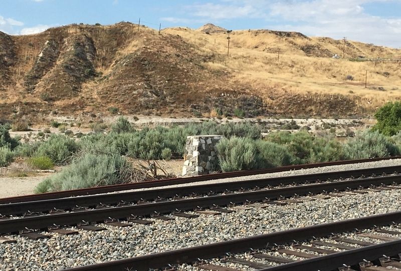
Photographed by Craig Baker, May 11, 2019
6. Original Location
Near Lang Station Road ¼-mile south of Soledad Canyon Road, at 34°25.966′N, 118°22.59′W
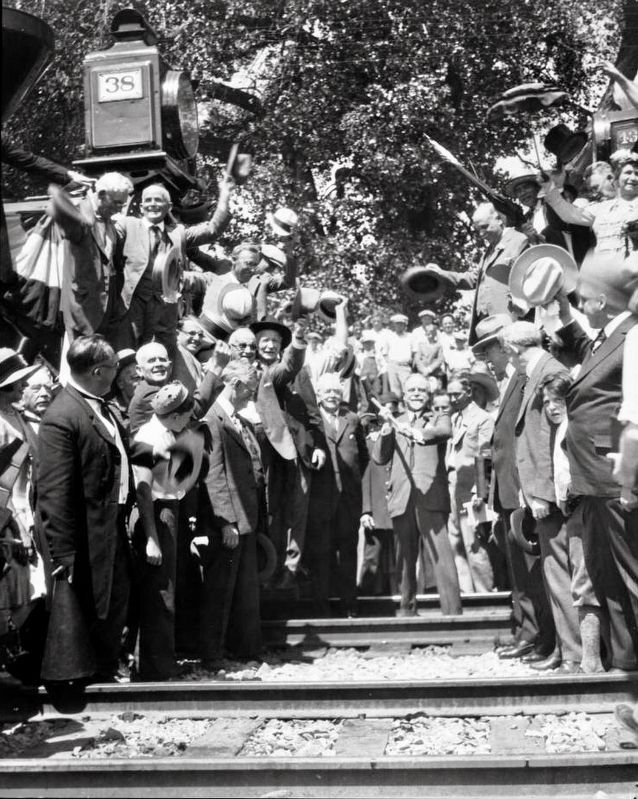
courtesy of the Univ. of Southern California Libraries and the California Historical Society, September 5, 1926
7. 50 years later: View of William Crocker as he prepares to drive a rail spike...
Full title is: View of William Crocker as he prepares to drive a rail spike at the recreation of the driving of the final spike on Southern Pacific's Los Angeles-San Francisco line, September 5, 1926
"A crowd stands around William Crocker, son of Charles Crocker, who stands on the train tracks at the center of the image, hammer poised to re-enact the driving of the final spike on the Los Angeles-San Francisco link of the Southern Pacific railroad. Onlookers include Los Angeles mayor George Cryer, who stands on the train in the left centerground, wearing glasses and a light-colored jacket, and San Francisco mayor "Sunny Jim" Rolph, who stands at the right foreground, holding a light-colored hat." - USC Library
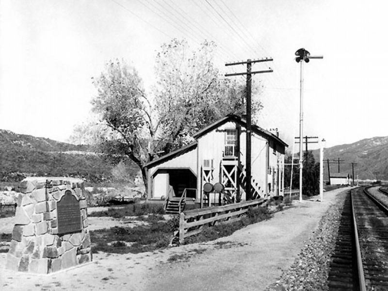
circa 1960
8. Lang Station and Original State Marker
After the station was demolished, the California Historical Landmark - Lang Southern Pacific Station plaque was relocated to nearby Lang Station Road for easier public access. E Clampus Vitus later installed their plaque here.
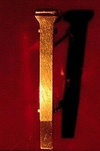
via Wikipedia
9. The Golden Spike
The original "golden spike", on display at the Cantor Arts Museum at Stanford University
Credits. This page was last revised on August 17, 2026. It was originally submitted on May 11, 2019, by Craig Baker of Sylmar, California. This page has been viewed 1,317 times since then and 101 times this year. Last updated on May 15, 2019, by Craig Baker of Sylmar, California. Photos: 1. submitted on May 11, 2019, by Craig Baker of Sylmar, California. 2, 3, 4. submitted on October 19, 2023, by Craig Baker of Sylmar, California. 5, 6. submitted on May 11, 2019, by Craig Baker of Sylmar, California. 7. submitted on May 14, 2019. 8. submitted on May 11, 2019, by Craig Baker of Sylmar, California. 9. submitted on July 3, 2021, by Larry Gertner of New York, New York. • Andrew Ruppenstein was the editor who published this page.
