Chetumal in Othón P. Blanco, Quintana Roo, Mexico — The Yucatan Peninsula (The Southeast)
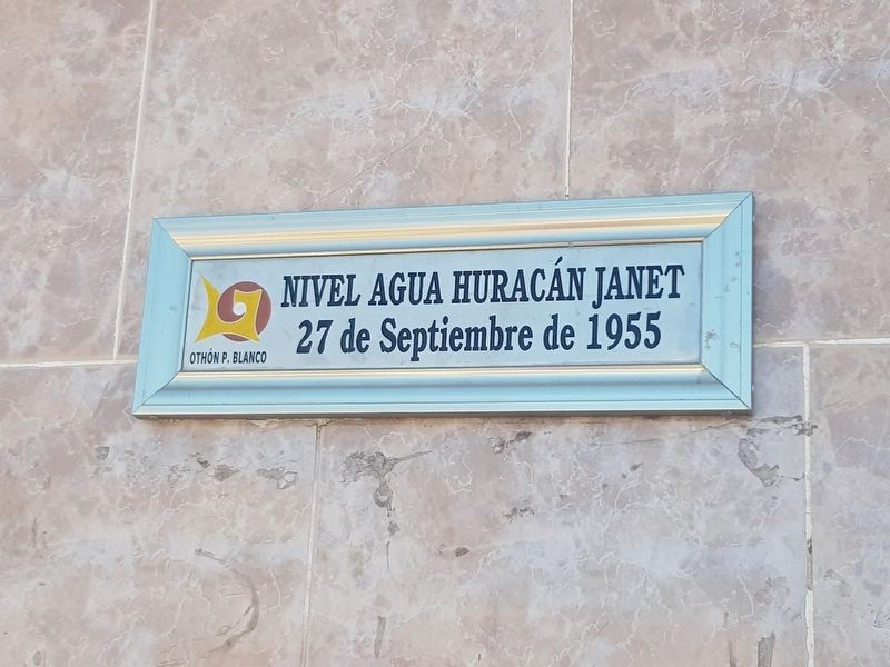
Hurricane Janet
27 de Septiembre de 1955
Maximum water height during Hurricane Janet
September 27, 1955
Erected by Municipalidad de Othón P. Blanco.
Topics. This historical marker is listed in these topic lists: Disasters • Notable Events. A significant historical date for this entry is September 27, 1955.
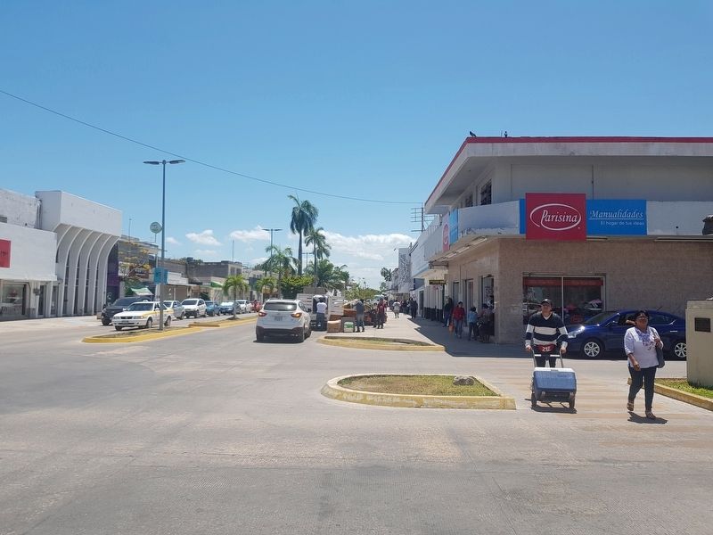
Location. 18° 29.738′ N, 88° 17.823′ W. Marker is in Chetumal, Quintana Roo, in Othón P. Blanco. Marker is at the intersection of Avenida de los Héroes and Avenida Othón P. Blanco, on the right when traveling south on Avenida de los Héroes. Touch for map. Marker is in this post office area: Chetumal QR 77000, Mexico. Touch for directions.
Other nearby markers. At least 8 other markers are within walking distance of this marker. José María Morelos y Pavón (a few steps from this marker); Miguel Hidalgo y Costilla (within shouting distance of this marker); Businesses of Yesteryear (within shouting distance of this marker); Remnants of Chetumal's Sidewalks (within shouting distance of this marker); Chetumaleñas (within shouting distance of this marker); a different marker also named Businesses of Yesteryear (within shouting distance of this marker); Andrés Quintana Roo (about 90 meters away, measured in a direct line); The Clock Tower (about 120 meters away). Touch for a list and map of all markers in Chetumal.
Regarding Hurricane Janet. This marker is repeated at a few locations in Chetumal as a reminder of this deadly 1955 hurricane.
Credits. This page was last revised on May 17, 2019. It was originally submitted on May 17, 2019, by J. Makali Bruton of Accra, Ghana. This page has been viewed 123 times since then and 5 times this year. Photos: 1, 2. submitted on May 17, 2019, by J. Makali Bruton of Accra, Ghana.

