Chetumal in Othón P. Blanco, Quintana Roo, Mexico — The Yucatan Peninsula (The Southeast)
Juventino Rosas Theater
Paseo de los Héroes
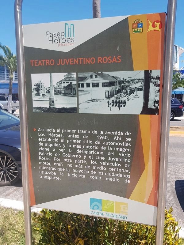
Así lucía el primer tramo de la avenida de Los Héroes, antes de 1960. Ahí se estableció el primer sitio de automóviles de alquiler, y lo más notorio de la imagen viene a ser la desaparición del viejo Palacio de Gobierno y el cine Juventino Rosas. Por otra parte, los vehículos de motor, eran no más de medio centenar mientras que la mayoría de los ciudadanos utilizaba la bicicleta como medio de transporte.
Juventino Rosas Theater
This photograph shows the first section of Avenida de los Héroes as it appeared before 1960. Here the first car rental site in the city was established. The most notable of the image is the disappearance of the old Government Palace and the Juventino Rosas Theater. On the other hand, the total motor vehicles were no more than fifty or so total in the city, while the majority of the citizens used the bicycle as a means of transport.
Topics. This historical marker is listed in these topic lists: Arts, Letters, Music • Industry & Commerce • Man-Made Features. A significant historical year for this entry is 1960.
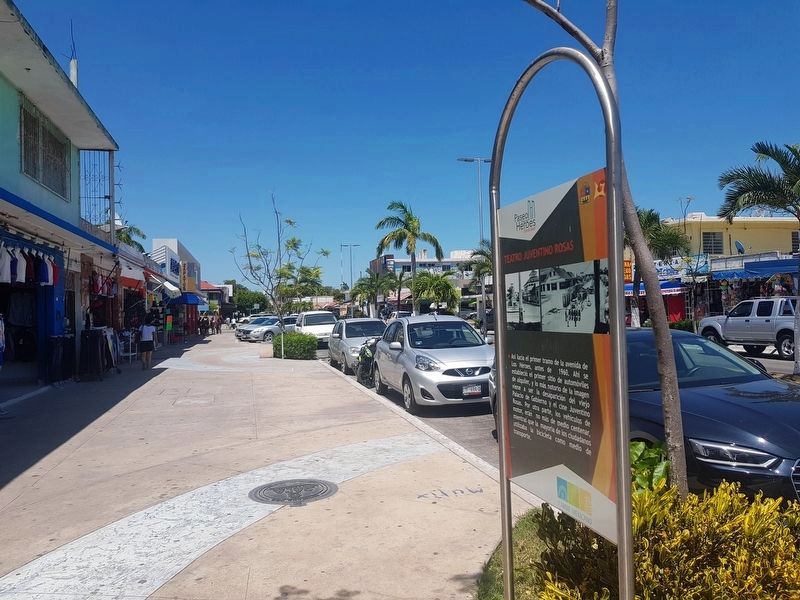
Location. 18° 29.911′ N, 88° 17.794′ W. Marker is in Chetumal, Quintana Roo, in Othón P. Blanco. Marker is on Avenida de los Héroes just south of Calle General Plutarco Elías Calles, on the right when traveling south. Touch for map. Marker is in this post office area: Chetumal QR 77000, Mexico. Touch for directions.
Other nearby markers. At least 8 other markers are within walking distance of this marker. Quintana Roo State Seal (within shouting distance of this marker); Hurricane Janet (within shouting distance of this marker); Francisco I. Madero (within shouting distance of this marker); Benito Juárez García (within shouting distance of this marker); Cuauhtémoc (within shouting distance of this marker); Kiosko López (about 90 meters away, measured in a direct line); The History of Chetumal 1920-1930 (about 120 meters away); The Maya Region and the Route of the Churches (about 150 meters away). Touch for a list and map of all markers in Chetumal.
Credits. This page was last revised on May 18, 2019. It was originally submitted on May 18, 2019, by J. Makali Bruton of Accra, Ghana. This page has been viewed 202 times since then and 20 times this year. Photos: 1, 2. submitted on May 18, 2019, by J. Makali Bruton of Accra, Ghana.

