Monroe in Ouachita Parish, Louisiana — The American South (West South Central)
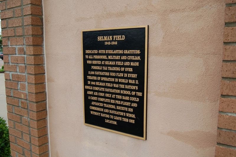
Selman Field
1942-1945
Dedicated - With Everlasting Gratitude-
To all personnel, military and civilian, who served at Selman Field and made possible the training of over 5,000 navigators who flew in every theater of operation in World War II.
In 1942 Selman Field was the nation's single complete navigation school of the Army Air Corp. Only at this base could a cadet complete his pre-flight and advanced training, receive his commission and navigator's wings, without having to leave this one location.
Topics. This historical marker is listed in these topic lists: Air & Space • Military • War, World II.
Location. 32° 30.644′ N, 92° 2.641′ W. Marker is in Monroe, Louisiana, in Ouachita Parish. Marker is on Operations Road, on the left when traveling north. Located at Monroe Regional Airport. Touch for map. Marker is at or near this postal address: 5400 Operations Road, Monroe LA 71212, United States of America. Touch for directions.
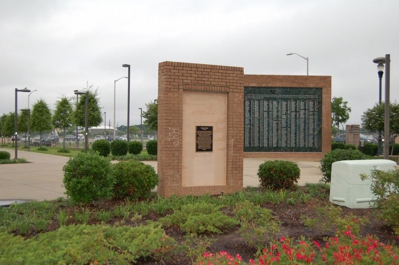
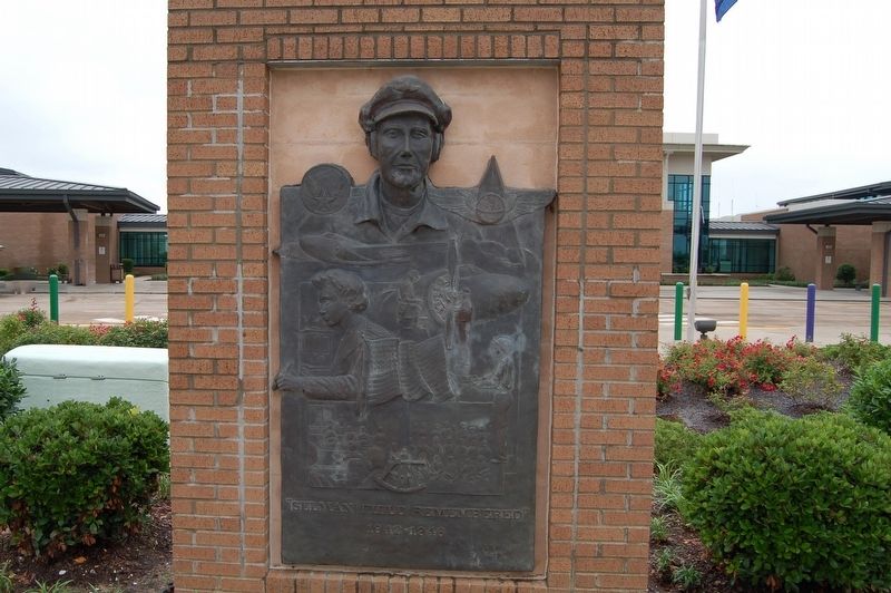
Other nearby markers. At least 8 other markers are within 4 miles of this marker, measured as the crow flies. Selman Field Navigator Memorial (a few steps from this marker); Claire Lee Chennault (approx. 0.6 miles away); OH-6 Cayuse Helicopter (approx. 0.6 miles away); Ivory Joe Hunter (approx. 1.8 miles away); The Monroe Monarchs (approx. 2.4 miles away); The Honorable Abe Edward Pierce III Convention Center (approx. 3.7 miles away); B.D. Robinson Conference Hall (approx. 3.8 miles away); W.L. "Jack" Howard Theatre (approx. 3.8 miles away). Touch for a list and map of all markers in Monroe.
More about this marker. Located in front of main terminal building of Monroe Regional Airport.
Credits. This page was last revised on March 30, 2024. It was originally submitted on May 19, 2019, by Cajun Scrambler of Assumption, Louisiana. This page has been viewed 222 times since then and 19 times this year. Photos: 1, 2, 3. submitted on May 19, 2019.


