Near Crescent Junction in Grand County, Utah — The American Mountains (Southwest)
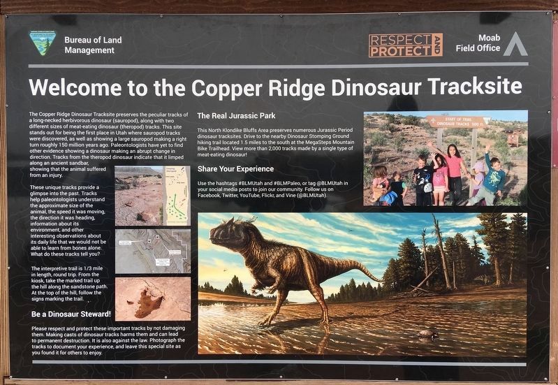
Copper Ridge Dinosaur Tracksite
Photographed by Craig Baker, April 10, 2019
1. Copper Ridge Dinosaur Tracksite Marker
These unique tracks provide a glimpse into the past. Tracks help paleontologists understand the approximate size of the animal, the speed it was moving, the direction it was heading, information about its environment, and other interesting observations about its daily life that we would not be able to learn from bones alone. What do these tracks tell you?
The interpretive trail is 1/3 mile in length, round trip. From the kiosk, take the marked trail up the hill along the sandstone path. At the top of the hill, follow
this page online
Be a Dinosaur Steward!
Please respect and protect these important tracks by not damaging them. Making casts of dinosaur tracks harms them and can lead to permanent destruction. It is also against the law. Photograph the tracks to document your experience, and leave this special site as you found it for others to enjoy.
The Real Jurassic Park
This North Klondike Bluffs Area preserves numerous Jurassic Period dinosaur tracksites. Drive to the nearby Dinosaur Stomping Ground hiking trail located 1.5 miles to the south at the MegaSteps Mountain Bike Trailhead. View more than 2,000 tracks made by a single type of meat-eating dinosaur!
Share Your Experience
Use the hashtags #BLMUtah and #BLMPaleo, or tag @BLMUtah in your social media posts to join our community. Follow us on Facebook, Twitter, YouTube, Flickr, and Vine (@BLMUtah).
Erected by Bureau of Land Management.
Topics. This historical marker is listed in this topic list: Paleontology.
Location. 38° 49.9′ N, 109° 45.723′ W. Marker is near Crescent Junction, Utah,
Photographed by Craig Baker, April 10, 2019
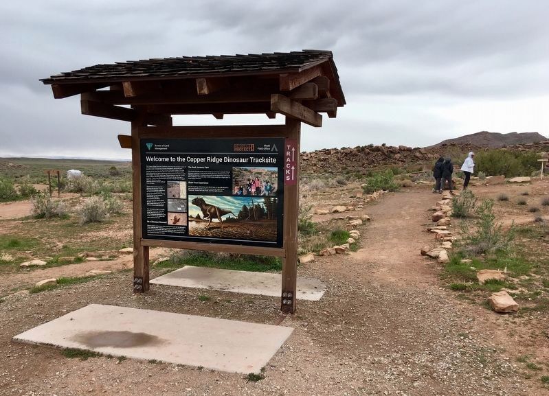
2. Copper Ridge Dinosaur Tracksite Marker

Regionally, this marker is in Canyon Country. It is also in the American Mountain West, on the Colorado Plateau, and at the Four Corners. Globally, it is in North America, the Western Hemisphere, the Western World, and the Anglosphere. Historically, it finds itself in what was once New Spain and also Mexico’s Alta California.

Other nearby markers. At least 8 other markers are within 8 miles of this marker, measured as the crow flies: Geology (approx. 7.7 miles away); A spring morning 112 million years ago... (approx. 7.7 miles away); Ornithopod Tracks (approx. 7.7 miles away); Sauropods or Ankylosaurs? (approx. 7.7 miles away); Sauropod Tracks (approx. 7.7 miles away); Algae (approx. 7.7 miles away); Large Theropod Tracks (approx. 7.7 miles away); Medium-size Theropod Tracks (approx. 7.7 miles away).
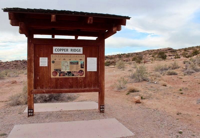
3. Copper Ridge Dinosaur Trackway Marker
The marker is on the left.
(Original marker which has been replaced)
Photographed by Robert L Weber
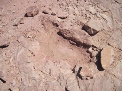
4. Copper Ridge Dinosaur Track
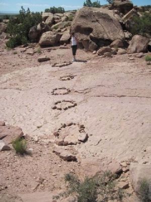
Photographed by Robert L Weber
5. Dinosaur Trackway
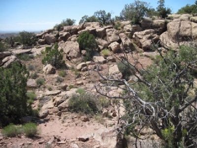
Photographed by Robert L Weber
6. Copper Ridge Area
Credits. This page was last revised on June 15, 2019. It was originally submitted on December 24, 2010, by Bob (peach) Weber of Dewey, Arizona. This page has been viewed 1,534 times since then and 42 times this year. Last updated on May 21, 2019, by Bob (peach) Weber of Dewey, Arizona. Photos: 1, 2. submitted on April 22, 2019, by Craig Baker of Sylmar, California. 3. submitted on February 2, 2019, by Craig Baker of Sylmar, California. 4, 5, 6. submitted on December 24, 2010, by Bob (peach) Weber of Dewey, Arizona. • Syd Whittle was the editor who published this page.
