Near Tybee Island in Chatham County, Georgia — The American South (South Atlantic)
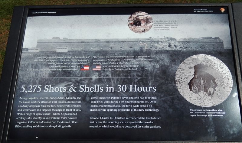
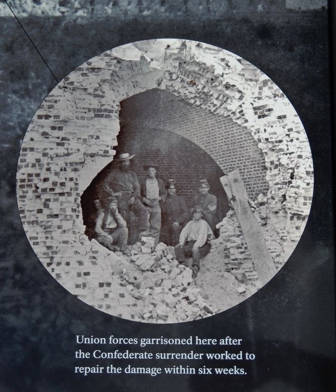
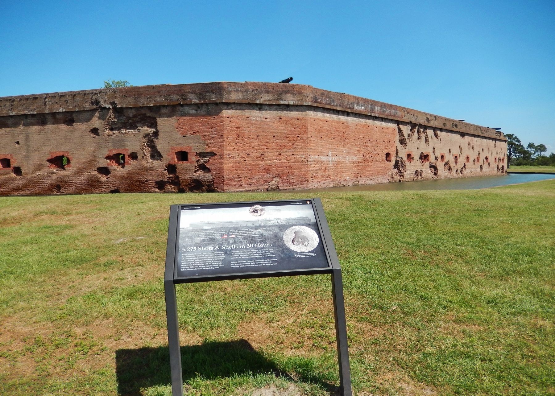
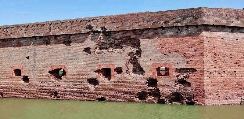
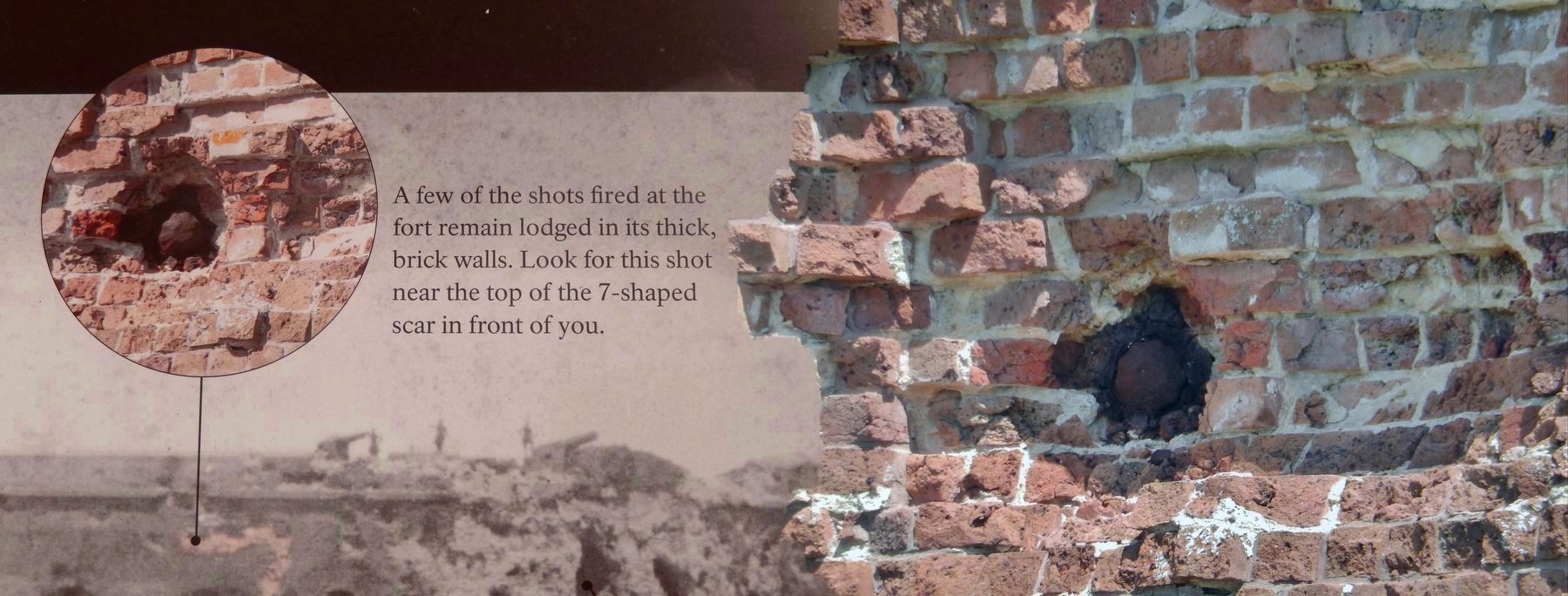
5,275 Shots & Shells in 30 Hours
Fort Pulaski National Monument
Colonel Charles H. Olmstead surrendered the Confederate fort before the incoming shells exploded the powder magazine, which would have destroyed the entire garrison.
"[The] steel pointed shot bored through the brick walls as if they were so much paper… The science of war has leaped a century forward and all are behind the age!"
Captain George A. Mercer
Confederate Army, 1st Regiment Georgia Volunteer Infantry
"The result of this bombardment must cause… a change in the construction of fortifications… No works of stone or brick can resist the impact of rifled artillery of heavy caliber."
Major General David Hunter
Union Army, Department of the South
Erected by National Park Service, U.S. Department of the Interior.
Topics. This historical marker is listed in these topic lists: Architecture • Forts and Castles • War, US Civil. A significant historical date for this entry is April 10, 1862.
Location. 32° 1.565′ N, 80° 53.398′ W. Marker is near Tybee Island, Georgia, in Chatham County. Marker can be reached from Fort Pulaski Road, one mile north of U.S. 80. Marker is located at Fort Pulaski National Monument, overlooking the southeast corner of the fort from about 50 feet beyond the moat. Touch for map. Marker is in this post office area: Tybee Island GA 31328, United States of America. Touch for directions.
Other nearby markers. At least 8 other markers are within walking distance of this marker. A Devastating Bombardment (within shouting distance of this marker); Federal Siege Batteries (within shouting distance of this marker); Through the Thick Brick Wall (within shouting distance of this marker); Fort at Play (within shouting distance of this marker); Store House (within shouting distance of this marker); Southwest Bastion (within shouting distance of this marker); Southwest Magazine (about 300 feet away, measured in a direct line); Shifting Shoreline (about 300 feet away). Touch for a list and map of all markers in Tybee Island.
Related markers. Click here for a list of markers that are related to this marker. The Battle for Fort Pulaski
Also see . . . Battle for Fort Pulaski. Gillmore was destined to play the leading role in the Fort Pulaski story and win for the fort a permanent niche in the military annals of the United States. He was familiar with the test records of a new weapon, the rifled gun, with which the Army had begun to experiment in 1859, and, on December 1, 1861, he broke with tradition and risked the laughter of his superiors. After a careful reconnaissance he reported to Sherman that it would be possible to reduce Fort Pulaski with mortars and rifled guns from Tybee Island. On this basis he submitted a complete plan for the attack on Fort Pulaski. Sherman approved the plan, but he made it clear that he doubted the usefulness of the rifled guns. (Submitted on May 22, 2019, by Cosmos Mariner of Cape Canaveral, Florida.)
Credits. This page was last revised on May 23, 2019. It was originally submitted on May 21, 2019, by Cosmos Mariner of Cape Canaveral, Florida. This page has been viewed 277 times since then and 29 times this year. Photos: 1, 2, 3, 4, 5, 6. submitted on May 22, 2019, by Cosmos Mariner of Cape Canaveral, Florida.
